Old Maps of Georgetown, Idaho for Metal Detecting
Plan your next treasure hunt with 19 historic maps of Georgetown. Find old homesites, ghost towns, trails, and gathering spots that may be lost to time — perfect for identifying promising metal detecting locations.
- Locate forgotten sites: Uncover places like long-lost settlements, abandoned rail lines, or gathering spots.
- Plan better hunts: Use map overlays combined with LiDAR or satellite views to narrow in on historically rich areas.
- Made for detectorists: Thousands of hobbyists use these maps to discover relics, coins, and hidden history.
Use these historic maps to boost your research and find new opportunities beneath the surface of Georgetown.
Georgetown, ID maps
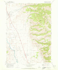
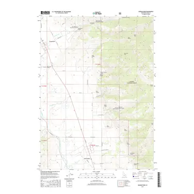
(19)- 1909 Map of Montpelier, 1957 Print
 1909 Montpelier1957 Print · USGSBear Lake County at the turn of the century shows a landscape defined by the arrival of the Oregon Short Line RR and early irrigation. Researchers can trace the original footprints of Montpelier and Paris or locate the historic Hot Springs Turnpike along the lake's eastern shore.
 - 1911 Map of Montpelier
 1911 Montpelier1911 Print · USGSThe Bear Lake Valley at the start of the twentieth century was a vital rail and ranching corridor. Trace the Oregon Short Line RR through Montpelier and Paris, or locate early lakeside settlements like Fish Haven and St Charles.3 unique versions available
 - 1955 Map of Preston, 1968 Print
 1955 Preston1968 Print · USGSSoutheast Idaho and western Wyoming are shown in detail during the mid-fifties, from the high Bear River Range to the Green River Basin. Genealogists and collectors can trace the Union Pacific RR through historic towns like Preston, Montpelier, and Afton.3 unique versions available
 - 1958 Map of Preston
 1958 Preston1958 Print · USGSThe high valleys of the Idaho and Wyoming borderlands are captured here in the late fifties, showcasing a landscape of mountain ranching and phosphate mining. Genealogists and historians can locate early settlements like Chesterfield and Bedford or trace the Union Pacific rail lines serving Cokeville.2 unique versions available
 - 1962 Map of Preston
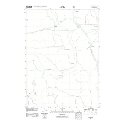
 1962 Preston1962 Print · USGSSoutheast Idaho and the Wyoming borderlands are captured here in the early sixties, a time of thriving agricultural valleys and mountain ranching. Researchers can trace the Union Pacific rail lines and find legacy settlements like Montpelier, Afton, and Preston.
 - 1970 Map of Georgetown, 1973 Print
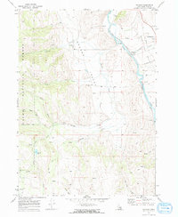
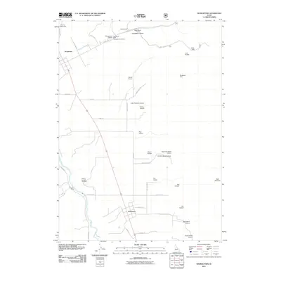
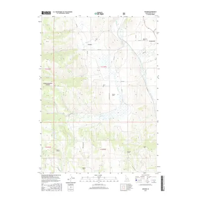
 1970 Georgetown1973 Print · USGSBear Lake Valley in the 1970s is shown as a hub of rail transport and river-bottom agriculture. Genealogists and local historians can trace the settlement footprints of Georgetown, Bennington, and Pescadero or locate early family burials at the Cem.2 unique versions available
 - 1970 Map of Nounan, 1973 Print
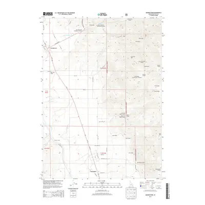
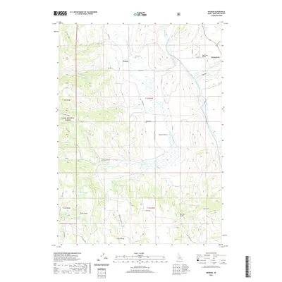
 1970 Nounan1973 Print · USGSBear Lake County in the early seventies centers on the quiet agricultural life of Nounan and the winding Bear River corridor. Researchers can trace family history at Skinner Cem, locate western Mines, or follow the Union Pacific through Georgetown (Siding).2 unique versions available
 - 1983 Map of Preston
 1983 Preston1983 Print · USGSSoutheast Idaho and the tri-state border region thrived on a mix of mountain agriculture and rail transport in the early eighties. Genealogists and historians can trace the Union Pacific corridor through Preston or locate family landmarks in Mound Valley and Paris.
 - 2005 Map of Nounan, 2007 Print
 2005 Nounan2007 Print · USGSThe Nounan and Bear Lake valleys in the mid-2000s offer a detailed record of the river-and-rail economy along the Bear River. Researchers can locate family sites at Skinner Cem, explore the layout of Nounan, or trace rail history at Georgetown (Siding).
 - 2011 Map of Nounan, 2011 Print
 2011 Nounan2011 Print · USGSCovers Georgetown, including Bear Lake County, United States, and other nearby areas
 - 2011 Map of Georgetown, 2011 Print
 2011 Georgetown2011 Print · USGSCovers Georgetown, including Bear Lake County, United States, and other nearby areas
 - 2013 Map of Nounan, 2013 Print
 2013 Nounan2013 Print · USGSCovers Georgetown, including Bear Lake County, United States, and other nearby areas
 - 2013 Map of Georgetown, 2013 Print
 2013 Georgetown2013 Print · USGSCovers Georgetown, including Bear Lake County, United States, and other nearby areas
 - 2017 Map of Nounan, 2017 Print
 2017 Nounan2017 Print · USGSCovers Georgetown, including Bear Lake County, United States, and other nearby areas
 - 2017 Map of Georgetown, 2017 Print
 2017 Georgetown2017 Print · USGSCovers Georgetown, including Bear Lake County, United States, and other nearby areas
 - 2020 Map of Nounan, 2020 Print
 2020 Nounan2020 Print · USGSCovers Georgetown, including Bear Lake County, United States, and other nearby areas
 - 2020 Map of Georgetown, 2020 Print
 2020 Georgetown2020 Print · USGSCovers Georgetown, including Bear Lake County, United States, and other nearby areas
 - 2023 Map of Georgetown, 2023 Print
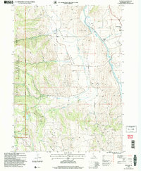
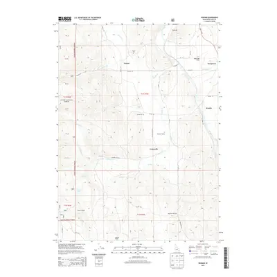
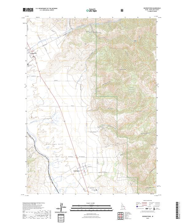 2023 Georgetown2023 Print · USGSAgricultural life in the Bear Lake Valley meets the high peaks of the Preuss Range in this recent survey. Genealogists can trace family names and sites at the Georgetown Cem and Bennington Cem or follow old trails through Maple Canyon and White Pass.
 - 2023 Map of Nounan, 2023 Print
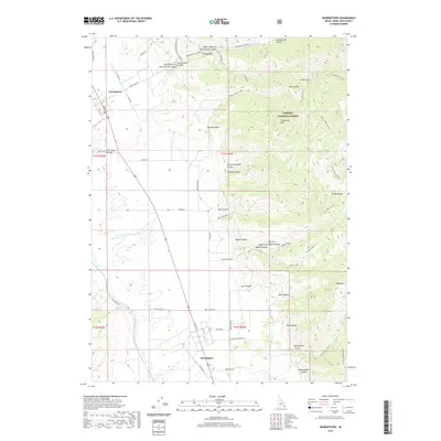
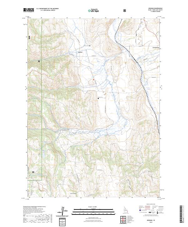 2023 Nounan2023 Print · USGSBear Lake County's high valleys come into focus in this contemporary survey of the southeastern Idaho landscape. Genealogists and local historians can trace the current footprints of Nounan and Georgetown, while following the path of Skinner Creek.
End of results
Showing maps 1-19 of 19
Top cities near Georgetown
Frequently asked questions
- What are the different types of historical maps available for Georgetown?
- What is the oldest map of Georgetown?
- Where can I purchase historical maps of Georgetown for my home or office?
- Where can I download high-res historical maps of Georgetown?
- Are there historical topographic maps available for Georgetown?
- Is there historical aerial imagery available for Georgetown?
- Where are historical maps of Georgetown sourced from?