Old Maps of St. Charles, Idaho for Academic Research
Study the evolution of St. Charles with 20 high-resolution historic maps. Whether you're teaching, researching, or modeling changes in land use, these maps provide essential visual documentation of urban, environmental, and geographic change.
- Analyze long-term change: Track patterns in development, transportation, and natural features.
- Ideal for environmental or urban studies: Support academic projects with primary historical map data.
- Use in the classroom or lab: Educators and researchers rely on these maps to bring historical context to life.
These maps are a powerful tool for teaching, research, and visualizing how St. Charles has changed over the decades.
St. Charles, ID maps
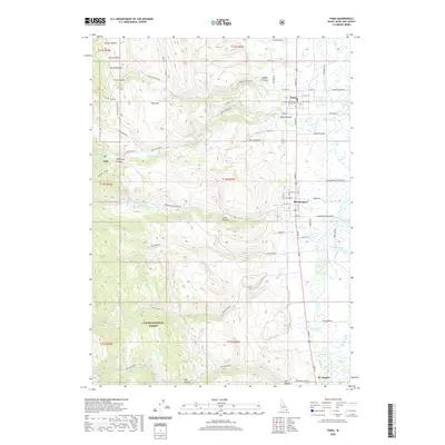
(20)- 1909 Map of Montpelier, 1957 Print
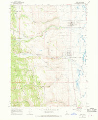
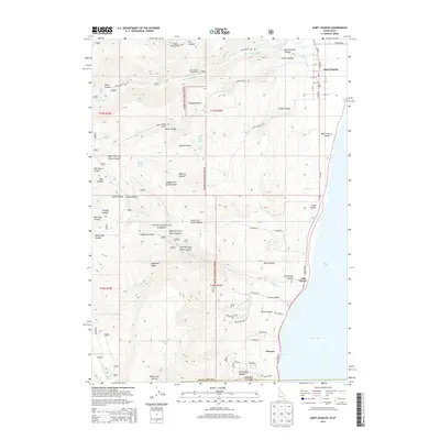
 1909 Montpelier1957 Print · USGSBear Lake County at the turn of the century shows a landscape defined by the arrival of the Oregon Short Line RR and early irrigation. Researchers can trace the original footprints of Montpelier and Paris or locate the historic Hot Springs Turnpike along the lake's eastern shore.
 - 1911 Map of Montpelier
 1911 Montpelier1911 Print · USGSThe Bear Lake Valley at the start of the twentieth century was a vital rail and ranching corridor. Trace the Oregon Short Line RR through Montpelier and Paris, or locate early lakeside settlements like Fish Haven and St Charles.3 unique versions available
 - 1955 Map of Preston, 1968 Print
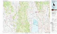
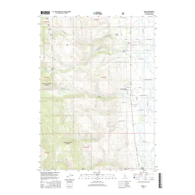
 1955 Preston1968 Print · USGSSoutheast Idaho and western Wyoming are shown in detail during the mid-fifties, from the high Bear River Range to the Green River Basin. Genealogists and collectors can trace the Union Pacific RR through historic towns like Preston, Montpelier, and Afton.3 unique versions available
 - 1958 Map of Preston
 1958 Preston1958 Print · USGSThe high valleys of the Idaho and Wyoming borderlands are captured here in the late fifties, showcasing a landscape of mountain ranching and phosphate mining. Genealogists and historians can locate early settlements like Chesterfield and Bedford or trace the Union Pacific rail lines serving Cokeville.2 unique versions available
 - 1962 Map of Preston
 1962 Preston1962 Print · USGSSoutheast Idaho and the Wyoming borderlands are captured here in the early sixties, a time of thriving agricultural valleys and mountain ranching. Researchers can trace the Union Pacific rail lines and find legacy settlements like Montpelier, Afton, and Preston.
 - 1967 Map of Paris, 1968 Print
 1967 Paris1968 Print · USGSThe Bear Lake Valley villages of Paris and Bloomington are shown here in the late 1960s, poised between the lakeshore and the forest. Researchers can trace family-named sites and infrastructure like Emerson Sch, the Boulder Mine, and the OLD RAILROAD GRADE.3 unique versions available
 - 1969 Map of St Charles, 1973 Print
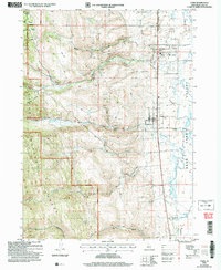
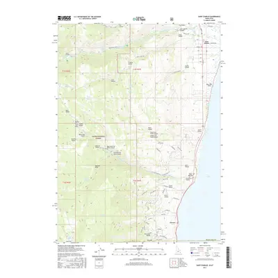
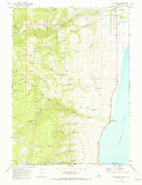 1969 St Charles1973 Print · USGSBear Lake's western shoreline and the mountain canyons above were well-established by the late sixties. Genealogists and hikers can trace the streets of St Charles, find the local Cem, and explore the backcountry near Blackstone Mine or Fish Haven.2 unique versions available
 - 1983 Map of Preston
 1983 Preston1983 Print · USGSSoutheast Idaho and the tri-state border region thrived on a mix of mountain agriculture and rail transport in the early eighties. Genealogists and historians can trace the Union Pacific corridor through Preston or locate family landmarks in Mound Valley and Paris.
 - 2005 Map of Saint Charles, 2007 Print
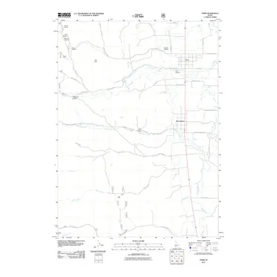
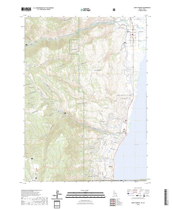
 2005 Saint Charles2007 Print · USGSAlong the Idaho-Utah border in the early 2000s, the western shore of Bear Lake remained a mix of forest management and lakeside settlement. Genealogists and researchers can trace local landmarks like Blackstone Mine, the historic St Charles townsite, and rural sites such as Swan Flat.
 - 2005 Map of Paris, 2007 Print
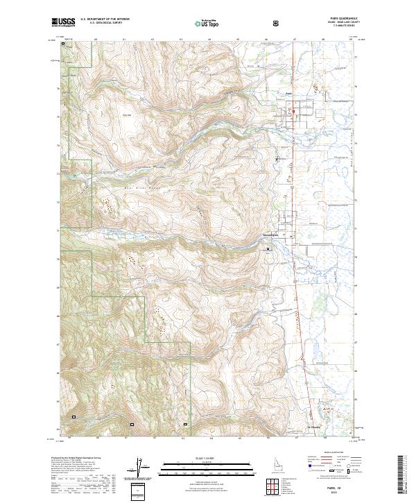
 2005 Paris2007 Print · USGSThe Bear Lake Valley at the turn of the millennium shows a landscape of mountain canyons meeting high-desert settlements. Researchers can trace local landmarks like the Bear Lake HS, the Rodeo Grounds, and remote sites including the Boulder Mine or Paris Spring.
 - 2011 Map of Paris, 2011 Print
 2011 Paris2011 Print · USGSCovers St. Charles, including Paris, Bloomington, and other nearby areas
 - 2011 Map of Saint Charles, 2011 Print
 2011 Saint Charles2011 Print · USGSCovers St. Charles, including Glencoe, Fish Haven, and other nearby areas
 - 2013 Map of Paris, 2013 Print
 2013 Paris2013 Print · USGSCovers St. Charles, including Paris, Bloomington, and other nearby areas
 - 2013 Map of Saint Charles, 2013 Print
 2013 Saint Charles2013 Print · USGSCovers St. Charles, including Glencoe, Fish Haven, and other nearby areas
 - 2017 Map of Paris, 2017 Print
 2017 Paris2017 Print · USGSCovers St. Charles, including Paris, Bloomington, and other nearby areas
 - 2017 Map of Saint Charles, 2017 Print
 2017 Saint Charles2017 Print · USGSCovers St. Charles, including Glencoe, Fish Haven, and other nearby areas
 - 2020 Map of Saint Charles, 2020 Print
 2020 Saint Charles2020 Print · USGSCovers St. Charles, including Glencoe, Fish Haven, and other nearby areas
 - 2020 Map of Paris, 2020 Print
 2020 Paris2020 Print · USGSCovers St. Charles, including Paris, Bloomington, and other nearby areas
 - 2023 Map of Paris, 2023 Print
 2023 Paris2023 Print · USGSThe eastern front of the Bear River Range meets the valley floor in this modern survey of Bear Lake County settlements. Researchers can trace local lineage and land use through the Lake County Courthouse, Paris Cem, and the grids of Bloomington and St. Charles.
 - 2024 Map of Saint Charles, 2024 Print
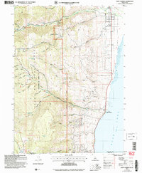
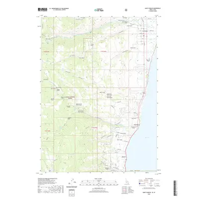
 2024 Saint Charles2024 Print · USGSThe Idaho-Utah border country comes alive on this map, showing the settlements and steep canyons along the western shore of Bear Lake. Genealogists and historians can trace local roots at Saint Charles Cem or follow old routes through Fish Haven Canyon and Dutch Canyon.
End of results
Showing maps 1-20 of 20
Top cities near St. Charles
- Montpelier historical maps
- Paris historical maps
- Garden City historical maps
- Bloomington historical maps
Top neighborhoods of St. Charles
Frequently asked questions
- What are the different types of historical maps available for St. Charles?
- What is the oldest map of St. Charles?
- Where can I purchase historical maps of St. Charles for my home or office?
- Where can I download high-res historical maps of St. Charles?
- Are there historical topographic maps available for St. Charles?
- Is there historical aerial imagery available for St. Charles?
- Where are historical maps of St. Charles sourced from?