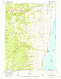
1969 Map of St Charles
USGS Topo · Published 1973About this map
The western shores of Bear Lake define this high-altitude landscape where the agricultural flats of the Valley meet the steep slopes of the Cache National Forest. In the late 1960s, the settlement of St Charles sits at the mouth of St Charles Canyon, supported by the waters of St Charles Creek and proximity to the Cem on the town's southern edge. Further south along the shoreline, the community of Fish Haven marks the point where Fish Haven Creek drains into the lake.
Find a feature on this map
56 named features on this map. Tap any name to fly to it.
Don’t see what you’re looking for? This feature index may not catch every label — zoom into the map to look around manually.
Map Details
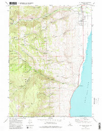
Editions of this 1969 St Charles Map
2 editions found
Other maps of this area
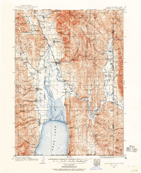
1909 · Montpelier
USGS Topo · 1:125,000
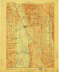
1911 · Montpelier
USGS Topo · 1:125,000
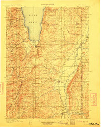
1912 · Randolph
USGS Topo · 1:125,000
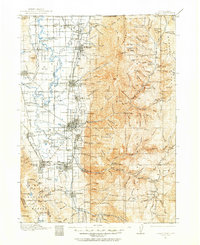
1914 · Logan
USGS Topo · 1:125,000
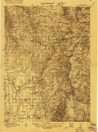
1915 · Preston
USGS Topo · 1:96,000
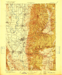
1916 · Logan
USGS Topo · 1:125,000
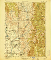
1918 · Preston
USGS Topo · 1:125,000

1954 · Ogden
USGS Topo · 1:250,000
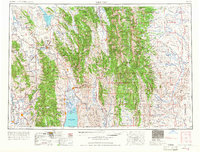
1955 · Preston
USGS Topo · 1:250,000
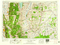
1958 · Ogden
USGS Topo · 1:250,000