2000s (21st Century) Maps of Idaho Falls, Idaho
Explore 20 historic maps of Idaho Falls from the 2000s (21st Century). These maps offer a rare glimpse into what life looked like during the 2000s — showing old roads, neighborhoods, homes, and landmarks that have changed or disappeared over time.
Whether you're researching your family's past, planning a metal detecting trip, or studying how Idaho Falls's landscape evolved across the 2000s, these high-resolution maps are a powerful tool for exploring the history of this region.
- Focus on a specific era: All maps on this page are from the 2000s, giving you a focused view of this time period.
- See what’s changed: Compare century-old streets, trails, and buildings to today's modern landscape using overlays and satellite layers.
- Research with precision: Use these maps for genealogy, historical research, land use analysis, or educational projects.
- View, download, or print: Maps are fully viewable online in high resolution, and can be downloaded or printed for your own records.
Start exploring Idaho Falls's history through authentic maps from the 2000s. This is your window into the past.
Idaho Falls, ID maps
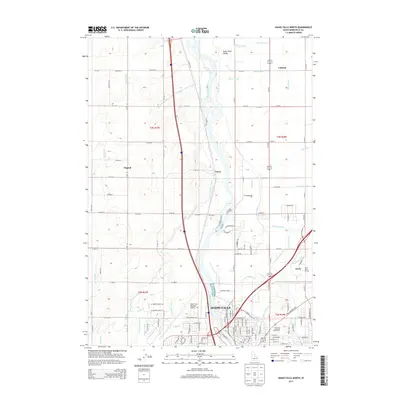
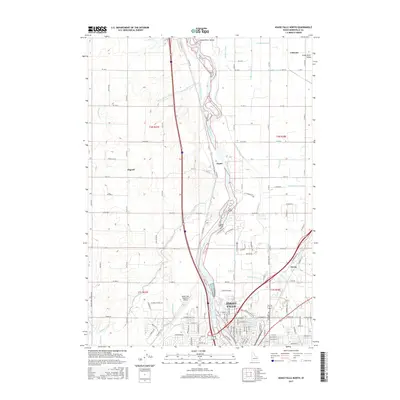
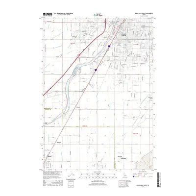
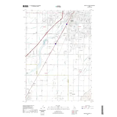
(20)- 2010 Map of Idaho Falls South, 2010 Print
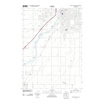 2010 Idaho Falls South2010 Print · USGSCovers Idaho Falls, including Taylorville, Cotton, and other nearby areas
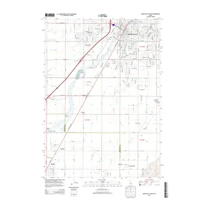
 - 2010 Map of Idaho Falls North, 2010 Print
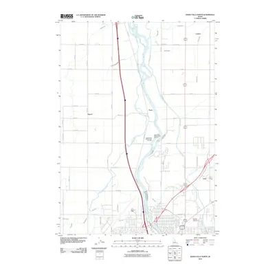 2010 Idaho Falls North2010 Print · USGSCovers Idaho Falls, including North Idaho Falls, Bonneville County, and other nearby areas
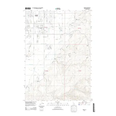
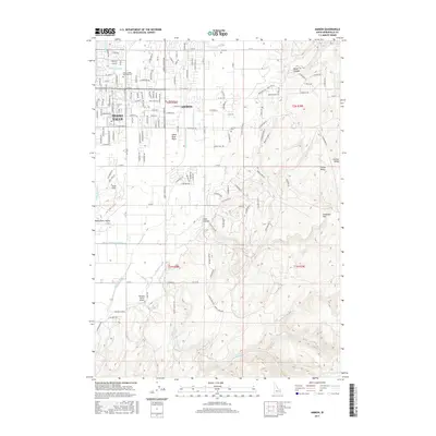
 - 2011 Map of Ammon, 2011 Print
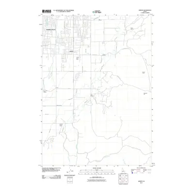 2011 Ammon2011 Print · USGSCovers Idaho Falls, including Ammon, Blackhawk, and other nearby areas
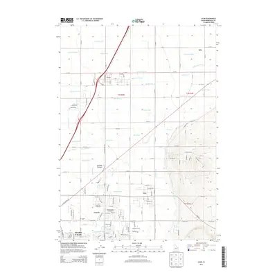
 - 2011 Map of Ucon, 2011 Print
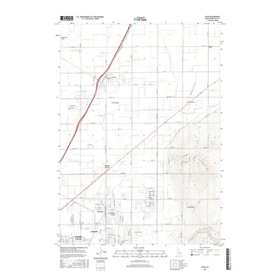
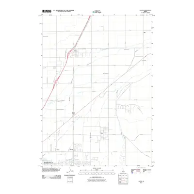 2011 Ucon2011 Print · USGSCovers Idaho Falls, including Ammon, Iona, and other nearby areas
 - 2013 Map of Idaho Falls North, 2013 Print
 2013 Idaho Falls North2013 Print · USGSCovers Idaho Falls, including North Idaho Falls, Bonneville County, and other nearby areas
 - 2013 Map of Idaho Falls South, 2013 Print
 2013 Idaho Falls South2013 Print · USGSCovers Idaho Falls, including Taylorville, Cotton, and other nearby areas
 - 2013 Map of Ammon, 2013 Print
 2013 Ammon2013 Print · USGSCovers Idaho Falls, including Ammon, Blackhawk, and other nearby areas
 - 2013 Map of Ucon, 2013 Print
 2013 Ucon2013 Print · USGSCovers Idaho Falls, including Ammon, Iona, and other nearby areas
 - 2017 Map of Ammon, 2017 Print
 2017 Ammon2017 Print · USGSCovers Idaho Falls, including Ammon, Blackhawk, and other nearby areas
 - 2017 Map of Ucon, 2017 Print
 2017 Ucon2017 Print · USGSCovers Idaho Falls, including Ammon, Iona, and other nearby areas
 - 2017 Map of Idaho Falls North, 2017 Print
 2017 Idaho Falls North2017 Print · USGSCovers Idaho Falls, including North Idaho Falls, Bonneville County, and other nearby areas
 - 2017 Map of Idaho Falls South, 2017 Print
 2017 Idaho Falls South2017 Print · USGSCovers Idaho Falls, including Taylorville, Cotton, and other nearby areas
 - 2020 Map of Idaho Falls North, 2020 Print
 2020 Idaho Falls North2020 Print · USGSCovers Idaho Falls, including North Idaho Falls, Bonneville County, and other nearby areas
 - 2020 Map of Idaho Falls South, 2020 Print
 2020 Idaho Falls South2020 Print · USGSCovers Idaho Falls, including Taylorville, Cotton, and other nearby areas
 - 2020 Map of Ammon, 2020 Print
 2020 Ammon2020 Print · USGSCovers Idaho Falls, including Ammon, Blackhawk, and other nearby areas
 - 2020 Map of Ucon, 2020 Print
 2020 Ucon2020 Print · USGSCovers Idaho Falls, including Ammon, Iona, and other nearby areas
 - 2023 Map of Idaho Falls North, 2023 Print
 2023 Idaho Falls North2023 Print · USGSNorth of Idaho Falls in the early 2020s, the landscape remains a testament to the region's irrigation history. Trace the intricate canal network from the Snake River to rural hubs like Coltman, Osgood, and the Idaho Falls Regional Airport.
 - 2024 Map of Idaho Falls South, 2024 Print
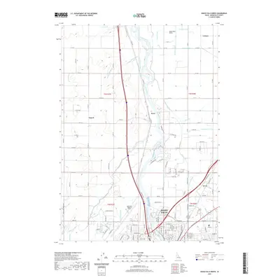
 2024 Idaho Falls South2024 Print · USGSThe Snake River Plain comes alive in this contemporary record of Idaho's agricultural and urban growth. Genealogists and historians can trace family plots at New Sweden Cem or follow the historic water paths of the Great Western Canal and Idaho Canal.
 - 2024 Map of Ucon, 2024 Print
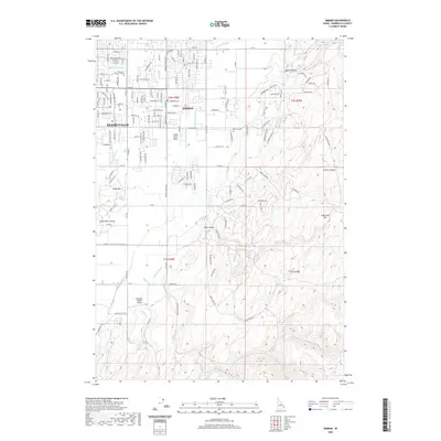
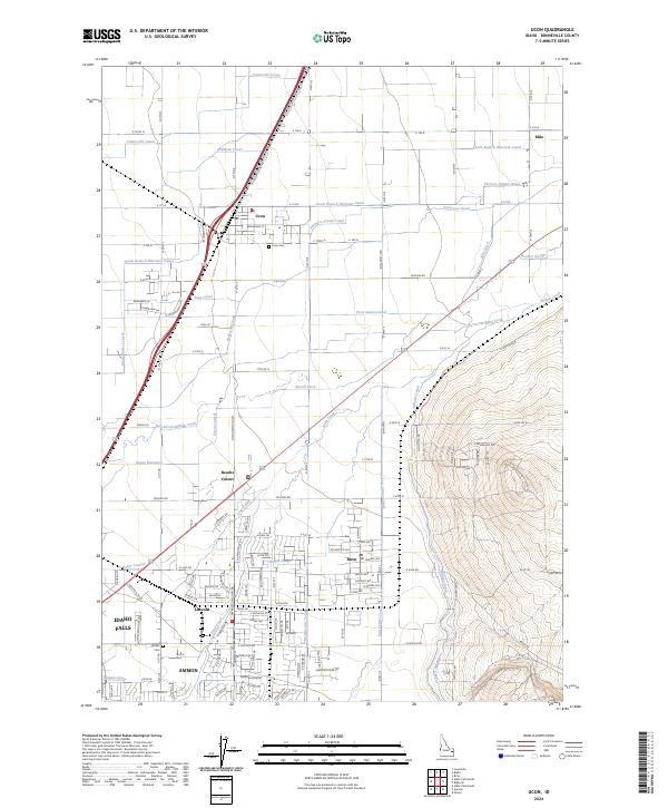 2024 Ucon2024 Print · USGSThe canal-rich valley east of Idaho Falls is documented here during a period of steady growth. Local researchers can trace family lands near Ucon, Iona, and Lincoln, or locate local landmarks like the Ucon Cem and the South Branch Harrison Canal.
 - 2024 Map of Ammon, 2024 Print
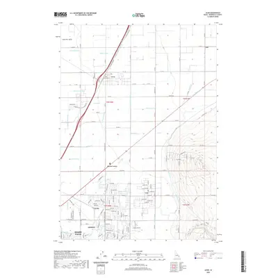
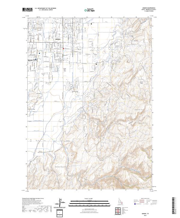 2024 Ammon2024 Print · USGSAmmon and the eastern outskirts of Idaho Falls are shown during a period of modern growth against the backdrop of the Blackfoot Mountains. Genealogists and historians can trace local landmarks like Ammon Cem, the Meppen Canal, and Rainbow Ranch Airport.
End of results
Showing maps 1-20 of 20
Top cities near Idaho Falls
- Ammon historical maps
- Rigby historical maps
- Iona historical maps
- Ucon historical maps
- Menan historical maps
- Roberts historical maps
See more
Top neighborhoods of Idaho Falls
- North Idaho Falls historical maps
- South Idaho Falls historical maps
- Downtown historical maps
- Snake River Landing historical maps
- West Idaho Falls historical maps
Frequently asked questions
- What are the different types of historical maps available for Idaho Falls?
- What is the oldest map of Idaho Falls?
- Where can I purchase historical maps of Idaho Falls for my home or office?
- Where can I download high-res historical maps of Idaho Falls?
- Are there historical topographic maps available for Idaho Falls?
- Is there historical aerial imagery available for Idaho Falls?
- Where are historical maps of Idaho Falls sourced from?