1900s (20th Century) Maps of Elmore County, Idaho
Explore 149 historic maps of Elmore County from the 1900s (20th Century). These maps offer a rare glimpse into what life looked like during the 1900s — showing old roads, neighborhoods, homes, and landmarks that have changed or disappeared over time.
Whether you're researching your family's past, planning a metal detecting trip, or studying how Elmore County's landscape evolved across the 1900s, these high-resolution maps are a powerful tool for exploring the history of this region.
- Focus on a specific era: All maps on this page are from the 1900s, giving you a focused view of this time period.
- See what’s changed: Compare century-old streets, trails, and buildings to today's modern landscape using overlays and satellite layers.
- Research with precision: Use these maps for genealogy, historical research, land use analysis, or educational projects.
- View, download, or print: Maps are fully viewable online in high resolution, and can be downloaded or printed for your own records.
Start exploring Elmore County's history through authentic maps from the 1900s. This is your window into the past.
Elmore County, ID maps
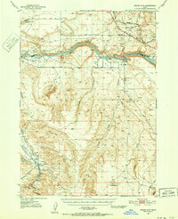
(149)- 1900 Map of Sawtooth
 1900 Sawtooth1900 Print · USGSCovers Elmore County, including Cathedral Pines, Easley Hot Springs, and other nearby areas4 unique versions available
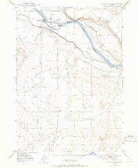
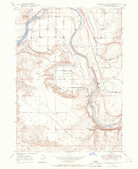
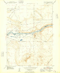
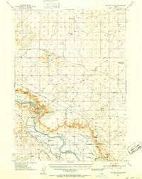
 - 1946 Map of Mouth of Bruneau, 1967 Print
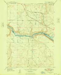
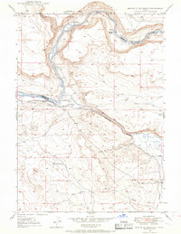 1946 Mouth of Bruneau1967 Print · USGSCovers Elmore County, including Owyhee County, United States, and other nearby areas3 unique versions available
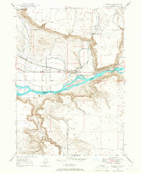
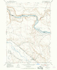
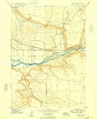
 - 1947 Map of Grand View, 1952 Print
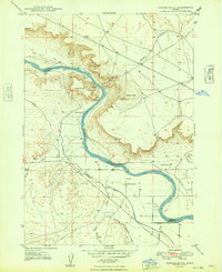
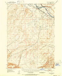 1947 Grand View1952 Print · USGSCovers Elmore County, including Grand View, Owyhee County, and other nearby areas2 unique versions available
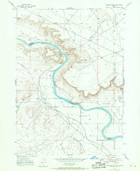
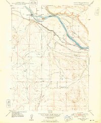
 - 1947 Map of Bruneau, 1952 Print
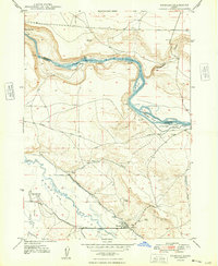
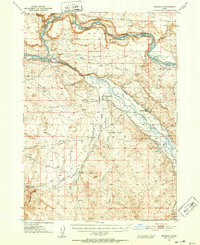 1947 Bruneau1952 Print · USGSCovers Elmore County, including Bruneau, Owyhee County, and other nearby areas2 unique versions available
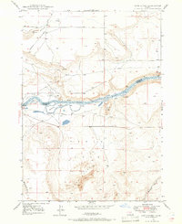
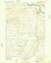
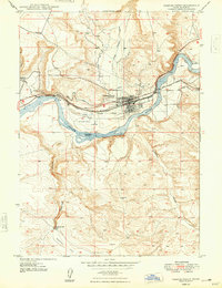
 - 1947 Map of Indian Cove, 1963 Print
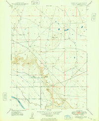
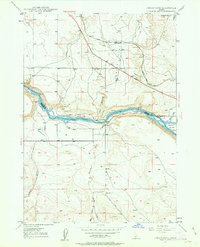 1947 Indian Cove1963 Print · USGSCovers Elmore County, including Owyhee County, United States, and other nearby areas4 unique versions available
 - 1947 Map of Grand View, 1966 Print
 1947 Grand View1966 Print · USGSCovers Elmore County, including Grand View, Owyhee County, and other nearby areas3 unique versions available
 - 1947 Map of Hammett, 1966 Print
 1947 Hammett1966 Print · USGSCovers Elmore County, including Hammett, Owyhee County, and other nearby areas2 unique versions available
 - 1947 Map of Sand Dunes, 1966 Print
 1947 Sand Dunes1966 Print · USGSCovers Elmore County, including Owyhee County, United States, and other nearby areas4 unique versions available
 - 1947 Map of Glenns Ferry, 1968 Print
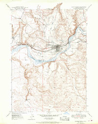 1947 Glenns Ferry1968 Print · USGSCovers Elmore County, including Glenns Ferry, United States, and other nearby areas2 unique versions available
 - 1947 Map of Pasadena Valley, 1968 Print
 1947 Pasadena Valley1968 Print · USGSCovers Elmore County, including United States, Idaho, and other nearby areas2 unique versions available
 - 1947 Map of Bruneau, 1968 Print
 1947 Bruneau1968 Print · USGSCovers Elmore County, including Bruneau, Owyhee County, and other nearby areas3 unique versions available
 - 1947 Map of Jackass Butte, 1971 Print
 1947 Jackass Butte1971 Print · USGSCovers Elmore County, including Ada County, Owyhee County, and other nearby areas2 unique versions available
 - 1947 Map of Dorsey Butte, 1979 Print
 1947 Dorsey Butte1979 Print · USGSCovers Elmore County, including Ada County, Owyhee County, and other nearby areas
 - 1948 Map of Castle Butte
 1948 Castle Butte1948 Print · USGSCovers Elmore County, including Ada County, Owyhee County, and other nearby areas2 unique versions available
 - 1948 Map of Pasadena Valley
 1948 Pasadena Valley1948 Print · USGSCovers Elmore County, including United States, Idaho, and other nearby areas
 - 1948 Map of Sand Dunes
 1948 Sand Dunes1948 Print · USGSCovers Elmore County, including Owyhee County, United States, and other nearby areas
 - 1948 Map of Hammett
 1948 Hammett1948 Print · USGSCovers Elmore County, including Hammett, Owyhee County, and other nearby areas
 - 1948 Map of Grand View
 1948 Grand View1948 Print · USGSCovers Elmore County, including Grand View, Owyhee County, and other nearby areas
 - 1948 Map of Glenns Ferry
 1948 Glenns Ferry1948 Print · USGSCovers Elmore County, including Glenns Ferry, United States, and other nearby areas
 - 1948 Map of Indian Cove
 1948 Indian Cove1948 Print · USGSCovers Elmore County, including Owyhee County, United States, and other nearby areas
 - 1948 Map of Jackass Butte
 1948 Jackass Butte1948 Print · USGSCovers Elmore County, including Ada County, Owyhee County, and other nearby areas
 - 1948 Map of Bruneau
 1948 Bruneau1948 Print · USGSCovers Elmore County, including Bruneau, Owyhee County, and other nearby areas
 - 1948 Map of Dorsey Butte
 1948 Dorsey Butte1948 Print · USGSCovers Elmore County, including Ada County, Owyhee County, and other nearby areas
 - 1948 Map of Indian Cove, 1952 Print
 1948 Indian Cove1952 Print · USGSCovers Elmore County, including Owyhee County, United States, and other nearby areas2 unique versions available
 - 1948 Map of Big Foot Butte, 1952 Print
 1948 Big Foot Butte1952 Print · USGSCovers Elmore County, including Ada County, Owyhee County, and other nearby areas
Showing maps 1-25 of 149
Top cities of Elmore County
Frequently asked questions
- What are the different types of historical maps available for Elmore County?
- What is the oldest map of Elmore County?
- Where can I purchase historical maps of Elmore County for my home or office?
- Where can I download high-res historical maps of Elmore County?
- Are there historical topographic maps available for Elmore County?
- Is there historical aerial imagery available for Elmore County?
- Where are historical maps of Elmore County sourced from?