1970s Maps of Elmore County, Idaho
Explore 16 historic maps of Elmore County from the 1970s. These maps offer a rare glimpse into what life looked like during the 1970s — showing old roads, neighborhoods, homes, and landmarks that have changed or disappeared over time.
Whether you're researching your family's past, planning a metal detecting trip, or studying how Elmore County's landscape evolved across the 1970s, these high-resolution maps are a powerful tool for exploring the history of this region.
- Focus on a specific era: All maps on this page are from the 1970s, giving you a focused view of this time period.
- See what’s changed: Compare century-old streets, trails, and buildings to today's modern landscape using overlays and satellite layers.
- Research with precision: Use these maps for genealogy, historical research, land use analysis, or educational projects.
- View, download, or print: Maps are fully viewable online in high resolution, and can be downloaded or printed for your own records.
Start exploring Elmore County's history through authentic maps from the 1970s. This is your window into the past.
Elmore County, ID maps
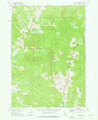
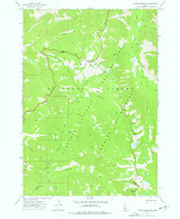
(16)- 1972 Map of Rabbit Creek Summit, 1976 Print
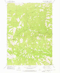 1972 Rabbit Creek Summit1976 Print · USGSThe Boise National Forest wilderness in the early 1970s is captured here, centered on the high divide at Rabbit Creek Summit. Trace remote backcountry routes like the Pack Trail as they cross Rabbit Creek and Meadow Creek.
 - 1972 Map of Barber Flat, 1976 Print
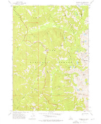
 1972 Barber Flat1976 Print · USGSThe Boise National Forest backcountry in the early 1970s reveals a landscape of pack trails and remote river outposts. Researchers can trace historic access routes like the Hungarian Pack Trail and locate sites such as the Barber Flat Forest Service Station and local Hot Springs.
 - 1972 Map of Big Owl Creek, 1976 Print
 1972 Big Owl Creek1976 Print · USGSThe Boise National Forest backcountry in the early 1970s is captured here, showing the remote watershed where Boise and Elmore counties meet. Researchers can trace historical land use through Dredge Tailings and find local landmarks like the Beaver Creek Forest Service Station and Edna Creek Campground.
 - 1972 Map of Bear River, 1976 Print
 1972 Bear River1976 Print · USGSThe Boise National Forest backcountry in the early seventies shows a wilderness of river canyons and high-elevation trails. Researchers can trace the historic North Fork Boise River corridor to find the Deer Park Guard Sta and Robert E Lee Campground.
 - 1972 Map of Atlanta East, 1976 Print
 1972 Atlanta East1976 Print · USGSMining history and alpine recreation converge in the Idaho backcountry during the early 1970s. Researchers can trace historic lode claims at the Tolache Mine and Monarch Mine or locate early geothermal sites like Chattanooga Hot Spring.2 unique versions available
 - 1972 Map of Swanholm Peak, 1976 Print
 1972 Swanholm Peak1976 Print · USGSHigh in the Boise National Forest during the early 1970s, this area shows the intersection of former mining operations and wilderness management. You can trace the remnants of Graham (Site) and Graham Mill (Site) or locate the Graham Landing Strip near the river.
 - 1972 Map of Phifer Creek, 1976 Print
 1972 Phifer Creek1976 Print · USGSThe Middle Fork Boise River wilderness is captured here in the early 1970s, showing a remote landscape shaped by mining and forest management. Researchers can trace the Dredge Tailings along the river and locate the Dutch Creek Forest Service Station and Weatherby Landing Strip.
 - 1972 Map of Grand Mtn, 1976 Print
 1972 Grand Mtn1976 Print · USGSThe Boise National Forest backcountry in the early 1970s reveals a wilderness of steep drainages and geothermal features. Trace historic pack routes past Grand Mtn or locate the Spring (Hot) along the Middle Fork Boise River.2 unique versions available
 - 1972 Map of Edaho Mountain, 1976 Print
 1972 Edaho Mountain1976 Print · USGSThe Sawtooth range in the early seventies shows a landscape where motorized and pack animal travel intersect along the South Fork Payette River. Trace high-country routes to isolated landmarks like the X Prospect at Picket Mtn and the remote Taylor Spring.2 unique versions available
 - 1972 Map of Mount Everly, 1976 Print
 1972 Mount Everly1976 Print · USGSThe Sawtooth Wilderness in the early seventies remained a primitive landscape defined by glacial lakes and rugged summits. Researchers can trace the high-country trail systems through Tenlake Basin and locate remote waters like Spangle Lake and Benedict Lake.
 - 1972 Map of Nahneke Mtn, 1976 Print
 1972 Nahneke Mtn1976 Print · USGSThe Sawtooth high country in the early seventies remained a landscape of remote pack trails and legacy mining sites. Researchers can trace the remnants of backcountry industry at the Overlook Mill (Ruins) or locate alpine landmarks like Nahneke Mtn and The Hole.2 unique versions available
 - 1972 Map of Atlanta West, 1977 Print
 1972 Atlanta West1977 Print · USGSThe settlement of Atlanta is captured in the early 1970s, nestled at the edge of the Boise and Sawtooth national forests. Researchers can trace the town's industrial footprint through the Atlanta Power Station or locate remote camps like Queens River Campground and Riverside Campground.3 unique versions available
 - 1973 Map of House Mountain, 1976 Print
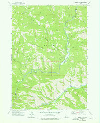
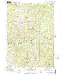
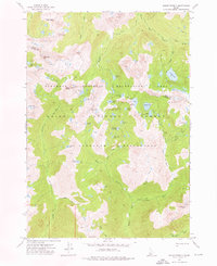
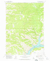 1973 House Mountain1976 Print · USGSElmore County's high country is captured here in the early seventies, dominated by the waters of the Anderson Ranch Reservoir. Researchers can trace the network of old mountain routes and backcountry sites like the Gaging Station, Ice Springs, and House Mountain.
 - 1973 Map of Anderson Ranch Dam, 1977 Print
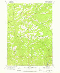
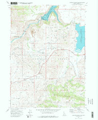 1973 Anderson Ranch Dam1977 Print · USGSElmore County in the early seventies shows a landscape shaped by high-country ranching and major water projects. Researchers can trace the layout of Reclamation Village, locate the Daisy Con Mines, and find the historic Dixie (Site).2 unique versions available
 - 1973 Map of Pine, 1977 Print
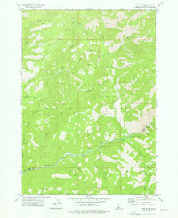
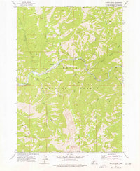
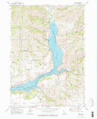 1973 Pine1977 Print · USGSElmore County's mountain canyon country is captured in the early 1970s as the river valleys adapt to the presence of large-scale reservoirs. Researchers can locate the Cem near Pine, trace the footprint of the Franklin Mine, and explore remote landmarks like Sloans.2 unique versions available
 - 1973 Map of Cat Creek Summit, 1977 Print
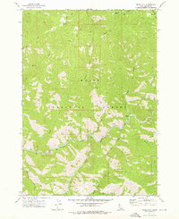
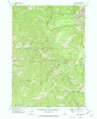
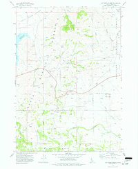 1973 Cat Creek Summit1977 Print · USGSElmore County high country is shown in the early 1970s at the intersection of two national forests. Genealogists and historians can locate remote landmarks like Cat Creek Summit, Moores Flat, and the various Prospects scattered near Wood Creek Mountain.
End of results
Showing maps 1-16 of 16
Top cities of Elmore County
Frequently asked questions
- What are the different types of historical maps available for Elmore County?
- What is the oldest map of Elmore County?
- Where can I purchase historical maps of Elmore County for my home or office?
- Where can I download high-res historical maps of Elmore County?
- Are there historical topographic maps available for Elmore County?
- Is there historical aerial imagery available for Elmore County?
- Where are historical maps of Elmore County sourced from?