2020s Maps of Elmore County, Idaho
Explore 157 historic maps of Elmore County from the 2020s. These maps offer a rare glimpse into what life looked like during the 2020s — showing old roads, neighborhoods, homes, and landmarks that have changed or disappeared over time.
Whether you're researching your family's past, planning a metal detecting trip, or studying how Elmore County's landscape evolved across the 2020s, these high-resolution maps are a powerful tool for exploring the history of this region.
- Focus on a specific era: All maps on this page are from the 2020s, giving you a focused view of this time period.
- See what’s changed: Compare century-old streets, trails, and buildings to today's modern landscape using overlays and satellite layers.
- Research with precision: Use these maps for genealogy, historical research, land use analysis, or educational projects.
- View, download, or print: Maps are fully viewable online in high resolution, and can be downloaded or printed for your own records.
Start exploring Elmore County's history through authentic maps from the 2020s. This is your window into the past.
Elmore County, ID maps
(157)- 2020 Map of Grindstone Butte, 2020 Print
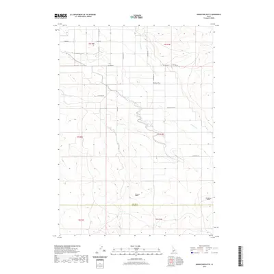 2020 Grindstone Butte2020 Print · USGSElmore County's high desert reveals its ranching and topographical history in the decade before the 2020s. Trace the remote network of roads including Flint Mesa Rd and S Butte Rd as they converge near Grindstone Butte and the Bruneau Desert.
 - 2020 Map of Hammett, 2020 Print
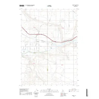 2020 Hammett2020 Print · USGSElmore and Owyhee counties are shown here along the high-desert reach of the Snake River in the early twenty-first century. Researchers can trace the legacy of westward migration along the Old Oregon Trail Hwy and locate landmarks like Schoffs Island and Hammett.
 - 2020 Map of Grand View, 2020 Print
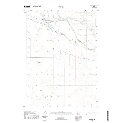 2020 Grand View2020 Print · USGSGrand View and the Owyhee County high desert appear here in the early twenty-first century, centered on the life-giving Snake River. Local researchers can trace the intricate irrigation network of the Shoofly Canal and landmarks like Gold Isle and Twentymile Flat.
 - 2020 Map of C J Strike Dam, 2020 Print
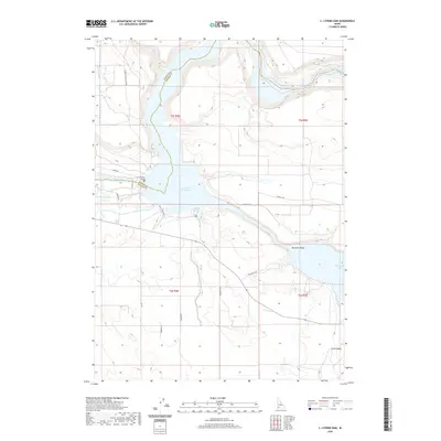 2020 C J Strike Dam2020 Print · USGSSouthwestern Idaho’s desert landscape is transformed by mid-century engineering where the Snake River meets the Bruneau. Researchers can trace the path of the historic Emigrant Trl alongside modern infrastructure like the C J Strike Dam and Shoofly Canal.
 - 2020 Map of Pasadena Valley, 2020 Print
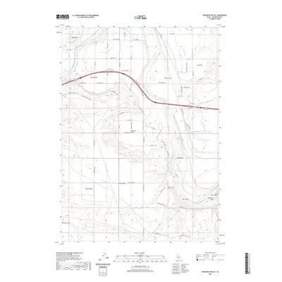 2020 Pasadena Valley2020 Print · USGSElmore County's high desert plateaus and river canyons come into sharp focus in this recent survey. Researchers can trace the intricate irrigation network of the Basin Lateral and Y Canal or locate local landmarks like Bancroft Springs and Black Mesa.
 - 2020 Map of Twentymile Butte, 2020 Print
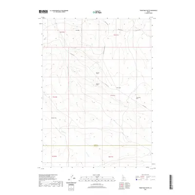 2020 Twentymile Butte2020 Print · USGSElmore and Owyhee Counties are shown here at the edge of the desert during the early twenty-first century. Researchers can trace remote transit routes and drainage patterns through landmarks such as Twentymile Butte, Flint Mesa, and Deadman Cr.
 - 2020 Map of Pot Hole Canyon, 2020 Print
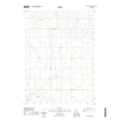 2020 Pot Hole Canyon2020 Print · USGSThe high desert of Elmore County is captured here in recent years, showing a landscape defined by seasonal water and deep rimrock. Trace the path of Pot Hole Canyon or follow the remote tracks of Pothole Rd through the Bruneau Desert.
 - 2020 Map of Indian Butte, 2020 Print
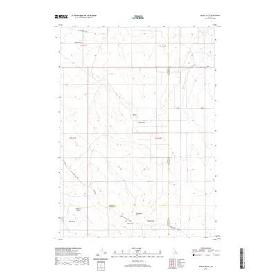 2020 Indian Butte2020 Print · USGSThe high desert south of the Snake River comes into focus in the early 2020s, showing a land of deep gulches and critical water infrastructure. Researchers can trace the path of the Old Oregon Trail Hwy or locate the namesake Indian Butte near the agricultural reaches of the Cassia Canal.
 - 2020 Map of House Mountain, 2020 Print
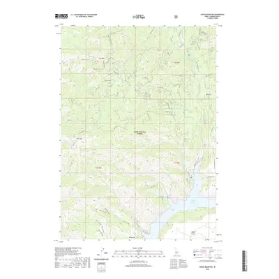 2020 House Mountain2020 Print · USGSElmore County's high forest and reservoir country are captured here in the contemporary era. Researchers can trace remote routes like the Lake Creek Jeep Trail and locate geographic landmarks such as House Mtn and White Flat.
 - 2020 Map of King Hill, 2020 Print
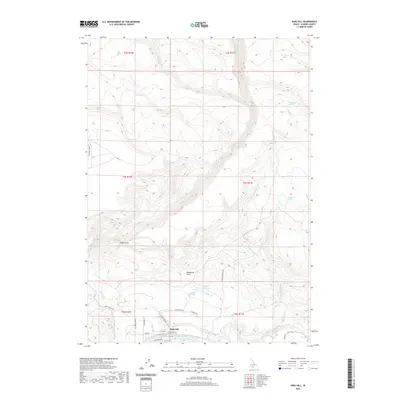 2020 King Hill2020 Print · USGSElmore County life centered on the river and its vital irrigation networks during the early twenty-first century. Researchers can trace land use through the Walker Ditch, locate the small settlement of King Hill, and explore landmarks like Kings Crown or Twin Springs.
 - 2020 Map of Teapot Dome, 2020 Print
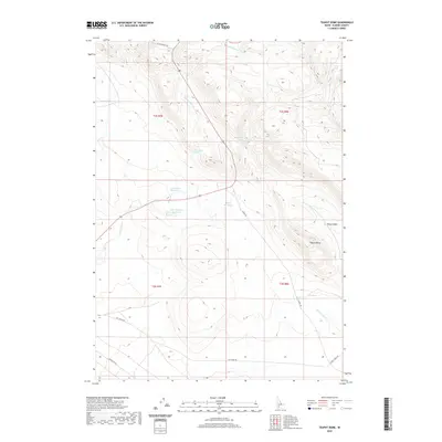 2020 Teapot Dome2020 Print · USGSElmore County's high plains are mapped here at the start of the 2020s, showing a landscape defined by ranching and historic travel routes. Researchers can trace the importance of desert water through features like Frenchman Spring, Lamberton Reservoir, and the NE Immigrant Rd.
 - 2020 Map of Long Tom Reservoir, 2020 Print
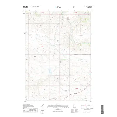 2020 Long Tom Reservoir2020 Print · USGSElmore County’s high-desert and forest transitions are documented here during the modern era of land management. Researchers can trace historic transportation routes such as NE Immigrant Rd and the Long Tom (Dixie Cutoff) near the Long Tom Reservoir.
 - 2020 Map of Hog Creek, 2020 Print
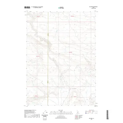 2020 Hog Creek2020 Print · USGSSouthern Idaho ranching and wilderness lands are captured here along the border of Elmore and Gooding counties. Trace the paths of historical travel along Old Clover Creek Rd and locate remote water sources like Dead Horse Spring and Warm Spring.
 - 2020 Map of Hill City, 2020 Print
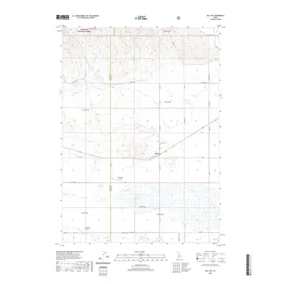 2020 Hill City2020 Print · USGSThe high Idaho ranchlands of the Camas Prairie are captured in this 2020 survey as they transition into the Sawtooth National Forest. Researchers can trace local lineage through the Hill City Cem or map the agricultural layout around Hill City and the Tracy Ranch Airport.
 - 2020 Map of Bennett Mountain, 2020 Print
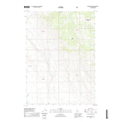 2020 Bennett Mountain2020 Print · USGSElmore County's high-country rangeland is captured here in the contemporary era, showing the transition into the Boise National Forest. Researchers can trace the drainages of Bennett Cr and locate vital backcountry water sources like Teapot Spring and High Spring.
 - 2020 Map of Deer Mountain, 2020 Print
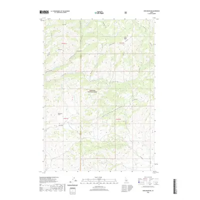 2020 Deer Mountain2020 Print · USGSThe high backcountry of the Elmore and Camas county line is documented here in the early twenty-first century. Outdoor historians can trace an extensive trail system including the Presidents Trail, Roanhide Trail, and landmarks like Cold Spring.
 - 2020 Map of Long Gulch, 2020 Print
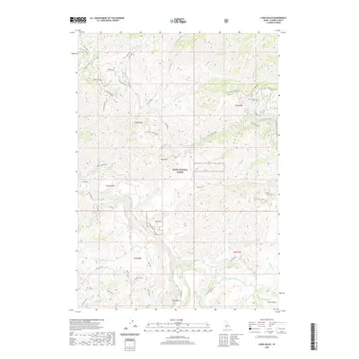 2020 Long Gulch2020 Print · USGSThe Boise National Forest backcountry in Elmore County is documented here during the early twenty-first century. Researchers can trace forest access routes like Rattlesnake Loop and locate features such as Long Gulch and Smith Prairie.
 - 2020 Map of Grouse Butte, 2020 Print
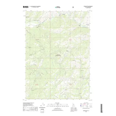 2020 Grouse Butte2020 Print · USGSElmore County's high country remains a wilderness of deep gulches and national forest peaks as seen in this 2020 survey. Researchers can trace the drainage of the South Fork Boise River or navigate backroads like Abbot Jeep Trail and S Fork Boise Rd.
 - 2020 Map of Deer Heaven Mountain, 2020 Print
 2020 Deer Heaven Mountain2020 Print · USGSElmore County's high range is documented here in the early twenty-first century, showing a landscape shaped by vital water sources. Researchers can trace the drainage of King Hill Cr and locate named watering holes like Scrub Spring and Blackhawk Spring.
 - 2020 Map of Sprout Mountain, 2020 Print
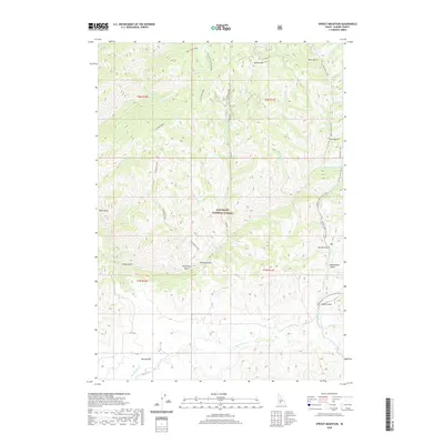 2020 Sprout Mountain2020 Print · USGSElmore County's high forest terrain in the early twenty-first century is defined by a complex network of ridges and watercourses. Researchers can trace remote geographic markers like Moores Flat, Sprout Mtn, and the winding Presidents Trail.
 - 2020 Map of Arrowrock Reservoir NE, 2020 Print
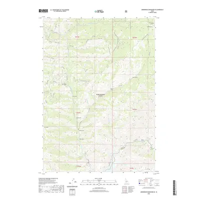 2020 Arrowrock Reservoir NE2020 Print · USGSElmore County's high mountain territory is captured here in the contemporary era, centered on the Boise National Forest. Researchers can trace old mountain routes like Atlanta Road and locate geographical landmarks including Mt Heinen and Thorn Creek Butte.
 - 2020 Map of Bear River, 2020 Print
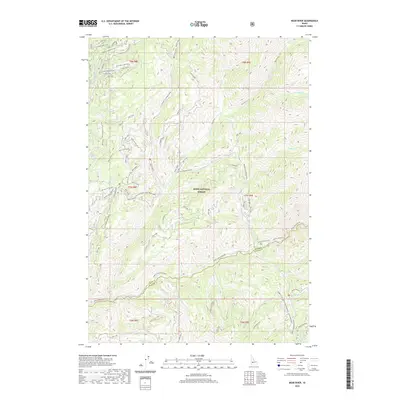 2020 Bear River2020 Print · USGSElmore County's backcountry is documented in the modern era as a rugged convergence of the Bear River and North Fork Boise River. You can trace the complex network of mountain spurs and remote landmarks like Grand Mountain, Jennie Lake, and Swanholm Ridge.
 - 2020 Map of Nahneke Mountain, 2020 Print
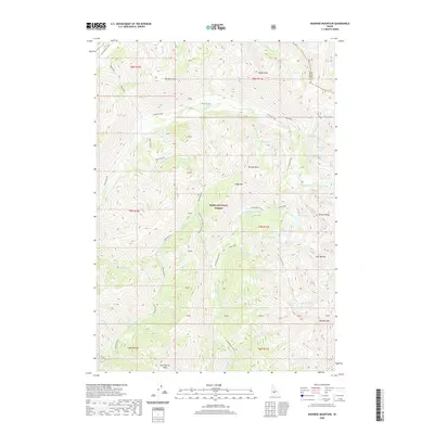 2020 Nahneke Mountain2020 Print · USGSElmore County's high wilderness is surveyed in this contemporary record of the Sawtooth range area. Researchers can trace the complex alpine hydrology from Rock Island Lake to the drainage of the Little Queens River and Black Warrior Cr.
 - 2020 Map of Reverse, 2020 Print
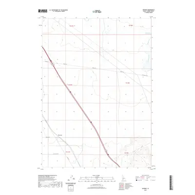 2020 Reverse2020 Print · USGSElmore County’s high desert landscape comes into focus here during the early twenty-first century, where modern infrastructure meets historic migration paths. Researchers can trace the legendary Old Oregon Trail Rd as it cuts past the Reverse settlement and the Hot Springs Cr Reservoir.
 - 2020 Map of Cat Creek Summit, 2020 Print
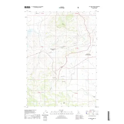 2020 Cat Creek Summit2020 Print · USGSElmore County's high-country ranching and forest lands are documented here in the early twenty-first century. Researchers can trace the path of Old Hwy 68 through High Prairie and locate remote landmarks like the S Bar Ranch Airport and Packer Butte.
Showing maps 1-25 of 157
Top cities of Elmore County
Frequently asked questions
- What are the different types of historical maps available for Elmore County?
- What is the oldest map of Elmore County?
- Where can I purchase historical maps of Elmore County for my home or office?
- Where can I download high-res historical maps of Elmore County?
- Are there historical topographic maps available for Elmore County?
- Is there historical aerial imagery available for Elmore County?
- Where are historical maps of Elmore County sourced from?