2010s Maps of Elmore County, Idaho
Explore 231 historic maps of Elmore County from the 2010s. These maps offer a rare glimpse into what life looked like during the 2010s — showing old roads, neighborhoods, homes, and landmarks that have changed or disappeared over time.
Whether you're researching your family's past, planning a metal detecting trip, or studying how Elmore County's landscape evolved across the 2010s, these high-resolution maps are a powerful tool for exploring the history of this region.
- Focus on a specific era: All maps on this page are from the 2010s, giving you a focused view of this time period.
- See what’s changed: Compare century-old streets, trails, and buildings to today's modern landscape using overlays and satellite layers.
- Research with precision: Use these maps for genealogy, historical research, land use analysis, or educational projects.
- View, download, or print: Maps are fully viewable online in high resolution, and can be downloaded or printed for your own records.
Start exploring Elmore County's history through authentic maps from the 2010s. This is your window into the past.
Elmore County, ID maps
(231)- 2010 Map of Mayfield SW, 2010 Print
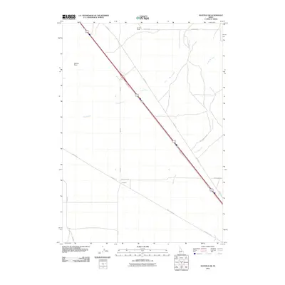 2010 Mayfield SW2010 Print · USGSThe eastern desert of Ada County comes into focus in the early 2000s, showing a landscape defined by transit corridors and wide-open draws. Researchers can trace the path of Old Hwy 30 near Sunnyside or follow the seasonal flows of Bowns Creek and Soles Rest Creek.
 - 2010 Map of King Hill, 2010 Print
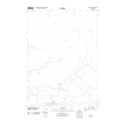 2010 King Hill2010 Print · USGSNear the banks of the Snake River in the early twenty-first century, this Idaho landscape shows a community built around irrigation and livestock. Researchers can trace local water rights and landmarks like Walker Reservoir, Walker Dam, and the evocatively named Devils Playground.
 - 2010 Map of Hot Springs Creek Reservoir, 2010 Print
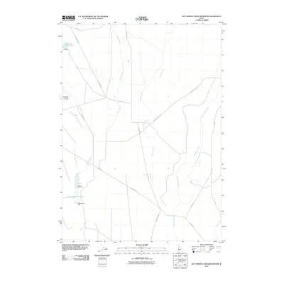 2010 Hot Springs Creek Reservoir2010 Print · USGSElmore County's high desert water infrastructure is captured in detail during the early 21st century. Researchers can trace the path of Bennett Creek and locate specific local landmarks like Hall Dam and Teapot-Upper Dam.
 - 2010 Map of Crater Rings, 2010 Print
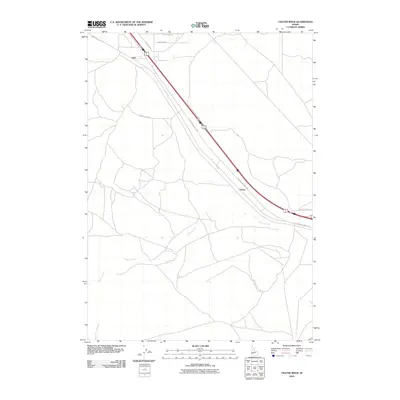 2010 Crater Rings2010 Print · USGSElmore County's high desert reaches are documented here in the early twenty-first century, showing the intersection of historic transit and modern rural life. Researchers can trace the path of the Old Oregon Trail Hwy past the rail-side locales of Cleft and Sebree.
 - 2010 Map of Dempsey Meadows, 2010 Print
 2010 Dempsey Meadows2010 Print · USGSElmore County's high-elevation ranching and grazing lands are detailed here during the late two-thousands. Researchers can trace the drainages of East Dempsey Creek and find specific landmarks like Tub Spring and the open stretch of Dead Horse Flat.
 - 2010 Map of Hog Creek, 2010 Print
 2010 Hog Creek2010 Print · USGSElmore County's high-desert drainage network is documented here during the early twenty-first century. Researchers can trace remote water sources like Dead Horse Spring, follow the path of Hog Creek, and locate travel routes via Clover Creek Rd.
 - 2010 Map of Crater Rings SE, 2010 Print
 2010 Crater Rings SE2010 Print · USGSElmore County, Idaho, is defined by its military and agricultural landscape in the years following the millennium. Genealogists and historians can trace the footprint of Mt Home Air Force Base and find local landmarks such as Mint Farm Rd and Blanksma Rd.
 - 2010 Map of Deer Heaven Mountain, 2010 Print
 2010 Deer Heaven Mountain2010 Print · USGSElmore County's high country is captured here in the early twenty-first century, showing a landscape defined by dramatic drainage divides and mountain summits. Researchers can trace the rugged paths of Deer Heaven Creek, Devils Dive, and Thorn Creek across this high-elevation terrain.
 - 2010 Map of Cinder Cone Butte, 2010 Print
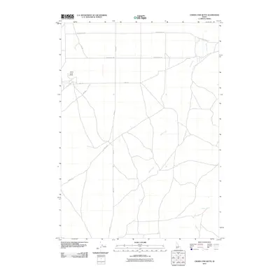 2010 Cinder Cone Butte2010 Print · USGSThe high desert of Ada County is documented here during the early twenty-first century, featuring the prominent landform of Cinder Cone Butte. Researchers can trace the drainage of Squaw Creek and the remote road network including Simco Rd and Moddy Rd.
 - 2010 Map of Morrow Reservoir, 2010 Print
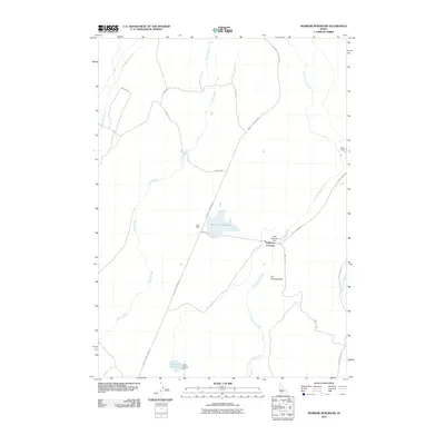 2010 Morrow Reservoir2010 Print · USGSElmore County ranching and water management are front and center in this early 2000s survey of the Idaho high desert. Researchers can trace the layout of essential rural infrastructure like the Trail Diversion Dam, Berry Ranch, and the historic Emigrant Crossing.
 - 2010 Map of Mountain Home South, 2010 Print
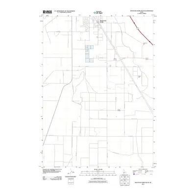 2010 Mountain Home South2010 Print · USGSElmore County agriculture and high desert transit routes define this Idaho landscape just south of the city. Genealogists and historians can trace family-named landmarks like Groefsema Rd and old paths like the Old Mountain City Rd.
 - 2010 Map of Crater Rings SW, 2010 Print
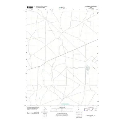 2010 Crater Rings SW2010 Print · USGSThe high desert south of Mountain Home comes into focus during the first decade of the 2000s, showing a landscape shaped by water management and transit. Researchers can trace rural routes like Simco Rd down to the shores of the C J Strike Reservoir or locate the remote Landing Strip.
 - 2010 Map of Teapot Dome, 2010 Print
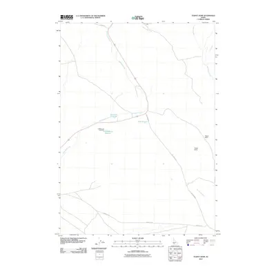 2010 Teapot Dome2010 Print · USGSElmore County's high desert landscape is documented here in the early 2000s, centered on the distinctive Teapot Dome. Researchers can trace the essential water infrastructure of the era, from the Hoffman and Duffy Dam to remote tracks like Tollgate Rd.
 - 2010 Map of Mayfield SE, 2010 Print
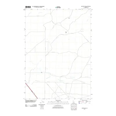 2010 Mayfield SE2010 Print · USGSElmore County rangelands come into focus in this early twenty-first century study of the Idaho high desert. Researchers can trace the intersection of ranching life and aviation at Camas County Airport and family-named sites like Bennett Ranch.
 - 2010 Map of Mountain Home North, 2010 Print
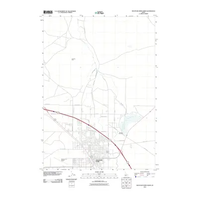 2010 Mountain Home North2010 Print · USGSElmore County's high desert landscape shows a complex web of modern irrigation and transit in the early 2010s. Researchers can trace the path of Canyon Creek and locate local landmarks like Mountain View Cemetery or the Mountain Home Dam.
 - 2010 Map of Twentymile Butte, 2010 Print
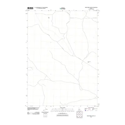 2010 Twentymile Butte2010 Print · USGSElmore County during the early 21st century remains a landscape of open mesas and remote plateaus. Trace the high-desert road network across Flint Mesa and the winding course of Deadman Creek near the landmark of Twentymile Butte.
 - 2010 Map of C J Strike Dam, 2010 Print
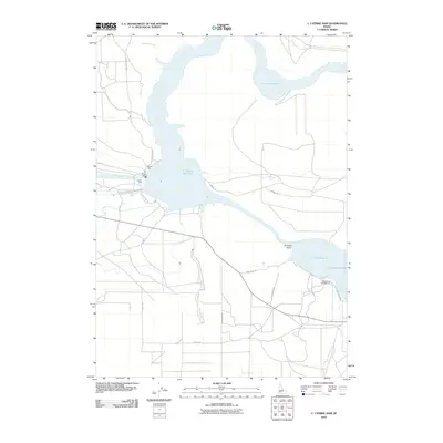 2010 C J Strike Dam2010 Print · USGSElmore County's high-desert irrigation and recreation landscape is well-documented in the early twenty-first century. Researchers can trace the path of the Emigrant Trl as it nears the C J Strike Dam and the expansive Bruneau Valley.
 - 2010 Map of Grindstone Butte, 2010 Print
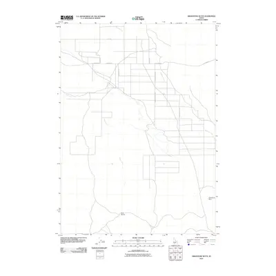 2010 Grindstone Butte2010 Print · USGSElmore County during the early 2000s reveals a high-desert landscape defined by vital water sources and long-established range roads. Researchers can trace the pathways near Grindstone Butte and locate named landmarks like Dove Spring or the length of Sailor Creek.
 - 2010 Map of Glenns Ferry, 2010 Print
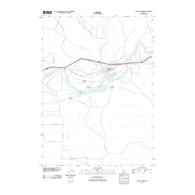 2010 Glenns Ferry2010 Print · USGSGlenns Ferry and the Snake River valley are captured here during the first decade of the millennium. Trace the historic paths of the Old Oregon Trail Rd and the significant river ford at Three Island Crossing.
 - 2010 Map of Pot Hole Canyon, 2010 Print
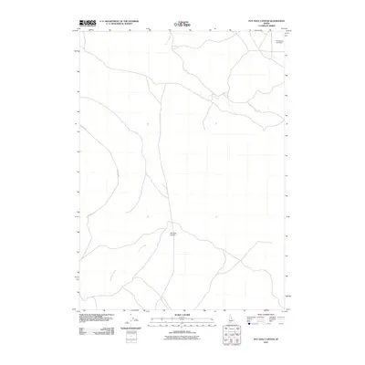 2010 Pot Hole Canyon2010 Print · USGSElmore County's high desert landscape is captured here in the early 21st century, showing a remote region defined by its deep drainages. Researchers can trace the winding course of Pot Hole Creek through Pot Hole Canyon or locate the isolated Grindstone Ag Airport.
 - 2010 Map of Grand View, 2010 Print
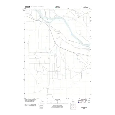 2010 Grand View2010 Print · USGSLife along the Snake River is captured in this 2010 study of Owyhee County, where irrigation systems and ranching define the high-desert landscape. Researchers can trace the water lines of the Low Line Canal or locate local landmarks like Dixie Ranch and Gold Isle.
 - 2010 Map of Indian Cove, 2010 Print
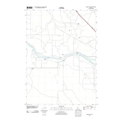 2010 Indian Cove2010 Print · USGSElmore County's river-driven landscape is recorded here in the first decade of the new millennium, centered on the Snake River corridor. Genealogists and local historians can trace family-named routes and landforms like Medbury Hill, Pothole Rd, and Browns Gulch.
 - 2010 Map of Hammett, 2010 Print
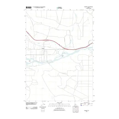 2010 Hammett2010 Print · USGSElmore County agriculture and transit dominate this 2010 Idaho landscape, where irrigation and river history converge. Researchers can trace the legacy of river crossings at Medbury Ferry and follow the route of Old Highway 30 past Hammett.
 - 2010 Map of Ticeska, 2010 Print
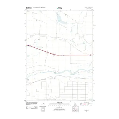 2010 Ticeska2010 Print · USGSThe high desert plateau above the Snake River is shown here in the early twenty-first century, revealing an intricate network of dams and canals. Local researchers can trace water and power infrastructure through Bliss Dam, Ticeska, and the King Hill Main Canal.
 - 2010 Map of Indian Butte, 2010 Print
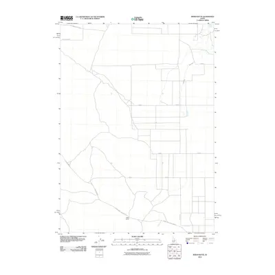 2010 Indian Butte2010 Print · USGSTwin Falls County, Idaho, is depicted in the early 21st century as a landscape of irrigation canals and historic transit routes. Trace the path of the Old Oregon Trail Hwy or locate water sources like Tuana Spring and the Cassia Canal.
Showing maps 1-25 of 231
Top cities of Elmore County
Frequently asked questions
- What are the different types of historical maps available for Elmore County?
- What is the oldest map of Elmore County?
- Where can I purchase historical maps of Elmore County for my home or office?
- Where can I download high-res historical maps of Elmore County?
- Are there historical topographic maps available for Elmore County?
- Is there historical aerial imagery available for Elmore County?
- Where are historical maps of Elmore County sourced from?