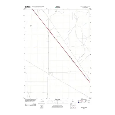
2010 Map of Mayfield SW
USGS Topo · Published 2010About this map
Sunnyside stands as a focal point in this high-desert landscape, situated at the junction of several key regional thoroughfares including Simco Rd and Simco Cutoff Rd. The terrain is defined by a series of intermittent drainage systems, notably Bowns Creek and Soles Rest Creek, which flow toward the southeast. The area is heavily influenced by transportation history, featuring the path of Old Hwy 30 running parallel to the modern interstate corridor. Notable landforms like Smith Draw and McElroy Draw break the open expanse, while the grid of Base Line Rd and E Monroe Ave suggests the organized surveying of this part of the Idaho desert. The map captures a moment in the early 21st century when the infrastructure of the Treasure Valley's eastern fringe remained largely focused on transit and rural access.
Find a feature on this map
15 named features on this map. Tap any name to fly to it.
Don’t see what you’re looking for? This feature index may not catch every label — zoom into the map to look around manually.
Map Details
Editions of this 2010 Mayfield SW Map
This is the sole edition of this map. No revisions or reprints were ever made.
Other maps of this area

1892 · Mountain Home
USGS Topo · 1:125,000

1892 · Bisuka
USGS Topo · 1:125,000

1893 · Mountain Home
USGS Topo · 1:125,000

1894 · Bisuka
USGS Topo · 1:125,000

1948 · Big Foot Butte
USGS Topo · 1:62,500

1948 · Little Joe Butte
USGS Topo · 1:24,000

1949 · Little Joe Butte
USGS Topo · 1:24,000

1955 · Orchard
USGS Topo · 1:24,000

1955 · Hailey
USGS Topo · 1:250,000

1955 · Boise
USGS Topo · 1:250,000