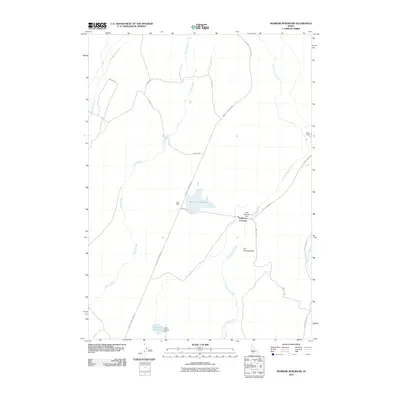
2010 Map of Morrow Reservoir
USGS Topo · Published 2010About this map
Alkali Creek and Little Canyon Creek define the arid drainage patterns of this Elmore County landscape as it appeared in the early 21st century. The map illustrates a network of essential water management features, including the Blair Trail Reservoir and its associated Trail Dam, alongside Morrow Reservoir at the southern boundary. These developments signify the region's reliance on controlled water flow for ranching and agriculture.
Find a feature on this map
20 named features on this map. Tap any name to fly to it.
Don’t see what you’re looking for? This feature index may not catch every label — zoom into the map to look around manually.
Map Details
Editions of this 2010 Morrow Reservoir Map
This is the sole edition of this map. No revisions or reprints were ever made.
Other maps of this area

1892 · Camas Prairie
USGS Topo · 1:125,000

1893 · Camas Prairie
USGS Topo · 1:125,000

1947 · Hammett
USGS Topo · 1:24,000

1947 · Glenns Ferry
USGS Topo · 1:24,000

1947 · Pasadena Valley
USGS Topo · 1:24,000

1948 · Pasadena Valley
USGS Topo · 1:24,000

1948 · Hammett
USGS Topo · 1:24,000

1948 · Glenns Ferry
USGS Topo · 1:24,000

1948 · Glenns Ferry
USGS Topo · 1:62,500

1949 · Pasadena Valley
USGS Topo · 1:62,500