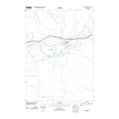
2010 Map of Glenns Ferry
USGS Topo · Published 2010About this map
Three Island Crossing serves as a focal point on the Snake River, marking a historically significant ford used by emigrants. This 2010 survey illustrates the modern landscape of Glenns Ferry, where the river's path is paralleled by modern infrastructure like the Glenns Ferry Municipal Airport and the King Hill Main Canal. The geography is defined by deep incisions such as Deadman Canyon and Rosevear Gulch, which cut through the high desert plains toward the river valley.
Find a feature on this map
37 named features on this map. Tap any name to fly to it.
Don’t see what you’re looking for? This feature index may not catch every label — zoom into the map to look around manually.
Map Details
Editions of this 2010 Glenns Ferry Map
This is the sole edition of this map. No revisions or reprints were ever made.
Other maps of this area

1892 · Camas Prairie
USGS Topo · 1:125,000

1893 · Camas Prairie
USGS Topo · 1:125,000

1947 · Hammett
USGS Topo · 1:24,000

1947 · Glenns Ferry
USGS Topo · 1:24,000

1947 · Pasadena Valley
USGS Topo · 1:24,000

1948 · Pasadena Valley
USGS Topo · 1:24,000

1948 · Hammett
USGS Topo · 1:24,000

1948 · Glenns Ferry
USGS Topo · 1:24,000

1948 · Twentymile Butte
USGS Topo · 1:24,000

1948 · Glenns Ferry
USGS Topo · 1:62,500