Old Maps of Elmore County, Idaho
Explore 159 old maps of Elmore County, spanning from 1891 to today. These high-resolution historic maps reveal how streets, neighborhoods, landmarks, and natural features evolved over time — perfect for genealogy, metal detecting, research, and local history exploration.
What you can do with these maps:
- See how Elmore County changed over time: Compare historical maps to modern-day views to trace roads, homesites, rail lines & more.
- View detailed metadata: Each map includes creators, publishers, year, scale, and archive source.
- Overlay maps with satellite & LiDAR: Visualize the past alongside modern tools to explore terrain & human change.
- Trusted historical sources: Maps sourced from the USGS, Library of Congress, and other archives.
- Access maps your way: View online, download high-res files, or order prints for personal or research use.
Start exploring old maps of Elmore County to uncover forgotten places, hidden landmarks, and the deep history beneath your feet.
Elmore County, ID maps
(159)- 1891 Map of Bear Valley, 1963 Print
 1891 Bear Valley1963 Print · USGSCovers Elmore County, including Grandjean, Custer County, and other nearby areas
 - 1892 Map of Mountain Home
 1892 Mountain Home1892 Print · USGSCovers Elmore County, including Mountain Home, Regina, and other nearby areas
 - 1892 Map of Bisuka
 1892 Bisuka1892 Print · USGSCovers Elmore County, including Kuna, Ada County, and other nearby areas
 - 1892 Map of Camas Prairie
 1892 Camas Prairie1892 Print · USGSCovers Elmore County, including Pine, Gooding County, and other nearby areas
 - 1893 Map of Mountain Home
 1893 Mountain Home1893 Print · USGSCovers Elmore County, including Mountain Home, Regina, and other nearby areas4 unique versions available
 - 1893 Map of Bear Valley
 1893 Bear Valley1893 Print · USGSCovers Elmore County, including Grandjean, Custer County, and other nearby areas5 unique versions available
 - 1893 Map of Camas Prairie
 1893 Camas Prairie1893 Print · USGSCovers Elmore County, including Pine, Gooding County, and other nearby areas4 unique versions available
 - 1894 Map of Bisuka
 1894 Bisuka1894 Print · USGSCovers Elmore County, including Kuna, Ada County, and other nearby areas6 unique versions available
 - 1894 Map of Idaho Basin
 1894 Idaho Basin1894 Print · USGSCovers Elmore County, including Robie Creek, Idaho City, and other nearby areas7 unique versions available
 - 1894 Map of Rocky Bar
 1894 Rocky Bar1894 Print · USGSCovers Elmore County, including Featherville, Atlanta, and other nearby areas5 unique versions available
 - 1900 Map of Sawtooth
 1900 Sawtooth1900 Print · USGSCovers Elmore County, including Cathedral Pines, Easley Hot Springs, and other nearby areas4 unique versions available
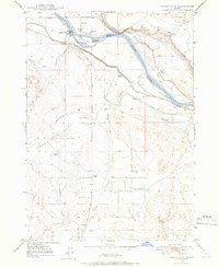
 - 1946 Map of Mouth of Bruneau, 1967 Print
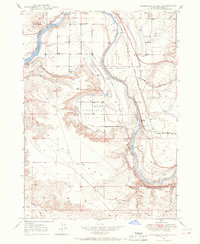
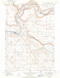 1946 Mouth of Bruneau1967 Print · USGSCovers Elmore County, including Owyhee County, United States, and other nearby areas3 unique versions available
 - 1947 Map of Grand View, 1952 Print
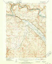
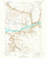
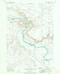
 1947 Grand View1952 Print · USGSCovers Elmore County, including Grand View, Owyhee County, and other nearby areas2 unique versions available
 - 1947 Map of Bruneau, 1952 Print
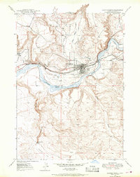
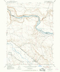
 1947 Bruneau1952 Print · USGSCovers Elmore County, including Bruneau, Owyhee County, and other nearby areas2 unique versions available
 - 1947 Map of Indian Cove, 1963 Print
 1947 Indian Cove1963 Print · USGSCovers Elmore County, including Owyhee County, United States, and other nearby areas4 unique versions available
 - 1947 Map of Grand View, 1966 Print
 1947 Grand View1966 Print · USGSCovers Elmore County, including Grand View, Owyhee County, and other nearby areas3 unique versions available
 - 1947 Map of Hammett, 1966 Print
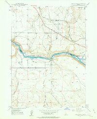
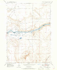
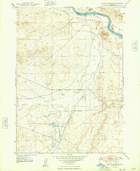
 1947 Hammett1966 Print · USGSCovers Elmore County, including Hammett, Owyhee County, and other nearby areas2 unique versions available
 - 1947 Map of Sand Dunes, 1966 Print
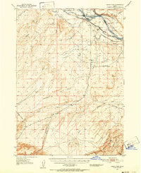
 1947 Sand Dunes1966 Print · USGSCovers Elmore County, including Owyhee County, United States, and other nearby areas4 unique versions available
 - 1947 Map of Glenns Ferry, 1968 Print
 1947 Glenns Ferry1968 Print · USGSCovers Elmore County, including Glenns Ferry, United States, and other nearby areas2 unique versions available
 - 1947 Map of Pasadena Valley, 1968 Print
 1947 Pasadena Valley1968 Print · USGSCovers Elmore County, including United States, Idaho, and other nearby areas2 unique versions available
 - 1947 Map of Bruneau, 1968 Print
 1947 Bruneau1968 Print · USGSCovers Elmore County, including Bruneau, Owyhee County, and other nearby areas3 unique versions available
 - 1947 Map of Jackass Butte, 1971 Print
 1947 Jackass Butte1971 Print · USGSCovers Elmore County, including Ada County, Owyhee County, and other nearby areas2 unique versions available
 - 1947 Map of Dorsey Butte, 1979 Print
 1947 Dorsey Butte1979 Print · USGSCovers Elmore County, including Ada County, Owyhee County, and other nearby areas
 - 1948 Map of Castle Butte
 1948 Castle Butte1948 Print · USGSCovers Elmore County, including Ada County, Owyhee County, and other nearby areas2 unique versions available
 - 1948 Map of Pasadena Valley
 1948 Pasadena Valley1948 Print · USGSCovers Elmore County, including United States, Idaho, and other nearby areas
Showing maps 1-25 of 159
Top cities of Elmore County
Frequently asked questions
- What are the different types of historical maps available for Elmore County?
- What is the oldest map of Elmore County?
- Where can I purchase historical maps of Elmore County for my home or office?
- Where can I download high-res historical maps of Elmore County?
- Are there historical topographic maps available for Elmore County?
- Is there historical aerial imagery available for Elmore County?
- Where are historical maps of Elmore County sourced from?