1960s Maps of Jefferson County, Idaho
Explore 20 historic maps of Jefferson County from the 1960s. These maps offer a rare glimpse into what life looked like during the 1960s — showing old roads, neighborhoods, homes, and landmarks that have changed or disappeared over time.
Whether you're researching your family's past, planning a metal detecting trip, or studying how Jefferson County's landscape evolved across the 1960s, these high-resolution maps are a powerful tool for exploring the history of this region.
- Focus on a specific era: All maps on this page are from the 1960s, giving you a focused view of this time period.
- See what’s changed: Compare century-old streets, trails, and buildings to today's modern landscape using overlays and satellite layers.
- Research with precision: Use these maps for genealogy, historical research, land use analysis, or educational projects.
- View, download, or print: Maps are fully viewable online in high resolution, and can be downloaded or printed for your own records.
Start exploring Jefferson County's history through authentic maps from the 1960s. This is your window into the past.
Jefferson County, ID maps
(20)- 1962 Map of Driggs
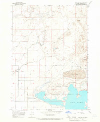
 1962 Driggs1962 Print · USGSThe Idaho-Wyoming borderlands are captured here in the early sixties, showing the peaks and valleys of the northern Rockies. Genealogists and historians can trace rail lines like the Union Pacific RR and isolated outposts like the National Elk Refuge or the Fort Hall Indian Reservation.
 - 1964 Map of Kettle Butte NE, 1965 Print
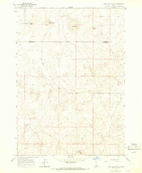
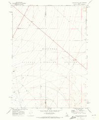
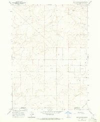 1964 Kettle Butte NE1965 Print · USGSJefferson and Bonneville Counties meet in this high-desert Idaho survey from the mid-sixties, an era of expanding water infrastructure. Researchers can trace early ranching and water management through numerous sites like Well 4898 and the Kettle Butte Drain.2 unique versions available
 - 1964 Map of Kettle Butte NW, 1965 Print
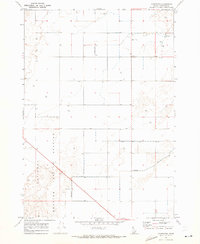
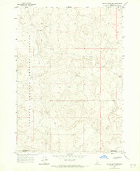 1964 Kettle Butte NW1965 Print · USGSSoutheastern Idaho's desert landscape was dominated by atomic research in the mid-1960s. Researchers can trace the sprawling boundaries of the National Reactor Testing Station across the line between Jefferson Co and Bonneville Co.2 unique versions available
 - 1964 Map of Terreton, 1965 Print
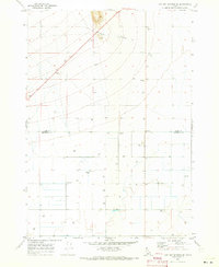
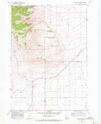
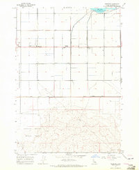 1964 Terreton1965 Print · USGSJefferson County during the mid-1960s shows a unique intersection of desert agriculture and federal research. Genealogists and historians can trace the irrigation networks of the Owsley Canal and early local settlements like Terreton and Terre.
 - 1964 Map of Market Lake, 1965 Print
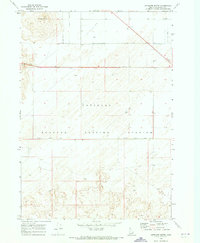
 1964 Market Lake1965 Print · USGSThe Jefferson County high desert in the mid-1960s reveals a landscape defined by critical water management and transport hubs. Researchers can trace the legacy of the Union Pacific through Sage Junction and explore the historic extent of the Market Lake wetlands.
 - 1964 Map of Deer Parks, 1965 Print
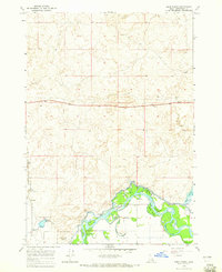 1964 Deer Parks1965 Print · USGSThe Snake River floodplain in the mid-1960s reveals a complex landscape of islands and irrigation. Researchers can trace the path of the Union Pacific railroad or locate features like Kellers Island and the Market Lake Canal.2 unique versions available
 - 1964 Map of Cedar Butte SW, 1965 Print
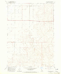
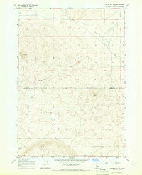
 1964 Cedar Butte SW1965 Print · USGSRanchlands and high-desert water sources define this Idaho landscape in the mid-sixties. Researchers can trace the path of Medicine Lodge Creek and locate several scattered Well and Wells across the Clark Co and Jefferson Co line.
 - 1964 Map of Mud Lake SE, 1966 Print
 1964 Mud Lake SE1966 Print · USGSJefferson County’s high desert landscape was being actively shaped by irrigation and utility expansion during the mid-1960s. Genealogists and historians can trace property and infrastructure at the Pumping Station, Owsley Canal, and Jackett Holly.
 - 1964 Map of Hamer, 1966 Print
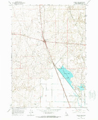
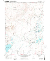
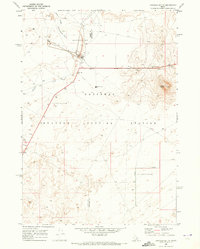
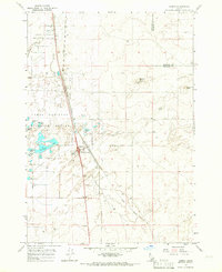 1964 Hamer1966 Print · USGSHamer thrived as a transportation and irrigation hub in eastern Idaho during the mid-1960s. Genealogists and local historians can trace the town's development along the Union Pacific tracks and explore the wetlands of the Camas National Wildlife Refuge.2 unique versions available
 - 1964 Map of Mud Lake NW, 1966 Print
 1964 Mud Lake NW1966 Print · USGSJefferson County ranchlands and wetlands are captured in the mid-1960s, showing a landscape defined by desert irrigation and seasonal basins. Researchers can trace early water rights and land use via the Jefferson Canal, Sanders Well, and the North Lake State Wildlife Management Area.
 - 1964 Map of Camas, 1966 Print
 1964 Camas1966 Print · USGSEastern Idaho's high-desert landscape comes into focus in the mid-1960s as a vital railroad and water corridor. Genealogists and historians can trace the Union Pacific line through Jones Crossing and locate early landmarks like the Cem and Gaging Station near the creek.2 unique versions available
 - 1964 Map of Rays Lake, 1966 Print
 1964 Rays Lake1966 Print · USGSThe high-desert wetlands of Jefferson County are captured here in the mid-1960s, showing a critical intersection of wildlife conservation and desert irrigation. Researchers can trace historic water infrastructure like the Independent Ditch alongside landmarks like the Refuge Headquarters and Holly Wells.2 unique versions available
 - 1964 Map of Cedar Butte SE, 1966 Print
 1964 Cedar Butte SE1966 Print · USGSThe high desert border of Clark and Jefferson Counties is captured here in the mid-1960s, showing a landscape of volcanic buttes and vital water infrastructure. Researchers can locate the Jones Cem, trace the path of Beaver Creek, and identify remote landmarks like the Landing Strip.
 - 1964 Map of Sage Junction NE, 1966 Print
 1964 Sage Junction NE1966 Print · USGSThe volcanic plains of eastern Idaho are captured here in the early sixties, showing the transition from the Snake River Plain toward the northern highlands. Trace the primitive routes through Big Grassy Butte and Gerber Butte where lonely wells and a Jeep Trail mark the high desert.2 unique versions available
 - 1969 Map of Lidy Hot Springs SE, 1973 Print
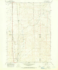
 1969 Lidy Hot Springs SE1973 Print · USGSThe Clark and Jefferson county line marks this high Idaho rangeland in the late sixties, where agricultural expansion meets the desert. Researchers can trace land development through infrastructure like the Substation, Storage Bins, and the path of Warm Springs Creek.
 - 1969 Map of Antelope Butte, 1973 Print
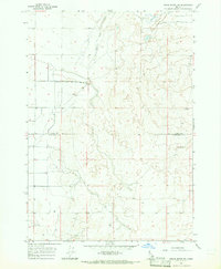
 1969 Antelope Butte1973 Print · USGSIn the Idaho high desert during the late sixties, this survey captures a remote landscape dominated by federal research and irrigation. Researchers can trace the boundaries of the National Reactor Testing Station and locate features like Antelope Butte and the Jefferson Canal.
 - 1969 Map of Circular Butte, 1973 Print
 1969 Circular Butte1973 Print · USGSThe high Idaho desert in the late sixties reveals a unique landscape of atomic research and geological formations. Trace the boundaries of the National Reactor Testing Station alongside features like Circular Butte and the Birch Creek Sinks.
 - 1969 Map of Circular Butte NW, 1973 Print
 1969 Circular Butte NW1973 Print · USGSThe high desert of eastern Idaho was undergoing a period of specialized development in the late sixties as scientific testing expanded. Researchers can trace the boundaries of the National Reactor Testing Station and locate early infrastructure like Birch Creek and the Gravel Pit.
 - 1969 Map of Monteview, 1973 Print
 1969 Monteview1973 Print · USGSJefferson County during the late sixties shows a landscape defined by industrial science and desert agriculture. Researchers can trace the boundaries of the National Reactor Testing Station and the irrigation network of the North Lake Canal near Monteview.
 - 1969 Map of Snaky Canyon, 1973 Print
 1969 Snaky Canyon1973 Print · USGSEastern Idaho at the end of the sixties reveals a landscape where wilderness meets Cold War era science at the edge of the desert. Genealogists and historians can trace the grounds of the Reno Ranch or follow paths through Juniper Gulch and Rattlesnake Point.2 unique versions available
End of results
Showing maps 1-20 of 20
Top cities of Jefferson County
- Rigby historical maps
- Menan historical maps
- Roberts historical maps
- Ririe historical maps
- Lewisville historical maps
- Mud Lake historical maps
Frequently asked questions
- What are the different types of historical maps available for Jefferson County?
- What is the oldest map of Jefferson County?
- Where can I purchase historical maps of Jefferson County for my home or office?
- Where can I download high-res historical maps of Jefferson County?
- Are there historical topographic maps available for Jefferson County?
- Is there historical aerial imagery available for Jefferson County?
- Where are historical maps of Jefferson County sourced from?