2010s Maps of Jefferson County, Idaho
Explore 87 historic maps of Jefferson County from the 2010s. These maps offer a rare glimpse into what life looked like during the 2010s — showing old roads, neighborhoods, homes, and landmarks that have changed or disappeared over time.
Whether you're researching your family's past, planning a metal detecting trip, or studying how Jefferson County's landscape evolved across the 2010s, these high-resolution maps are a powerful tool for exploring the history of this region.
- Focus on a specific era: All maps on this page are from the 2010s, giving you a focused view of this time period.
- See what’s changed: Compare century-old streets, trails, and buildings to today's modern landscape using overlays and satellite layers.
- Research with precision: Use these maps for genealogy, historical research, land use analysis, or educational projects.
- View, download, or print: Maps are fully viewable online in high resolution, and can be downloaded or printed for your own records.
Start exploring Jefferson County's history through authentic maps from the 2010s. This is your window into the past.
Jefferson County, ID maps
(87)- 2010 Map of Little Butte NW, 2010 Print
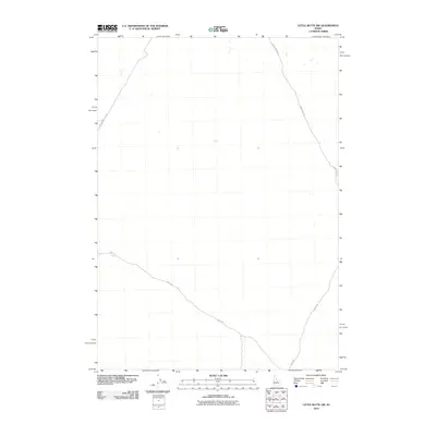 2010 Little Butte NW2010 Print · USGSBingham County's expansive desert landscape is revealed in the early twenty-first century, showing a remote network of range roads. Researchers can trace the paths of Birch Creek Rd, Shell Rd, and E Monument Line Rd through this quiet Idaho terrain.
 - 2010 Map of Kettle Butte NE, 2010 Print
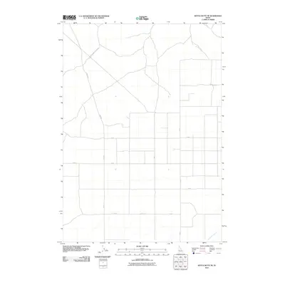 2010 Kettle Butte NE2010 Print · USGSBonneville County, Idaho, is depicted here in the early twenty-first century as a landscape defined by an orderly grid of rural roads and water management. You can trace local travel routes along Twin Butte Sage Junction Rd and locate the path of the Kettle Butte Drain.
 - 2010 Map of Kettle Butte NW, 2010 Print
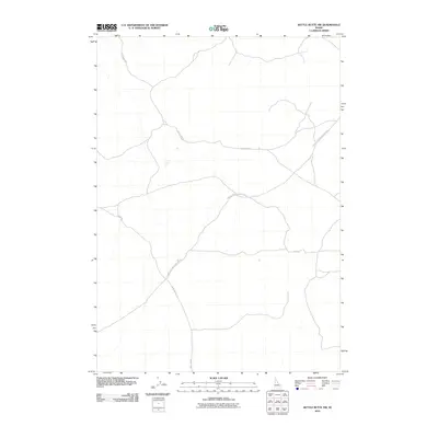 2010 Kettle Butte NW2010 Print · USGSIn the Idaho high desert of the 2010s, this survey documents the vital transit network across the sagebrush plains. Trace the intersection of long-distance ranching routes like Twin Butte Sage Junction Rd, Little Burn Rd, and Mud Lake Rd.
 - 2010 Map of Monteview, 2010 Print
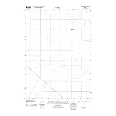 2010 Monteview2010 Print · USGSMonteview and the surrounding Idaho plains are shown during a period of established irrigation and agricultural organization. Genealogists and local researchers can trace the reach of the North Lake Canal and the paths of rural routes like E Monument Line Rd.
 - 2010 Map of Mud Lake SE, 2010 Print
 2010 Mud Lake SE2010 Print · USGSJefferson County at the start of the 2010s reveals a landscape shaped by irrigation and long-distance desert routes. Researchers can trace the path of the Jackett Canal or navigate regional transit via Mud Lake Rd and Twin Butte Sage Junction Rd.
 - 2010 Map of Terreton, 2010 Print
 2010 Terreton2010 Print · USGSThe high-desert farming communities of eastern Idaho are captured here just after the turn of the millennium. Genealogists and local historians can trace the water-rights history and rural infrastructure through the Owsley Canal, Mud Lake Dam, and Mud Lake Airport.
 - 2010 Map of Circular Butte NW, 2010 Print
 2010 Circular Butte NW2010 Print · USGSJefferson County’s high desert landscape appears in the years following the turn of the millennium, showing a region defined by its isolated water sources and long-haul desert roads. Trace the course of Birch Creek or the long desert stretches of Cutoff Rd and E 2300 N.
 - 2010 Map of Market Lake, 2010 Print
 2010 Market Lake2010 Print · USGSIn the early twenty-first century, this Idaho landscape shows the intersection of modern transit and agricultural heritage. Researchers can trace the water systems of the Robison Canal and local settlements like Sage Junction and Hawgood.
 - 2010 Map of Roberts, 2010 Print
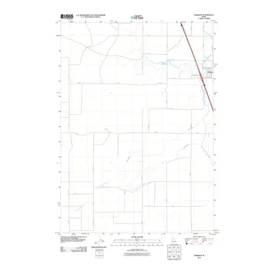 2010 Roberts2010 Print · USGSJefferson County agricultural lands near the Snake River are captured here at the start of the decade. Genealogists and local historians can trace the irrigation history of Roberts through features like Butte Market Lake Canal and Taylor Slough.
 - 2010 Map of Market Lake NE, 2010 Print
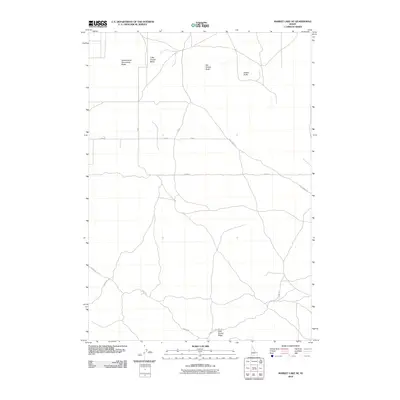 2010 Market Lake NE2010 Print · USGSThe high desert of Jefferson County comes into focus in the early twenty-first century, showing a landscape defined by volcanic landmarks and rural roads. Trace the paths of Hamer Rd and Hawgood Crossing Rd past Big Grassy Butte and Gerber Butte.
 - 2010 Map of Deer Parks, 2010 Print
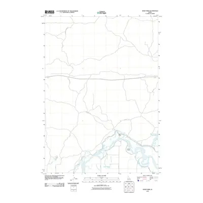 2010 Deer Parks2010 Print · USGSJefferson County agricultural land and the winding Snake River are documented here in the early twenty-first century. Researchers can trace irrigation history through the Butte Market Lake Canal and locate local landmarks like Kellers Island and Deer Parks.
 - 2010 Map of Lidy Hot Springs SE, 2010 Print
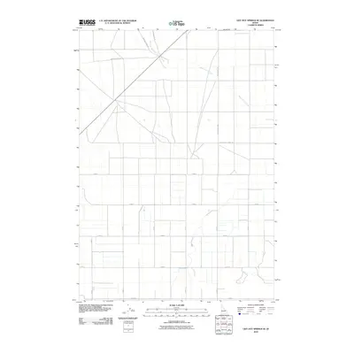 2010 Lidy Hot Springs SE2010 Print · USGSJefferson County agricultural land at the start of the 21st century reveals a landscape shaped by both modern irrigation and historic corridors. Researchers can trace the path of the Emigrant Trail Rd as it cuts across the section lines near Warm Springs Creek and Snaky Canyon Rd.
 - 2010 Map of Cedar Butte SW, 2010 Print
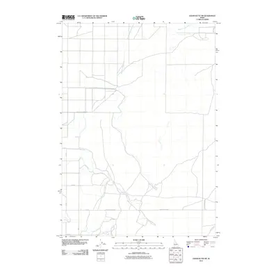 2010 Cedar Butte SW2010 Print · USGSJefferson County agricultural lands are documented here during the transition to modern digital mapping. Trace the rural road network along Medicine Lodge Creek and identify landmarks like South Slope Farms Rd and Jefferson Rd.
 - 2010 Map of Circular Butte, 2010 Print
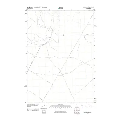 2010 Circular Butte2010 Print · USGSJefferson County's high desert landscape is captured here in the early 2000s, showing a grid of named roads crossing the volcanic plain. Researchers can trace the path of Birch Creek into the Birch Creek Sinks or locate the namesake Circular Butte.
 - 2010 Map of Cedar Butte, 2010 Print
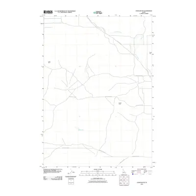 2010 Cedar Butte2010 Print · USGSJefferson County’s volcanic landscape is captured here in the early twenty-first century, showing the isolated rises of the Snake River Plain. Trace the course of Beaver Creek as it winds past Dutch Flat and the prominent Camas Butte.
 - 2010 Map of Camas, 2010 Print
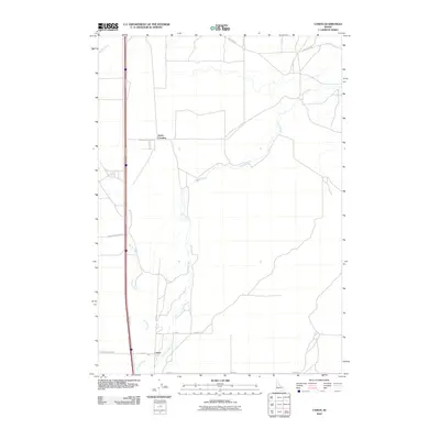 2010 Camas2010 Print · USGSCamas and the surrounding high-desert plains are captured in this 2010 survey at the junction of critical waterways and historic roads. Genealogists and historians can trace legacy transport routes like Old Hwy 91 and early settlements like Camas and Jones Crossing.
 - 2010 Map of Rays Lake, 2010 Print
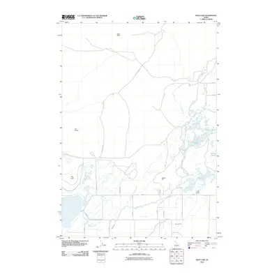 2010 Rays Lake2010 Print · USGSJefferson County’s wetlands and water infrastructure are captured here in the early twenty-first century. Researchers can trace the irrigation network from Rays Lake Pump through the Holly Canal and find landmarks like Table Butte.
 - 2010 Map of Antelope Butte, 2010 Print
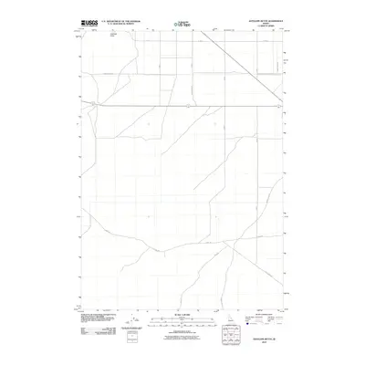 2010 Antelope Butte2010 Print · USGSJefferson County agricultural land and irrigation networks are documented in the early twenty-first century. Researchers can trace the path of the Comstock Canal and locate rural landmarks like Antelope Butte and Schwendig Rd.
 - 2010 Map of Little Butte SW, 2010 Print
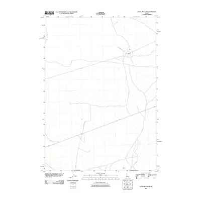 2010 Little Butte SW2010 Print · USGSThe high desert of Bingham County, Idaho, is captured here in the early 2000s, showcasing a landscape of vast volcanic features and rural outposts. Researchers can trace the layout of Argonne West or follow the paths of Stage Rd and Twin Buttes Rd toward the landmark of East Butte.
 - 2010 Map of Mud Lake NW, 2010 Print
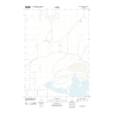 2010 Mud Lake NW2010 Print · USGSJefferson County’s high-desert landscape is defined by the vital irrigation networks of the early twenty-first century. Genealogists and local historians can trace the paths of the Owsley Canal, Jefferson Reservoir, and the northern edge of Mud Lake.
 - 2010 Map of Hamer, 2010 Print
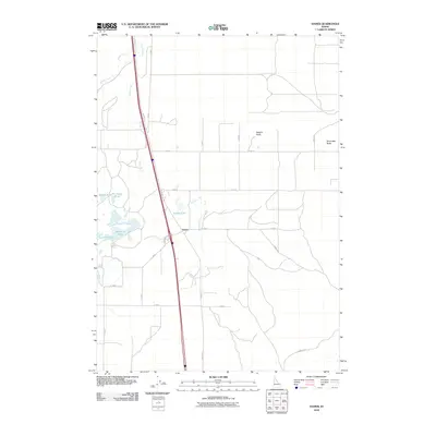 2010 Hamer2010 Print · USGSHamer and the volcanic plains of Jefferson County are captured here just after the turn of the millennium. Researchers can trace historic road alignments like N Old Butte Hwy and local water features including Rat Farm Pond and Hamer Lake.
 - 2010 Map of Little Butte NE, 2010 Print
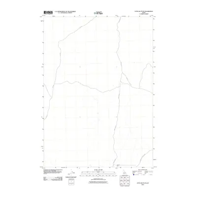 2010 Little Butte NE2010 Print · USGSBonneville County’s rural high desert is documented in 2010, showing the functional infrastructure of this open Idaho landscape. Researchers can trace the paths of W Mud Lake Rd and Sheep Rd as they converge near the distinctive Tractor Flat.
 - 2010 Map of Lewisville, 2010 Print
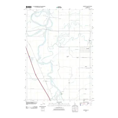 2010 Lewisville2010 Print · USGSEastern Idaho's irrigation history is on full display in this 2010 survey of the settlements north of Idaho Falls. Local researchers can trace family landmarks like Lewisville Cemetery or follow the intricate paths of the Idaho Canal and Butte Market Lake Canal.
 - 2010 Map of Menan Buttes, 2010 Print
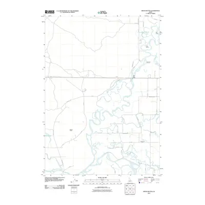 2010 Menan Buttes2010 Print · USGSMadison County, Idaho, is depicted in the early 21st century as a landscape defined by the confluence of the Snake River and Henrys Fork. Researchers can trace irrigation history through the Liberty Park Canal or locate local landmarks like the Beaver Dick Cemetery and Independence School.
 - 2010 Map of Rigby, 2010 Print
 2010 Rigby2010 Print · USGSThe Upper Snake River Plain in the early 21st century remains defined by its complex irrigation network and agricultural settlements. Researchers can trace the paths of the Burgess Canal and Scotts Slough while locating family sites near Rigby, Annis, and Garfield.
Showing maps 1-25 of 87
Top cities of Jefferson County
- Rigby historical maps
- Menan historical maps
- Roberts historical maps
- Ririe historical maps
- Lewisville historical maps
- Mud Lake historical maps
Frequently asked questions
- What are the different types of historical maps available for Jefferson County?
- What is the oldest map of Jefferson County?
- Where can I purchase historical maps of Jefferson County for my home or office?
- Where can I download high-res historical maps of Jefferson County?
- Are there historical topographic maps available for Jefferson County?
- Is there historical aerial imagery available for Jefferson County?
- Where are historical maps of Jefferson County sourced from?