2020s Maps of Jefferson County, Idaho
Explore 58 historic maps of Jefferson County from the 2020s. These maps offer a rare glimpse into what life looked like during the 2020s — showing old roads, neighborhoods, homes, and landmarks that have changed or disappeared over time.
Whether you're researching your family's past, planning a metal detecting trip, or studying how Jefferson County's landscape evolved across the 2020s, these high-resolution maps are a powerful tool for exploring the history of this region.
- Focus on a specific era: All maps on this page are from the 2020s, giving you a focused view of this time period.
- See what’s changed: Compare century-old streets, trails, and buildings to today's modern landscape using overlays and satellite layers.
- Research with precision: Use these maps for genealogy, historical research, land use analysis, or educational projects.
- View, download, or print: Maps are fully viewable online in high resolution, and can be downloaded or printed for your own records.
Start exploring Jefferson County's history through authentic maps from the 2020s. This is your window into the past.
Jefferson County, ID maps
(58)- 2020 Map of Rays Lake, 2020 Print
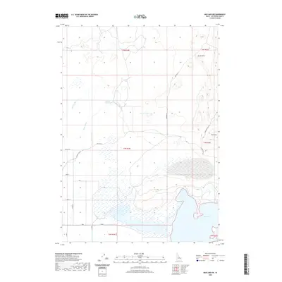
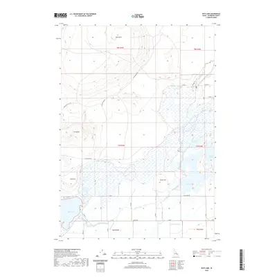 2020 Rays Lake2020 Print · USGSJefferson County wetlands and volcanic buttes are documented here in the contemporary era. Researchers can trace the intricate irrigation network of the Independent Ditch and Holly Canal alongside natural landmarks like Table Butte and Rays Lake.
 - 2020 Map of Little Butte NE, 2020 Print
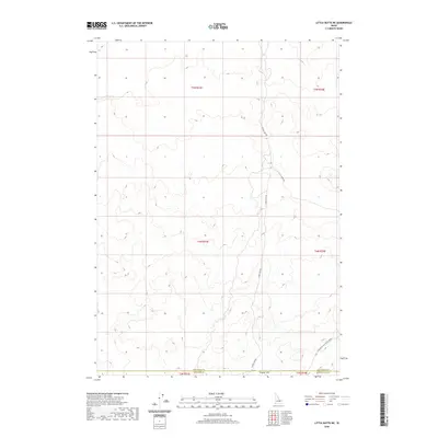 2020 Little Butte NE2020 Print · USGSThe open High Desert of eastern Idaho is captured in the modern era, showing the remote intersection of three county lines. Researchers can trace the sparse access routes through the landscape, including W Mud Lake Rd and the plains of Tractor Flat.
 - 2020 Map of Market Lake, 2020 Print
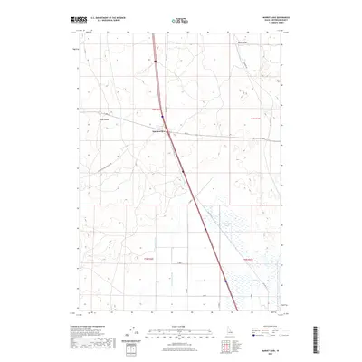 2020 Market Lake2020 Print · USGSJefferson County agricultural and transit networks are documented here during the early twenty-first century. Researchers can trace the legacy of regional water management through the Robison Canal and find local landmarks like Mollys Nipple and Hawgood.
 - 2020 Map of Hamer, 2020 Print
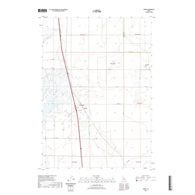 2020 Hamer2020 Print · USGSThe rural landscape of Jefferson County is captured here in the contemporary era, centered on the settlement of Hamer. Researchers can trace irrigation and land use through Hamer Ditch, Sandhole Lake, and the uniquely named Rat Farm Pond.
 - 2020 Map of Terreton, 2020 Print
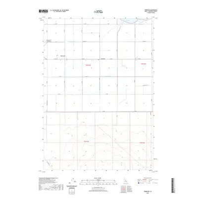 2020 Terreton2020 Print · USGSJefferson County's high-desert farming communities are captured here in the modern era. Genealogists and local historians can trace irrigation developments and family-named routes like Burtenshaw Rd, Siddoway Rd, and the vital Crystal Lake Canal.
 - 2020 Map of Kettle Butte NE, 2020 Print
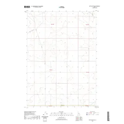 2020 Kettle Butte NE2020 Print · USGSThe high-desert terrain along the border of Bonneville and Jefferson counties is captured here in the early twenty-first century. Researchers can trace land divisions and local water management features such as the Kettle Butte Drain and the path of Cinder Rd.
 - 2020 Map of Antelope Butte, 2020 Print
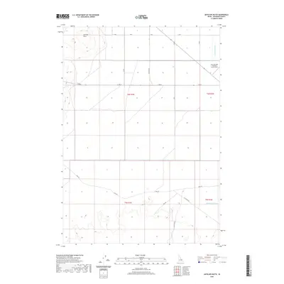 2020 Antelope Butte2020 Print · USGSJefferson County’s agricultural high desert is captured here in the modern era, showing a landscape shaped by irrigation and aviation. Researchers can trace the path of the Crystal Lake Canal or locate local landmarks like Antelope Butte and the Mud Lake/West Jefferson County Airport.
 - 2020 Map of Deer Parks, 2020 Print
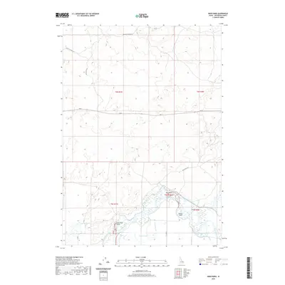 2020 Deer Parks2020 Print · USGSJefferson County’s riverbottom lands are captured here in the late twenty-teens, showing the intricate intersection of the Snake River and its irrigation network. Researchers can trace the water’s path around Kellers Island and through the managed wetlands of Deer Parks.
 - 2020 Map of Mud Lake SE, 2020 Print
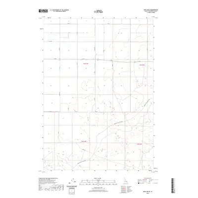 2020 Mud Lake SE2020 Print · USGSJefferson County ranchlands are documented here in the early twenty-first century, showing the intersection of vital irrigation and regional transit. Genealogists can trace family-named routes like Koefoed Rd and Linderman Rd near the vital Holly Canal.
 - 2020 Map of Market Lake NE, 2020 Print
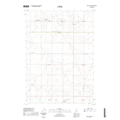 2020 Market Lake NE2020 Print · USGSJefferson County's high desert terrain is captured here in the early twenty-first century, showing a landscape defined by volcanic rises and section roads. Trace the paths of Egin-Hamer Rd and Hawgood Crossing Rd past Gerber Butte.
 - 2020 Map of Little Butte NW, 2020 Print
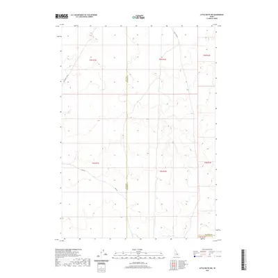 2020 Little Butte NW2020 Print · USGSThe high desert of southeastern Idaho is mapped here at the turn of the decade, showing where three counties meet. Researchers can trace the path of E Monument Line Rd and Shell Rd as they navigate the border of T4N R31E.
 - 2020 Map of Plano, 2020 Print
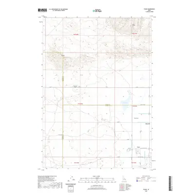 2020 Plano2020 Print · USGSThe high plains of Madison County and the Egin Bench are captured here in 2020, revealing the modern footprint of early settlement sites. Genealogists and local historians can trace landmarks like Plano, Edmonds, and the Plano Cem amidst a complex network of irrigation through the Saint-Anthony-Union-Canal.
 - 2020 Map of Circular Butte NW, 2020 Print
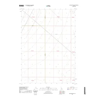 2020 Circular Butte NW2020 Print · USGSJefferson County's high-desert frontier is documented here in the early twenty-first century as it spans three county lines. Researchers can trace the path of Wadsworth Rd and the drainage of Birch Cr across the transition from Butte to Clark County.
 - 2020 Map of Kettle Butte NW, 2020 Print
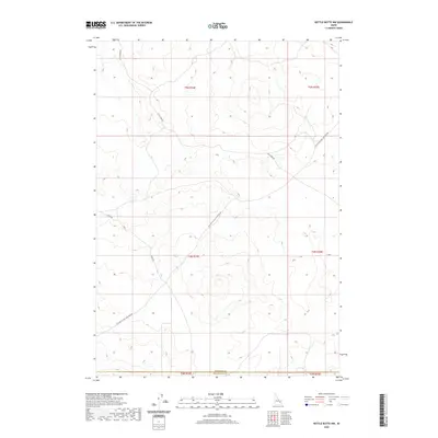 2020 Kettle Butte NW2020 Print · USGSThe high desert plains of the Idaho Snake River region are mapped here in the early twenty-first century. Genealogists and historians can trace the precise boundaries between Jefferson Co and Bonneville Co along Twin Butte Sage Junction Rd.
 - 2020 Map of Roberts, 2020 Print
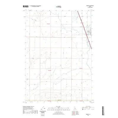 2020 Roberts2020 Print · USGSThe rural agricultural corridor of Jefferson County comes into focus in this recent survey of Roberts. Genealogists and local historians can trace the network of vital waterways like Butte Market Lake Canal and Taylor Slough that have shaped this high-desert farming community.
 - 2020 Map of Monteview, 2020 Print
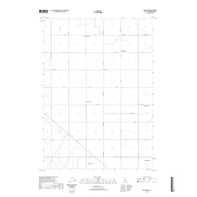 2020 Monteview2020 Print · USGSJefferson County farming life is captured here in the 2020s, centered on the settlement of Monteview. Researchers can trace the essential water routes of the North Lake Canal and McKevitt Ditch alongside rural roads like Schwendig Rd.
 - 2020 Map of Lewisville, 2020 Print
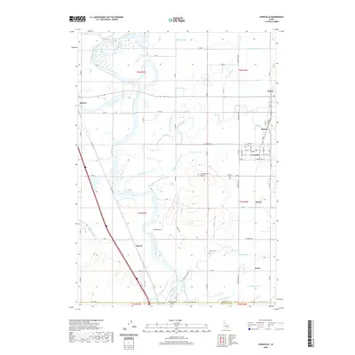 2020 Lewisville2020 Print · USGSJefferson County's agricultural heartland is revealed in the early twenty-first century, where the Snake River feeds a complex grid of historic irrigation canals. Researchers can trace family roots through the namesake Lewisville Cem, or explore the old settlements of Roberts, Menan, and Bassett.
 - 2020 Map of Circular Butte, 2020 Print
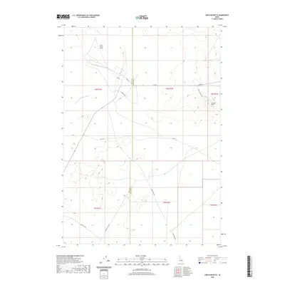 2020 Circular Butte2020 Print · USGSThe high desert of Jefferson and Butte Counties is captured here in the contemporary era. Researchers can trace the unique hydrology of the Birch Creek Sinks, the volcanic profile of Circular Butte, and desert routes like Cinder Butte Rd.
 - 2020 Map of Cedar Butte, 2020 Print
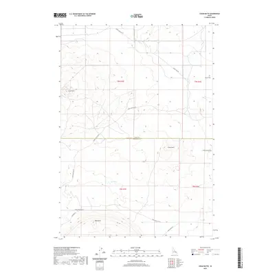 2020 Cedar Butte2020 Print · USGSThe high desert of the Snake River Plain near the Jefferson County border is captured here in recent years. Researchers can trace the volcanic geography of Cedar Butte and Camas Butte or follow historic routes like Dutch Flat and Snake River Plain Rd.
 - 2020 Map of Lidy Hot Springs SE, 2020 Print
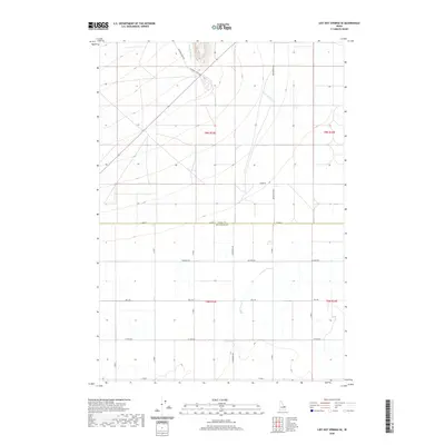 2020 Lidy Hot Springs SE2020 Print · USGSEastern Idaho's rural landscape at the turn of the decade reveals a clear divide between historic paths and modern agriculture. Trace the course of Emigrant Trail Rd and the drainage of Warm Springs Cr alongside local thoroughfares like Schwendig Rd.
 - 2020 Map of Camas, 2020 Print
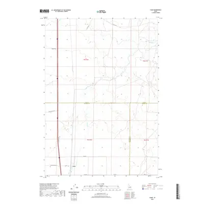 2020 Camas2020 Print · USGSCamas and the surrounding high desert terrain are captured in this modern survey, reflecting the region's deep agricultural roots. Researchers can trace historic transit corridors like Old Hwy 91 and water features such as Beaver Cr and Camas Cr.
 - 2020 Map of Cedar Butte SW, 2020 Print
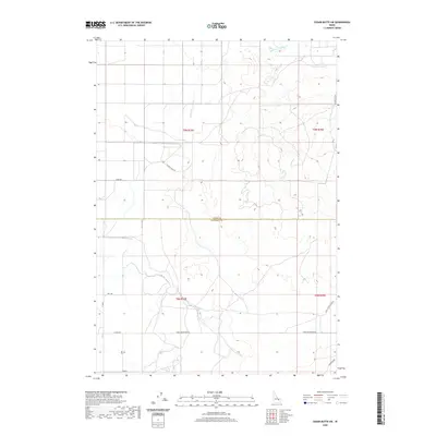 2020 Cedar Butte SW2020 Print · USGSThe high Snake River Plain in Jefferson County comes into focus in this recent survey of its ranching and farm lands. Researchers can trace the reach of Medicine Lodge Cr and find old family-named routes like Attkins Rd and Sauer Rd.
 - 2020 Map of Little Butte SW, 2020 Print
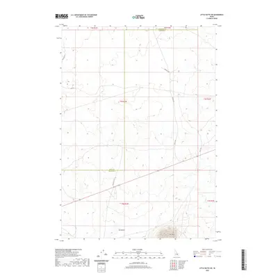 2020 Little Butte SW2020 Print · USGSBingham County and the surrounding high desert are captured here in the early twenty-first century as a land of volcanic landmarks and intersecting county lines. Researchers can trace the routes of Stage Rd and Seven Mile Rd near the prominent rises of Twin Buttes and East Butte.
 - 2020 Map of Snaky Canyon, 2020 Print
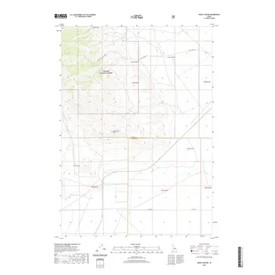 2020 Snaky Canyon2020 Print · USGSJefferson and Clark counties meet here in recent years, where the edges of the high forest meet the irrigated valley floor. Genealogists and researchers can trace the course of the Reno Ditch and the primitive paths of Snaky Canyon Rd and Attkins Rd.
 - 2020 Map of Mud Lake NW, 2020 Print
 2020 Mud Lake NW2020 Print · USGSJefferson County’s high desert water systems are on display in this contemporary topographic study of the northern Snake River Plain. Researchers can trace the essential irrigation networks of the Owsley Canal and Jefferson Canal as they skirt Mud Lake and the volcanic rise of Needle Butte.
Showing maps 1-25 of 58
Top cities of Jefferson County
- Rigby historical maps
- Menan historical maps
- Roberts historical maps
- Ririe historical maps
- Lewisville historical maps
- Mud Lake historical maps
Frequently asked questions
- What are the different types of historical maps available for Jefferson County?
- What is the oldest map of Jefferson County?
- Where can I purchase historical maps of Jefferson County for my home or office?
- Where can I download high-res historical maps of Jefferson County?
- Are there historical topographic maps available for Jefferson County?
- Is there historical aerial imagery available for Jefferson County?
- Where are historical maps of Jefferson County sourced from?