1970s Maps of Adams County, Illinois
Explore 6 historic maps of Adams County from the 1970s. These maps offer a rare glimpse into what life looked like during the 1970s — showing old roads, neighborhoods, homes, and landmarks that have changed or disappeared over time.
Whether you're researching your family's past, planning a metal detecting trip, or studying how Adams County's landscape evolved across the 1970s, these high-resolution maps are a powerful tool for exploring the history of this region.
- Focus on a specific era: All maps on this page are from the 1970s, giving you a focused view of this time period.
- See what’s changed: Compare century-old streets, trails, and buildings to today's modern landscape using overlays and satellite layers.
- Research with precision: Use these maps for genealogy, historical research, land use analysis, or educational projects.
- View, download, or print: Maps are fully viewable online in high resolution, and can be downloaded or printed for your own records.
Start exploring Adams County's history through authentic maps from the 1970s. This is your window into the past.
Adams County, IL maps
(6)- 1971 Map of Quincy SW, 1973 Print
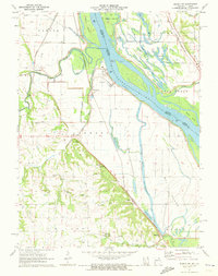 1971 Quincy SW1973 Print · USGSMarion County's riverfront landscape is captured here in the early seventies, showing a complex network of levees and sloughs along the Mississippi. Genealogists and local historians can locate numerous family burial grounds including Pennewell Cem, Kaiser Cem, and Thrasher Chapel Cem.
 - 1971 Map of Quincy East, 1973 Print
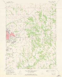 1971 Quincy East1973 Print · USGSEastern Quincy and the surrounding Adams County townships are captured here in the early seventies as the city grid pushed toward the rural prairie. Genealogists can locate several family burial grounds including Powell Cem and Eeds Cem, alongside landmarks like Melrose Chapel and Hickory Grove.2 unique versions available
 - 1971 Map of Quincy West, 1973 Print
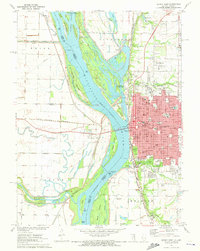 1971 Quincy West1973 Print · USGSThe riverfront city of Quincy is shown in the early seventies, at the height of its mid-century industrial and civic development. Researchers can trace local institutions and family names at Woodland Cem, Quincy College, and the Illinois Soldiers and Sailors Home.
 - 1971 Map of Marblehead, 1973 Print
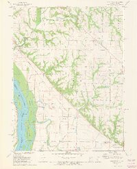 1971 Marblehead1973 Print · USGSThe Illinois riverfront south of Quincy was a landscape of managed floodplains and scattered settlements in the early 1970s. Trace family history at Craigtown Cem or follow the old Burlington Northern line through Marblehead and Bluff Hall.2 unique versions available
 - 1975 Map of Augusta NW, 1976 Print
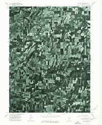 1975 Augusta NW1976 Print · USGSIllinois farmland and rural settlements are captured in high-detail aerial photography during the mid-seventies. Researchers can pinpoint specific farmsteads and the historic town layouts of Augusta and La Prairie as they existed fifty years ago.
 - 1975 Map of Augusta SW, 1976 Print
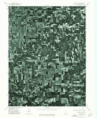 1975 Augusta SW1976 Print · USGSEastern Adams County is captured in mid-1970s aerial detail, revealing the precise layout of agricultural fields and rural roads. Genealogists and researchers can trace the specific footprints of farmsteads and the street grids of Clayton and Timewell.
End of results
Showing maps 1-6 of 6
Top cities of Adams County
- Quincy historical maps
- Camp Point historical maps
- Payson historical maps
- Mendon historical maps
- Clayton historical maps
- Burton historical maps
See more
Frequently asked questions
- What are the different types of historical maps available for Adams County?
- What is the oldest map of Adams County?
- Where can I purchase historical maps of Adams County for my home or office?
- Where can I download high-res historical maps of Adams County?
- Are there historical topographic maps available for Adams County?
- Is there historical aerial imagery available for Adams County?
- Where are historical maps of Adams County sourced from?