2000s (21st Century) Maps of Adams County, Illinois
Explore 107 historic maps of Adams County from the 2000s (21st Century). These maps offer a rare glimpse into what life looked like during the 2000s — showing old roads, neighborhoods, homes, and landmarks that have changed or disappeared over time.
Whether you're researching your family's past, planning a metal detecting trip, or studying how Adams County's landscape evolved across the 2000s, these high-resolution maps are a powerful tool for exploring the history of this region.
- Focus on a specific era: All maps on this page are from the 2000s, giving you a focused view of this time period.
- See what’s changed: Compare century-old streets, trails, and buildings to today's modern landscape using overlays and satellite layers.
- Research with precision: Use these maps for genealogy, historical research, land use analysis, or educational projects.
- View, download, or print: Maps are fully viewable online in high resolution, and can be downloaded or printed for your own records.
Start exploring Adams County's history through authentic maps from the 2000s. This is your window into the past.
Adams County, IL maps
(107)- 2012 Map of La Grange, 2012 Print
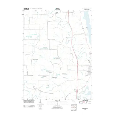 2012 La Grange2012 Print · USGSLewis County at the turn of the decade shows a landscape shaped by river commerce and rural industry along the Mississippi. Researchers can trace family history at Riverview Cemetery or locate old crossings like Gordon Ford and Durgans' Landing.
 - 2012 Map of Canton, 2012 Print
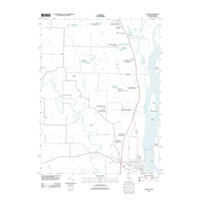 2012 Canton2012 Print · USGSCanton and the Lewis County riverfront come alive in the early 2010s as a hub of Mississippi River activity and rural Missouri settlement. Trace local history at the Canton Ferry or search for family roots at Oak Bluff Cemetery and Prospect Cemetery.
 - 2012 Map of Quincy SW, 2012 Print
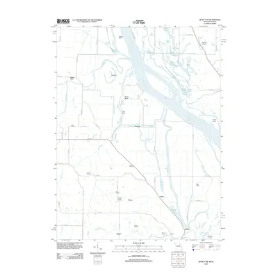 2012 Quincy SW2012 Print · USGSThe Mississippi River bottomlands north of Hannibal appear here during the early twenty-first century, showing a landscape of complex waterways and levees. Genealogists can locate several family burial grounds, including Thrasher Chapel Cemetery, Gottman Cemetery, and Pennewell Cemetery.
 - 2012 Map of Columbus, 2012 Print
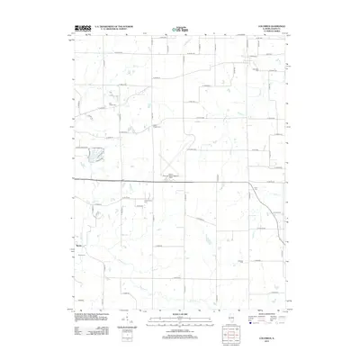 2012 Columbus2012 Print · USGSAdams County rural life is captured here in the early twenty-first century, centered on the fields between small settlements and the regional airport. Genealogists and local researchers can locate numerous historic burial sites, such as Columbus Cem, Lierly Cem, and Burton Cem.
 - 2012 Map of Richfield, 2012 Print
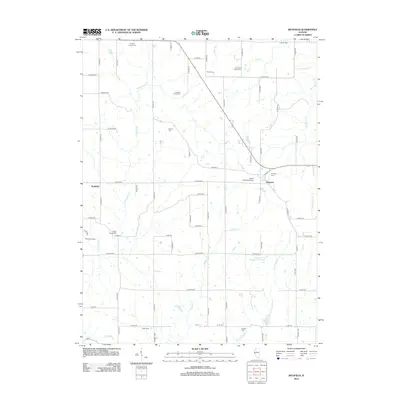 2012 Richfield2012 Print · USGSThe rural stretches of Adams County are shown here in the early twenty-first century, a landscape defined by century-old family plots and small crossroads villages. Genealogists can locate several family-named burial sites including Rice Family Cem, Potter Cem, and Stewart Cem.
 - 2012 Map of Quincy West, 2012 Print
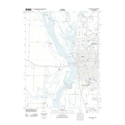 2012 Quincy West2012 Print · USGSThe riverfront of Quincy and its Missouri neighbors are documented here in the early twenty-first century as the city expands across the bluffs. Researchers can trace family history at Woodland Cem or locate river landmarks like Bullians Landing and Lock and Dam No 21.
 - 2012 Map of Liberty, 2012 Print
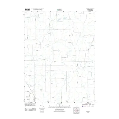 2012 Liberty2012 Print · USGSThe rural landscape around Liberty and the McKee Cr basin is preserved here in the early twenty-first century. Genealogists and historians can trace numerous family burial sites, from the Liberty Old Cem to the Hughes Family Cem and Goertz Cem.
 - 2012 Map of Augusta, 2012 Print
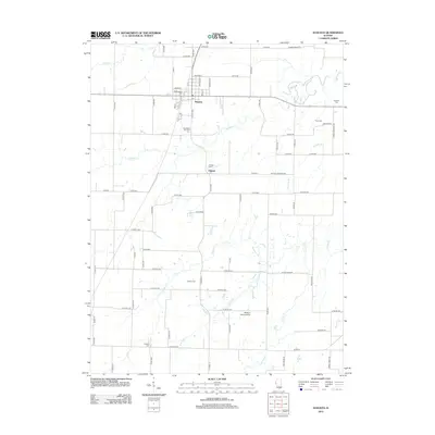 2012 Augusta2012 Print · USGSHancock County, Illinois, maintains its quiet agricultural character in the early twenty-first century. Researchers can trace family history through numerous rural burial sites including Old Augusta Cem, Dron Cem, and Leenerts Cem along the banks of Cedar Cr.
 - 2012 Map of Kellerville, 2012 Print
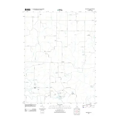 2012 Kellerville2012 Print · USGSAdams County at the start of the 2010s reveals a rural landscape defined by the expansive Siloam Springs State Park and the settlement of Kellerville. Genealogists can trace family history through over a dozen rural burial sites, including Higley Family Cemetery and Ausmus Cemetery.
 - 2012 Map of Bowen, 2012 Print
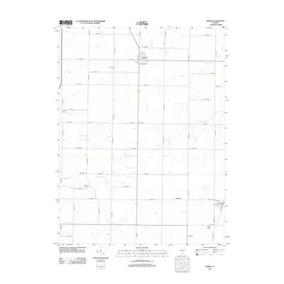 2012 Bowen2012 Print · USGSThe village of Bowen and the surrounding Hancock County farmlands are shown here in the early twenty-first century. Genealogists and local researchers can pinpoint historical burial sites like Ebenezer Cem and Bowen Cem or follow the paths of Slater Cr and Flour Cr.
 - 2012 Map of Tioga, 2012 Print
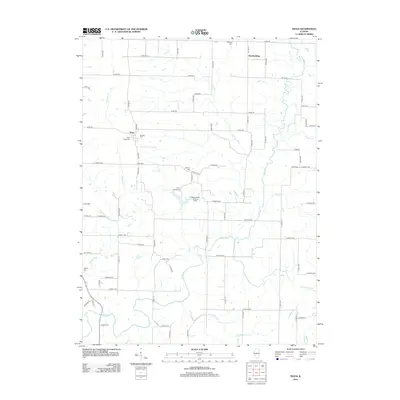 2012 Tioga2012 Print · USGSAdams County’s rural character is on full display in this early twenty-first-century survey of the Tioga area. Researchers can trace family history through several local landmarks including West Tioga Cem, Bethany Cem, and the small settlement at Breckenridge.
 - 2012 Map of Camp Point, 2012 Print
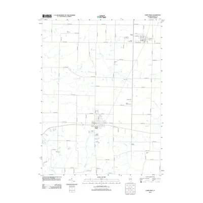 2012 Camp Point2012 Print · USGSThe rural landscape of Adams County comes into focus in this early 21st-century study of the area between Golden and Camp Point. Genealogists can locate several local burial grounds including Evergreen Cem and the small Wilkes Cem tucked away near E 2100th St.
 - 2012 Map of Mendon, 2012 Print
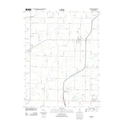 2012 Mendon2012 Print · USGSWestern Illinois farm country and the villages of Mendon and Ursa are captured here during the early twenty-first century. Genealogists can trace family names through numerous local burial sites like Stone Family Cem, Booth Cem, and New Providence Cem.
 - 2012 Map of Loraine, 2012 Print
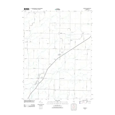 2012 Loraine2012 Print · USGSHancock County farmland is documented here in the early twenty-first century, showing a network of rural townships and family plots. Genealogists can trace local heritage through the Loraine Old Cem, Chili Cem, and small rural communities like Stillwell and Bigneck.
 - 2012 Map of Marblehead, 2012 Print
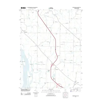 2012 Marblehead2012 Print · USGSThe Mississippi River floodplain and Adams County bluffs are shown in detail during the early 2010s. Genealogists and local historians can trace family plots at Bluff Hall Cem and Craigtown Cem or locate the settlements of Marblehead and Seehorn.
 - 2012 Map of Payson, 2012 Print
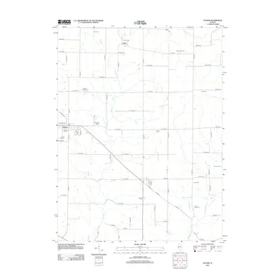 2012 Payson2012 Print · USGSAdams County at the start of the 2010s reveals a landscape deeply rooted in family history and agricultural tradition. Genealogists can trace lineage across numerous preserved burial sites such as Payson Old Cem, Richland Cem, and the Nichols Family Cem.
 - 2012 Map of Long Island, 2012 Print
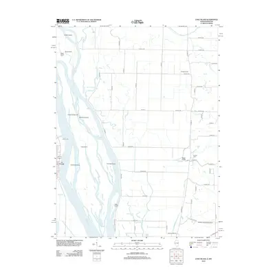 2012 Long Island2012 Print · USGSThe Missouri-Illinois borderlands come alive in the early twenty-first century as the Mississippi River carves a dense network of islands and chutes. Genealogists and local historians can trace the riverfront at La Grange or locate rural sites like LeSueur's Port and Campbell Farms.
 - 2012 Map of Clayton, 2012 Print
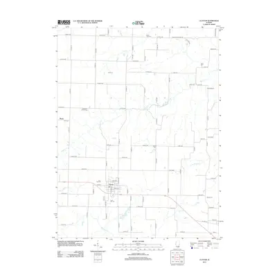 2012 Clayton2012 Print · USGSClayton and its surrounding farmsteads are captured in the early twenty-first century, revealing a landscape shaped by rural tradition and family heritage. Genealogists can trace numerous burial sites including Meints Cem, Mounds Cem, and West Side Cem.
 - 2012 Map of Fishhook, 2012 Print
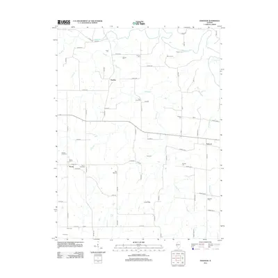 2012 Fishhook2012 Print · USGSThis rural Illinois landscape at the start of the 21st century remains defined by its winding creeks and family-named landmarks. Genealogists can locate numerous small burial sites like Mixer Family Cem and Seybold Cem near the village of Fishhook.
 - 2012 Map of Quincy East, 2012 Print
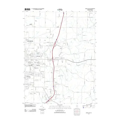 2012 Quincy East2012 Print · USGSThe eastern suburbs of Quincy and rural Adams County are captured here during a period of steady residential growth and institutional expansion. Genealogists can trace numerous burial sites including Quincy National Cem, Saint Peters Cem, and the Ellington Church Cem.
 - 2012 Map of Coatsburg, 2012 Print
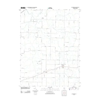 2012 Coatsburg2012 Print · USGSWestern Illinois farm country is mapped here in the early twenty-first century, showing the enduring grid of rural life. Genealogists can locate several family burial grounds like Cate Family Cemetery, Gooding Cemetery, and Paloma Cemetery.
 - 2012 Map of Lima, 2012 Print
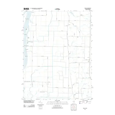 2012 Lima2012 Print · USGSThe Illinois river bottoms and the settlement of Lima are documented here in the early twenty-first century. Genealogists and historians can locate numerous rural burial sites like Oak Valley Missionary Cem and Crenshaw Cem, or trace family landmarks along Bear Cr.
 - 2015 Map of La Grange, 2015 Print
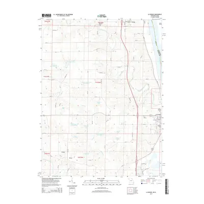 2015 La Grange2015 Print · USGSLewis County, Missouri, is captured here in the early twenty-first century as the Mississippi River flows past established river towns. Researchers can trace land ownership and family history through landmarks like Wyaconda Church, Riverview Cemetery, and Dillon Island.
 - 2015 Map of Canton, 2015 Print
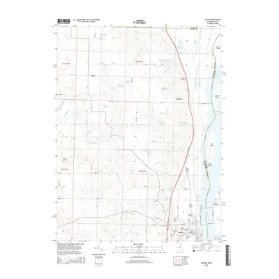 2015 Canton2015 Print · USGSCanton and the Missouri riverfront are documented here in the mid-2010s, showcasing the town's connection to the Mississippi waterway. Genealogists can trace family names through Forest Grove Cemetery and Gregory Cemetery, or locate the campus of Culver-Stockton Coll.
 - 2015 Map of Quincy SW, 2015 Print
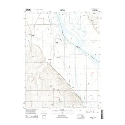 2015 Quincy SW2015 Print · USGSMarion County at the edge of the Mississippi comes to life in this survey of the river's backwaters and bottomlands. Genealogists can trace family heritage through numerous landmarks, including Cobb Cemetery, Thrasher Chapel, and the historic northern outskirts of Hannibal.
Showing maps 1-25 of 107
Top cities of Adams County
- Quincy historical maps
- Camp Point historical maps
- Payson historical maps
- Mendon historical maps
- Clayton historical maps
- Burton historical maps
See more
Frequently asked questions
- What are the different types of historical maps available for Adams County?
- What is the oldest map of Adams County?
- Where can I purchase historical maps of Adams County for my home or office?
- Where can I download high-res historical maps of Adams County?
- Are there historical topographic maps available for Adams County?
- Is there historical aerial imagery available for Adams County?
- Where are historical maps of Adams County sourced from?