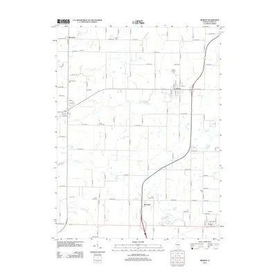
2012 Map of Mendon
USGS Topo · Published 2012About this map
Mendon serves as a central hub for this rural portion of Adams County, where the landscape is defined by the drainage of Jenkins Cr, Ursa Cr, and Rock Cr. The area is characterized by a dense network of family and community cemeteries, such as Stone Family Cem and Keith Cem, reflecting a long history of local settlement and genealogical depth. Transport across the terrain follows a grid of local roads, including Baseline Rd and Short Line Rd, which connect the village of Ursa and the community of Marcelline with the surrounding agricultural land. To the east, Grindstone Cr and the Cramm Landing Area suggest historical points of interest along the waterways. The presence of churches like Saint Joseph Cem and Wesley Chapel Cem further anchors the rural social structure of this Illinois prairie landscape.
Find a feature on this map
96 named features on this map. Tap any name to fly to it.
Don’t see what you’re looking for? This feature index may not catch every label — zoom into the map to look around manually.
Map Details
Editions of this 2012 Mendon Map
This is the sole edition of this map. No revisions or reprints were ever made.
Other maps of this area

1925 · Quincy
USGS Topo · 1:62,500

1925 · Liberty
USGS Topo · 1:62,500

1927 · Liberty
USGS Topo · 1:62,500

1944 · Quincy
USGS Topo · 1:62,500

1945 · Quincy
USGS Topo · 1:62,500

1946 · Mendon
USGS Topo · 1:62,500

1948 · Quincy
USGS Topo · 1:250,000

1948 · Mendon
USGS Topo · 1:62,500

1948 · Camp Point
USGS Topo · 1:62,500

1956 · Quincy
USGS Topo · 1:250,000