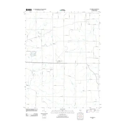
2012 Map of Columbus
USGS Topo · Published 2012About this map
Quincy Regional Airport-Baldwin Field anchors the central landscape of this western Illinois region, representing the modern transport hub of Adams County. The surrounding countryside retains its rural character, defined by a dense network of family and community burial grounds including Columbus Cem, Saint Joseph Cem, and Independence Cem. These landmarks, along with the settlement at Burton, speak to the long-standing community roots established in the area's agricultural heartland.
Find a feature on this map
48 named features on this map. Tap any name to fly to it.
Don’t see what you’re looking for? This feature index may not catch every label — zoom into the map to look around manually.
Map Details
Editions of this 2012 Columbus Map
This is the sole edition of this map. No revisions or reprints were ever made.
Other maps of this area

1925 · Quincy
USGS Topo · 1:62,500

1925 · Liberty
USGS Topo · 1:62,500

1927 · Liberty
USGS Topo · 1:62,500

1944 · Quincy
USGS Topo · 1:62,500

1945 · Quincy
USGS Topo · 1:62,500

1946 · Mendon
USGS Topo · 1:62,500

1948 · Quincy
USGS Topo · 1:250,000

1948 · Mendon
USGS Topo · 1:62,500

1948 · Camp Point
USGS Topo · 1:62,500

1956 · Quincy
USGS Topo · 1:250,000