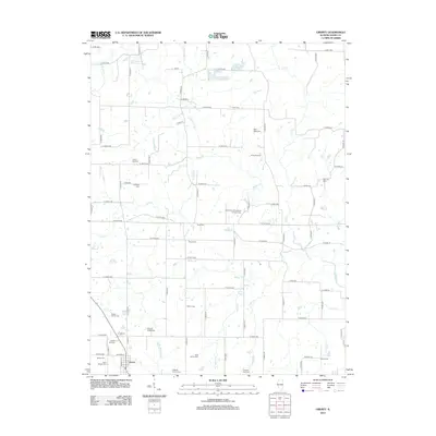
2012 Map of Liberty
USGS Topo · Published 2012About this map
Liberty serves as the primary focal point of this western Illinois landscape, situated at the confluence of several rural thoroughfares. The region is defined by an intricate network of waterways, including McKee Cr and its many tributaries like Fisher Br, Walker Br, and Willow Br. This hydrology historically shaped the placement of farmsteads and the various family burial grounds that dot the countryside. For those tracing local genealogy, the map identifies a high concentration of small family-named cemeteries such as the Grubb Family Cem, Williams Family Cem, and Clark Family Cem. Beyond the agricultural tracts, recreational sites like Camp Mohawk and Camp Callahan appear alongside water bodies such as Columbus Dry Gulch Club Lake and Sims Pond, illustrating how the land transitioned from strictly utilitarian farming to include seasonal camps and private lake clubs.
Find a feature on this map
91 named features on this map. Tap any name to fly to it.
Don’t see what you’re looking for? This feature index may not catch every label — zoom into the map to look around manually.
Map Details
Editions of this 2012 Liberty Map
This is the sole edition of this map. No revisions or reprints were ever made.
Other maps of this area

1925 · Liberty
USGS Topo · 1:62,500

1926 · Mt Sterling
USGS Topo · 1:62,500

1927 · Liberty
USGS Topo · 1:62,500

1929 · Mt Sterling
USGS Topo · 1:62,500

1946 · Augusta
USGS Topo · 1:62,500

1948 · Quincy
USGS Topo · 1:250,000

1948 · Camp Point
USGS Topo · 1:62,500

1949 · Augusta
USGS Topo · 1:62,500

1956 · Quincy
USGS Topo · 1:250,000

1958 · Burlington
USGS Topo · 1:250,000