Old Maps of Greenville, Illinois for Hiking & Exploration
Hike through history with 30 historic maps of Greenville. Explore old trails, ghost towns, and forgotten backroads — perfect for outdoor adventurers and local explorers.
- Rediscover forgotten places: Map out old mining camps, roads, and footpaths that no longer exist on modern maps.
- Layer with modern tools: Combine with LiDAR or satellite views to plan hikes through historical terrain.
- Made for exploration: Popular among hikers, overlanders, and local history lovers.
Use these maps to find adventure and explore the hidden past of Greenville.
Greenville, IL maps
(30)- 1932 Map of Greenville
 1932 Greenville1932 Print · USGSThis Illinois landscape in the early thirties reveals a bustling agricultural and rail network centered on Greenfield. Genealogists can trace family roots through numerous country burial grounds like Stultz Cem and historic schools such as Oakland Sch.
 - 1939 Map of Greenville, 1957 Print
 1939 Greenville1957 Print · USGSBond County and the surrounding prairies are captured here in the late thirties, showing a rural economy built on the Pennsylvania railroad and local post offices. Trace the sites of vanished schoolhouses like Pleasant View Sch and old burial grounds such as Dunkard Cem or Mt Moriah Cem.2 unique versions available
 - 1943 Map of Greenville
 1943 Greenville1943 Print · USGSBond County's rail-and-river network is fully detailed in the early 1940s, showing the intersection of major lines through the region. Researchers can trace family roots at Dunkard Cem or locate community hubs like Wisetown Beaver Creek P O and the CCC Camp.2 unique versions available
 - 1958 Map of Belleville, 1973 Print
 1958 Belleville1973 Print · USGSSouthern Illinois during the mid-twentieth century reveals a landscape of industrial growth and massive new reservoirs. Genealogists and historians can trace the paths of the Illinois Central RR through towns like Centralia or locate landmarks such as Emerald Mound and the Looking Glass Prairie.3 unique versions available
 - 1962 Map of Belleville
 1962 Belleville1962 Print · USGSSouthern Illinois in the late fifties reveals a landscape of industrial growth and ancient landmarks before the full expansion of the interstate system. Genealogists can trace family names and rural post offices near Centralia, Salem, and the historic Monks Mound.
 - 1974 Map of Mulberry Grove, 1977 Print
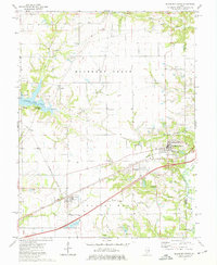 1974 Mulberry Grove1977 Print · USGSBond County enters a new era of travel in the mid-seventies as the modern interstate begins to dominate the landscape near Mulberry Grove. Genealogists and local historians can locate many small burial sites like Dunkard Cem and trace the impact of Governor Bond Lake on old farmsteads.2 unique versions available
 - 1974 Map of Beaver Creek, 1977 Print
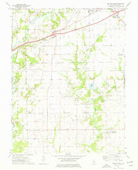 1974 Beaver Creek1977 Print · USGSBond County's rural townships are documented here during the mid-seventies as traditional farming life coexisted with modern infrastructure. Researchers can trace the layout of old communities like Stubblefield and Dudleyville or locate family sites such as Greene Cem and Campground Ch.
 - 1974 Map of Pleasant Mound, 1977 Print
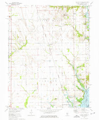 1974 Pleasant Mound1977 Print · USGSBond County's agricultural heartland meets the expanding waters of the Kaskaskia basin during the mid-seventies. Genealogists and local historians can locate rural landmarks like Noffsinger Cem, the village of Hookdale, and the Tamalco rail siding.
 - 1974 Map of Greenville, 1977 Print
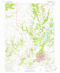 1974 Greenville1977 Print · USGSGreenville and central Bond County are captured here in the mid-seventies, showing the intersection of long-standing family history and modern civic development. Genealogists can trace numerous local sites such as Hazel Dell Cem, St Lawrence Cem, and the quiet rural community of Ayers.
 - 1985 Map of Carlyle Lake
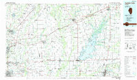 1985 Carlyle Lake1985 Print · USGSSouthwestern Illinois in the mid-eighties shows a landscape of growing commuter suburbs and massive water management projects. Genealogists and historians can locate family plots at Lakeview Memorial Gardens Cem or trace the early footprint of Southern Illinois Univ (Edwardsville).2 unique versions available
 - 2012 Map of Beaver Creek, 2012 Print
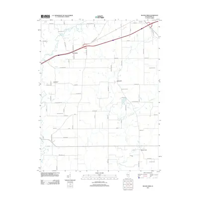 2012 Beaver Creek2012 Print · USGSBond County's agricultural and transit corridors come into focus in the early 2010s, showing a landscape of family farms and energy storage. Genealogists and local historians can locate Wisetown Cem, the village of Dudleyville, and the Stubblefield Gas Storage Field.
 - 2012 Map of Greenville, 2012 Print
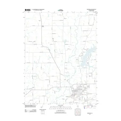 2012 Greenville2012 Print · USGSGreenville and its surrounding Bond County townships are shown here at the start of the 2010s. Researchers can locate many family burial sites like Saint Lawrence Catholic Cem and historic institutions like Greenville College.
 - 2012 Map of Mulberry Grove, 2012 Print
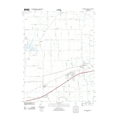 2012 Mulberry Grove2012 Print · USGSBond County's prairie and creek bottoms are documented here in the early 2010s, showing a blend of oil extraction and small-town Illinois life. Researchers can locate family landmarks like Hastings Cem, trace the Woburn Consolidated Oil Field, or find local centers like Mahle School and Mulberry Grove.
 - 2012 Map of Pleasant Mound, 2012 Print
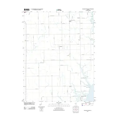 2012 Pleasant Mound2012 Print · USGSBond County's rural landscapes and small crossroads communities are well-documented in the early twenty-first century. Researchers can locate family burial sites at Saint Peters Cem and trace the development of Hookdale, Tamalco, and the Greenville Airport.
 - 2015 Map of Mulberry Grove, 2015 Print
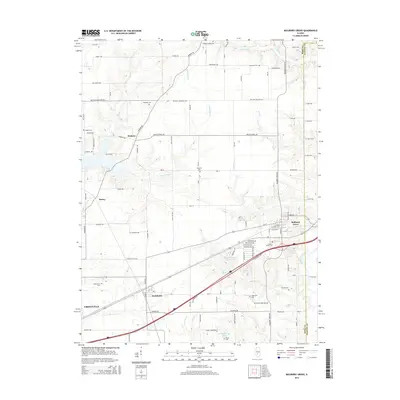 2015 Mulberry Grove2015 Print · USGSBond County's eastern townships are shown in detail during the mid-2010s, capturing the enduring rural character of the Illinois prairie. Researchers can trace numerous family burial sites such as Etcheson Cem and Dunkard Cem or locate the historic center of Mulberry Grove.
 - 2015 Map of Greenville, 2015 Print
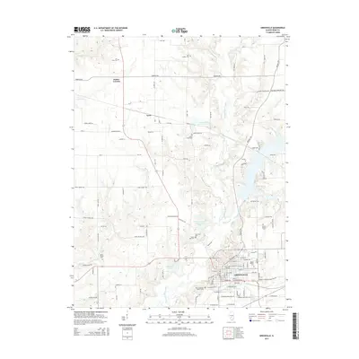 2015 Greenville2015 Print · USGSGreenville and its rural Bond County surroundings are documented here in the early twenty-first century, showing a landscape shaped by education and agriculture. Genealogists can trace numerous burial sites including Mount Auburn Cem and Mount Moriah Cem alongside the historic Greenville College campus.
 - 2015 Map of Pleasant Mound, 2015 Print
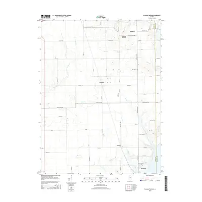 2015 Pleasant Mound2015 Print · USGSBond and Fayette counties meet in this agricultural landscape during the mid-2010s, showing a network of rural hamlets and family farmsteads. Genealogists can locate legacy burial sites like Noffsinger Cem and trace old roads connecting Hookdale to Tamalco.
 - 2015 Map of Beaver Creek, 2015 Print
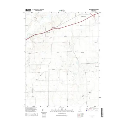 2015 Beaver Creek2015 Print · USGSBond County's prairie landscape is captured here in the mid-2010s, showing the agricultural and transit networks surrounding the city of Greenville. Researchers can locate several rural burial sites and small communities such as Stubblefield, Wisetown Cemetery, and Dudleyville.
 - 2018 Map of Pleasant Mound, 2018 Print
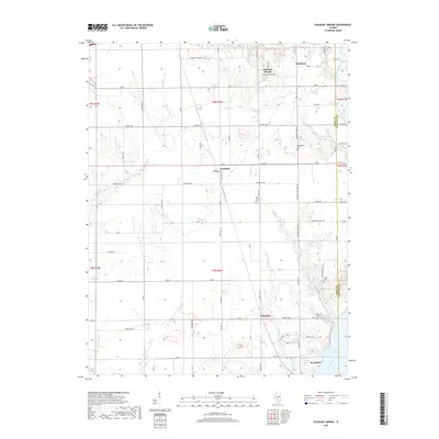 2018 Pleasant Mound2018 Print · USGSThe eastern edge of Bond County comes into focus in the late 2010s, showcasing the rural landscapes surrounding the northern tip of Carlyle Lake. Researchers can locate legacy family burial grounds like Noffsinger Cem and trace the paths of old settlements including Hookdale and Tamalco.
 - 2018 Map of Beaver Creek, 2018 Print
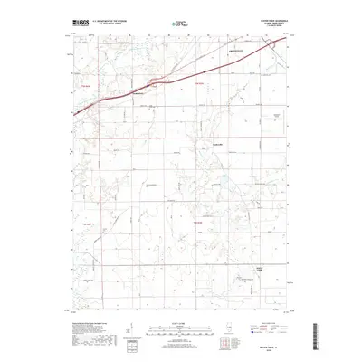 2018 Beaver Creek2018 Print · USGSBond County's rural landscape is captured here in the late 2010s, centered on the growth of Greenville and its surrounding townships. Researchers can trace family history at Smith Grove Cem or locate old community hubs like Stubblefield and Wisetown.
 - 2018 Map of Mulberry Grove, 2018 Print
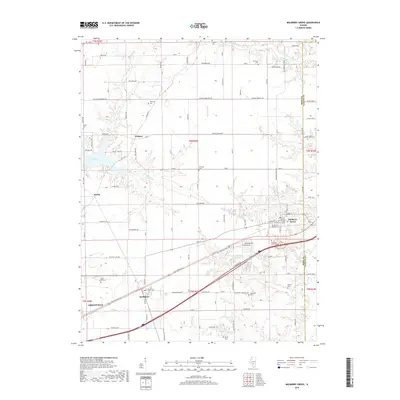 2018 Mulberry Grove2018 Print · USGSBond County and the Fayette County border are shown in this contemporary study of south-central Illinois. Genealogists and local historians can trace family roots through numerous burial sites like Dunkard Cem and Liberty Cem or locate the early footprints of Woburn and Smithboro.
 - 2018 Map of Greenville, 2018 Print
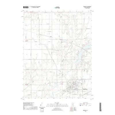 2018 Greenville2018 Print · USGSGreenville and its surrounding Bond County farmsteads are shown here in the late 2010s. Researchers can locate numerous local burial sites like Mount Gilead Cem and Montrose Cem or trace the campus of Greenville College.
 - 2021 Map of Beaver Creek, 2021 Print
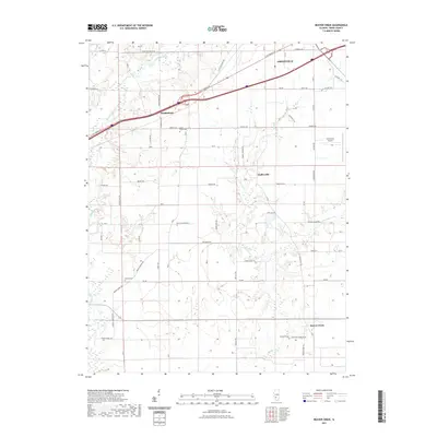 2021 Beaver Creek2021 Print · USGSBond County's rural landscape comes into focus in this contemporary survey of the settlements surrounding the county seat. Researchers can trace the placement of family landmarks like Smith Grove Cem and Wisetown Cem or follow the waters of Beaver Creek.
 - 2021 Map of Pleasant Mound, 2021 Print
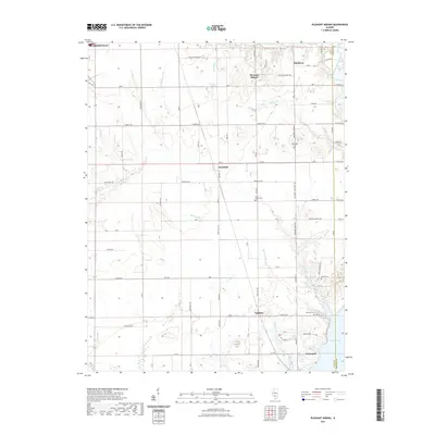 2021 Pleasant Mound2021 Print · USGSBond and Fayette counties are shown here as the countryside meets the northern reaches of the reservoir. Family history researchers can trace local roots through rural landmarks like Noffsinger Cem, Tamalco, and the small settlement of Hookdale.
 - 2021 Map of Greenville, 2021 Print
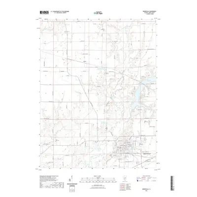 2021 Greenville2021 Print · USGSGreenville and the surrounding Bond County countryside are captured here in the early 2020s, showcasing a landscape of established educational institutions and vital waterways. Genealogists can trace family history through a dozen local burial sites, including Montrose Cem, Mount Gilead Cem, and Saint Lawrence Cem.
Showing maps 1-25 of 30
Top cities near Greenville
- Pleasant Mound historical maps
- Coffeen historical maps
- Pocahontas historical maps
- Tamalco historical maps
- Mulberry Grove historical maps
- Shafter historical maps
See more
Frequently asked questions
- What are the different types of historical maps available for Greenville?
- What is the oldest map of Greenville?
- Where can I purchase historical maps of Greenville for my home or office?
- Where can I download high-res historical maps of Greenville?
- Are there historical topographic maps available for Greenville?
- Is there historical aerial imagery available for Greenville?
- Where are historical maps of Greenville sourced from?