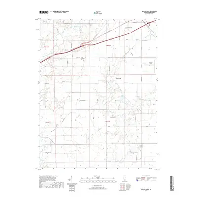
2018 Map of Beaver Creek
USGS Topo · Published 2018About this map
Greenville serves as the primary hub in this portion of Bond County, situated where the terrain begins to slope toward the watershed of East Fork Shoal Creek. The landscape is a mix of small unincorporated settlements and agricultural land, with Stubblefield and Dudleyville marking historic crossroads. Local transit is defined by W City Route 40, which parallels the modern interstate corridor, connecting these smaller communities to the regional center.
Find a feature on this map
49 named features on this map. Tap any name to fly to it.
Don’t see what you’re looking for? This feature index may not catch every label — zoom into the map to look around manually.
Map Details
Editions of this 2018 Beaver Creek Map
This is the sole edition of this map. No revisions or reprints were ever made.
Other maps of this area

1906 · Breese
USGS Topo · 1:62,500

1907 · Breese
USGS Topo · 1:62,500

1910 · Carlyle
USGS Topo · 1:62,500

1932 · Greenville
USGS Topo · 1:62,500

1937 · New Douglas
USGS Topo · 1:48,000

1939 · Greenville
USGS Topo · 1:62,500

1943 · Greenville
USGS Topo · 1:62,500

1944 · New Douglas
USGS Topo · 1:62,500

1948 · Carlyle
USGS Topo · 1:62,500

1958 · Belleville
USGS Topo · 1:250,000