2020s Maps of Edgar County, Illinois
Explore 38 historic maps of Edgar County from the 2020s. These maps offer a rare glimpse into what life looked like during the 2020s — showing old roads, neighborhoods, homes, and landmarks that have changed or disappeared over time.
Whether you're researching your family's past, planning a metal detecting trip, or studying how Edgar County's landscape evolved across the 2020s, these high-resolution maps are a powerful tool for exploring the history of this region.
- Focus on a specific era: All maps on this page are from the 2020s, giving you a focused view of this time period.
- See what’s changed: Compare century-old streets, trails, and buildings to today's modern landscape using overlays and satellite layers.
- Research with precision: Use these maps for genealogy, historical research, land use analysis, or educational projects.
- View, download, or print: Maps are fully viewable online in high resolution, and can be downloaded or printed for your own records.
Start exploring Edgar County's history through authentic maps from the 2020s. This is your window into the past.
Edgar County, IL maps
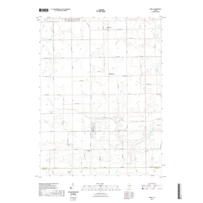
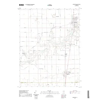
(38)- 2021 Map of Allerton, 2021 Print
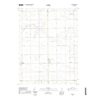 2021 Allerton2021 Print · USGSCovers Edgar County, including Broadlands, Allerton, and other nearby areas
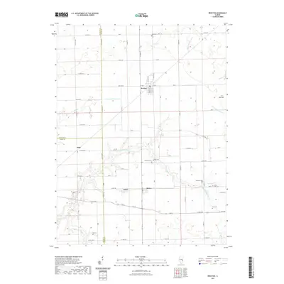
 - 2021 Map of Dennison, 2021 Print
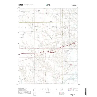 2021 Dennison2021 Print · USGSCovers Edgar County, including Weaver, State Line, and other nearby areas
 - 2021 Map of Scottland, 2021 Print
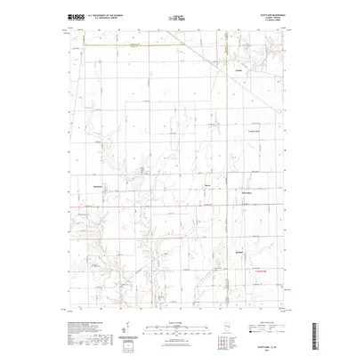 2021 Scottland2021 Print · USGSCovers Edgar County, including Raven, Scottland, and other nearby areas
 - 2021 Map of Grandview, 2021 Print
 2021 Grandview2021 Print · USGSCovers Edgar County, including Grandview, Conlogue, and other nearby areas
 - 2021 Map of Sidell, 2021 Print
 2021 Sidell2021 Print · USGSCovers Edgar County, including Sidell, Jamaica, and other nearby areas
 - 2021 Map of Humrick, 2021 Print
 2021 Humrick2021 Print · USGSCovers Edgar County, including Georgetown, Humrick, and other nearby areas
 - 2021 Map of Paris North, 2021 Print
 2021 Paris North2021 Print · USGSCovers Edgar County, including Paris, Horace, and other nearby areas
 - 2021 Map of Westfield East, 2021 Print
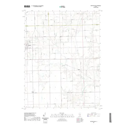 2021 Westfield East2021 Print · USGSCovers Edgar County, including Westfield, Cleone, and other nearby areas
 - 2021 Map of Georgetown, 2021 Print
 2021 Georgetown2021 Print · USGSCovers Edgar County, including Georgetown, Ridge Farm, and other nearby areas
 - 2021 Map of Hume, 2021 Print
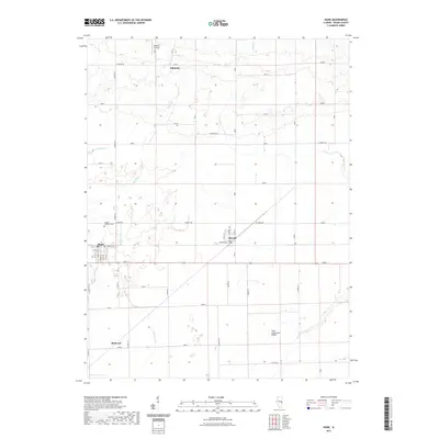 2021 Hume2021 Print · USGSCovers Edgar County, including Hume, Metcalf, and other nearby areas
 - 2021 Map of Brocton, 2021 Print
 2021 Brocton2021 Print · USGSCovers Edgar County, including Brocton, Kings, and other nearby areas
 - 2021 Map of Newman, 2021 Print
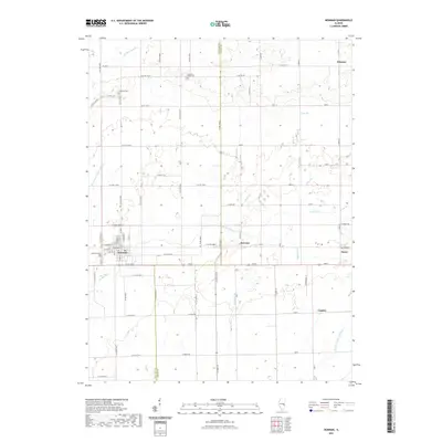 2021 Newman2021 Print · USGSCovers Edgar County, including Newman, Hume, and other nearby areas
 - 2021 Map of Redmon, 2021 Print
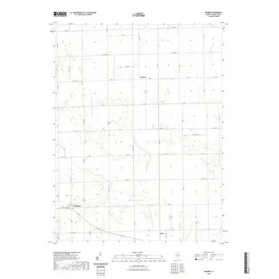 2021 Redmon2021 Print · USGSCovers Edgar County, including Redmon, United States, and other nearby areas
 - 2021 Map of Chrisman, 2021 Print
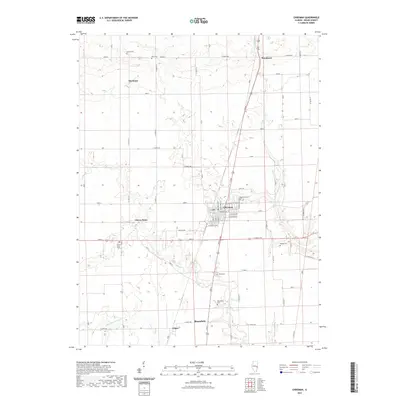 2021 Chrisman2021 Print · USGSCovers Edgar County, including Chrisman, Edgar, and other nearby areas
 - 2021 Map of Paris South, 2021 Print
 2021 Paris South2021 Print · USGSCovers Edgar County, including Paris, Nevins, and other nearby areas
 - 2021 Map of Clarksville, 2021 Print
 2021 Clarksville2021 Print · USGSCovers Edgar County, including Doyles, Clarksville, and other nearby areas
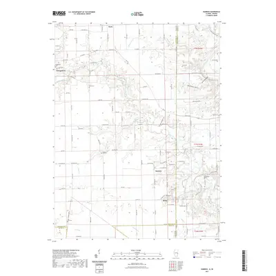
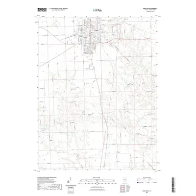
 - 2021 Map of Kansas, 2021 Print
 2021 Kansas2021 Print · USGSCovers Edgar County, including Kansas, Coles County, and other nearby areas
 - 2021 Map of Marshall, 2021 Print
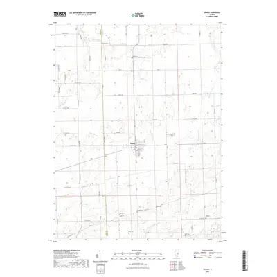
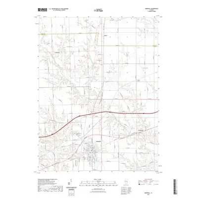 2021 Marshall2021 Print · USGSCovers Edgar County, including Marshall, Oliver, and other nearby areas
 - 2022 Map of Sandford, 2022 Print
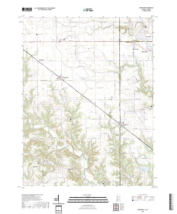 2022 Sandford2022 Print · USGSThe Illinois-Indiana borderlands are captured here in the early twenty-first century, showing a landscape of rural communities and historic cemeteries. Researchers can locate family burial plots at Vermilion Cem or Guymon Cem and trace the paths of Sugar Cr and Little Sugar Cr.
 - 2022 Map of Saint Bernice, 2022 Print
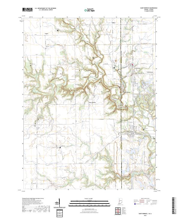 2022 Saint Bernice2022 Print · USGSThe Indiana-Illinois state line comes alive in this survey of Vermillion County, where small communities like St. Bernice and Blanford sit amidst the winding Brouilletts Creek. Genealogists can locate numerous burial sites including Sugar Grove Cem and Old Scott Cem.
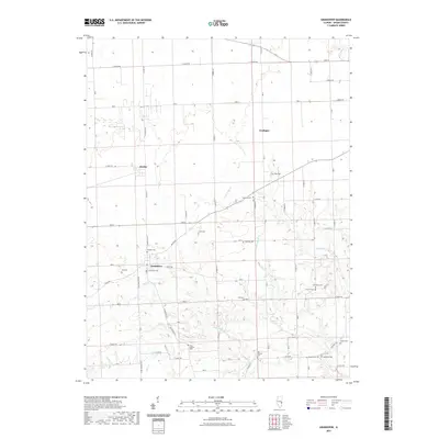
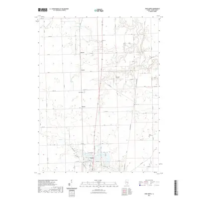
 - 2024 Map of Dennison, 2024 Print
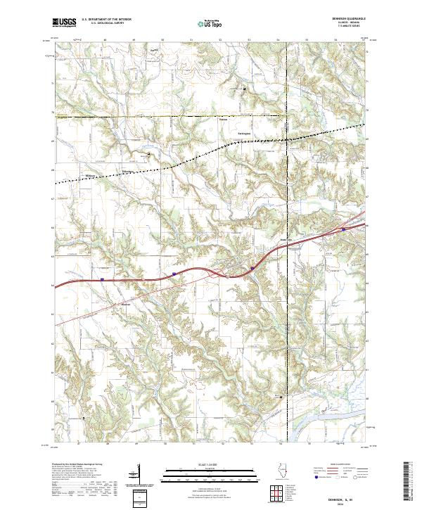 2024 Dennison2024 Print · USGSNear the Illinois-Indiana border, this modern survey details the rural crossroads and river valley terrain between Dennison and Weaver. Genealogists can trace family landmarks like Cumberland Cem and Black Cem along the Wabash River corridor.
 - 2024 Map of Chrisman, 2024 Print
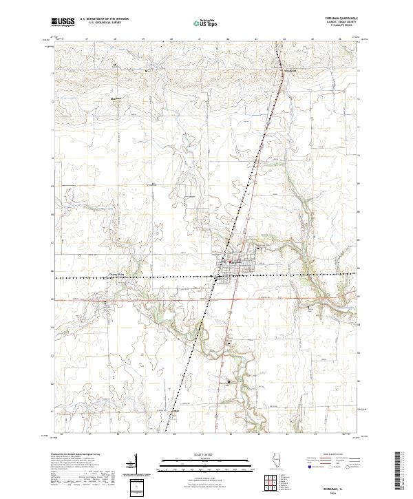 2024 Chrisman2024 Print · USGSEdgar County's agricultural heartland is shown in contemporary detail, centering on the township of Chrisman. Genealogists and local historians can trace family locations near several rural burial grounds, such as Woodland Cem, Gaines Cem, and Bloomfield Cem.
 - 2024 Map of Westfield East, 2024 Print
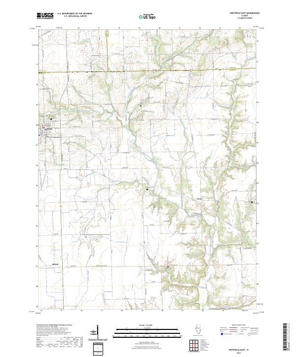 2024 Westfield East2024 Print · USGSThe village of Westfield and the surrounding Illinois countryside are captured in this modern survey of the Coles and Clark County border. Researchers can locate many local family burial grounds like Maple Hill Cem and Ennis Cem near the banks of the North Fork Embarras River.
 - 2024 Map of Paris South, 2024 Print
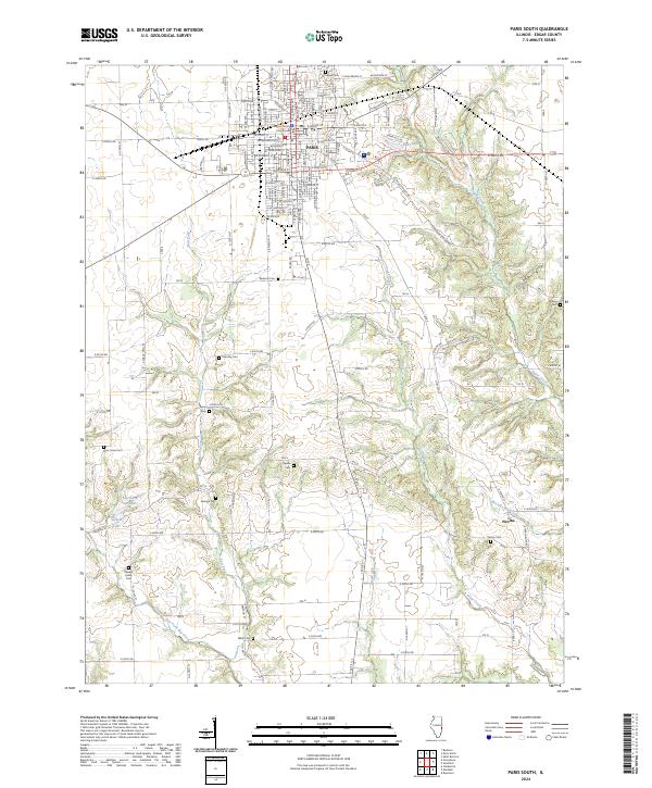 2024 Paris South2024 Print · USGSThe southern outskirts of Paris and the community of Nevins are captured here in the early twenty-first century. Genealogists can trace a remarkable number of rural burial sites, from Edgar Cem to Elledge Holley Cem and New Hope Cem.
 - 2024 Map of Sidell, 2024 Print
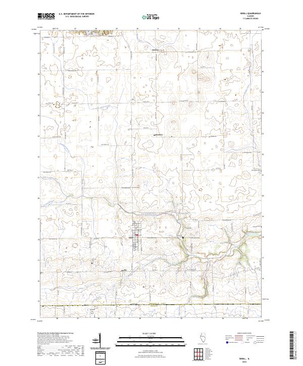 2024 Sidell2024 Print · USGSVermilion County's agricultural heartland is documented in the modern era, showing the enduring grid of rural roads and waterways. Researchers can trace local history through sites like Sidell, Maizetown, and several cemeteries including Lebanon Cemetery.
Showing maps 1-25 of 38
Top cities of Edgar County
- Paris historical maps
- Chrisman historical maps
- Kansas historical maps
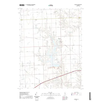
- Elbridge historical maps
- Grandview historical maps
- Edgar historical maps
See more
Frequently asked questions
- What are the different types of historical maps available for Edgar County?
- What is the oldest map of Edgar County?
- Where can I purchase historical maps of Edgar County for my home or office?
- Where can I download high-res historical maps of Edgar County?
- Are there historical topographic maps available for Edgar County?
- Is there historical aerial imagery available for Edgar County?
- Where are historical maps of Edgar County sourced from?