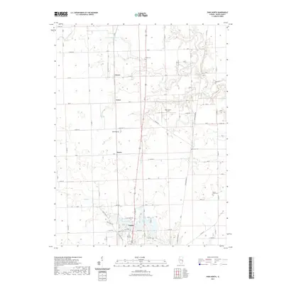
2021 Map of Paris North
USGS Topo · Published 2021About this map
The northern reaches of Paris, Illinois, are defined by a mix of agricultural heritage and modern utility in this 2021 survey. The landscape is characterized by the meandering Sugar Cr and Twin Lakes, where residential streets like Blue Heron Rd and Blackhawk Dr meet the water's edge. North of the city center, small rural communities such as Horace, Wetzel, and Harris are linked by a grid of county roads that navigate the drainage basins of the S Fork Brouilletts Cr and Snake Cr.
Find a feature on this map
57 named features on this map. Tap any name to fly to it.
Don’t see what you’re looking for? This feature index may not catch every label — zoom into the map to look around manually.
Map Details
Editions of this 2021 Paris North Map
This is the sole edition of this map. No revisions or reprints were ever made.
Other maps of this area

1946 · Kansas
USGS Topo · 1:62,500

1947 · Ridge Farm
USGS Topo · 1:62,500

1947 · Paris
USGS Topo · 1:62,500

1949 · Kansas
USGS Topo · 1:62,500

1949 · Paris
USGS Topo · 1:62,500

1950 · Sandford
USGS Topo · 1:24,000

1951 · Saint Bernice
USGS Topo · 1:24,000

1953 · Indianapolis
USGS Topo · 1:250,000

1955 · Scottland
USGS Topo · 1:24,000

1956 · Indianapolis
USGS Topo · 1:250,000