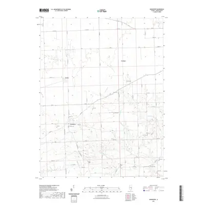
2021 Map of Grandview
USGS Topo · Published 2021About this map
The settlement of Grandview serves as a central hub in this section of Edgar County, surrounded by a high density of small family and community burial grounds that hint at the area's pioneer past. The presence of Cholera Cem north of the village provides a poignant reference to the public health challenges faced by early residents, while other locations like Zimmerly Cem, Hinds Cem, and Augustus Cem offer valuable points for genealogical research.
Find a feature on this map
39 named features on this map. Tap any name to fly to it.
Don’t see what you’re looking for? This feature index may not catch every label — zoom into the map to look around manually.
Map Details
Editions of this 2021 Grandview Map
This is the sole edition of this map. No revisions or reprints were ever made.
Other maps of this area

1932 · Marshall
USGS Topo · 1:62,500

1936 · Casey
USGS Topo · 1:48,000

1937 · Marshall
USGS Topo · 1:62,500

1942 · Casey
USGS Topo · 1:62,500

1943 · Casey
USGS Topo · 1:62,500

1946 · Kansas
USGS Topo · 1:62,500

1947 · Paris
USGS Topo · 1:62,500

1949 · Kansas
USGS Topo · 1:62,500

1949 · Paris
USGS Topo · 1:62,500

1953 · Indianapolis
USGS Topo · 1:250,000