Old Maps of Gibson City, Illinois for Academic Research
Study the evolution of Gibson City with 19 high-resolution historic maps. Whether you're teaching, researching, or modeling changes in land use, these maps provide essential visual documentation of urban, environmental, and geographic change.
- Analyze long-term change: Track patterns in development, transportation, and natural features.
- Ideal for environmental or urban studies: Support academic projects with primary historical map data.
- Use in the classroom or lab: Educators and researchers rely on these maps to bring historical context to life.
These maps are a powerful tool for teaching, research, and visualizing how Gibson City has changed over the decades.
Gibson City, IL maps
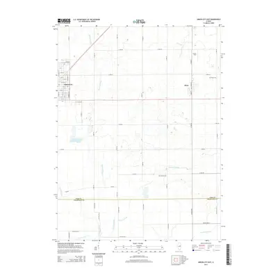
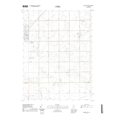
(19)- 1928 Map of Gibson City
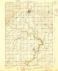 1928 Gibson City1928 Print · USGSCentral Illinois farming life is captured here in the late 1920s, dominated by the major rail junction at Gibson City. Genealogists can locate dozens of country schools like Scotland School and Caledonia School along the Sangamon River.2 unique versions available
 - 1957 Map of Gibson City, 1958 Print
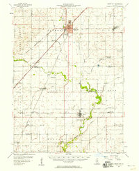 1957 Gibson City1958 Print · USGSMid-century Ford and Champaign Counties are mapped here at the height of the railroad era. Genealogists can trace family names through landmarks like Walker Ch, Oregon Cem, and several schoolhouses like the Mounts Sch or the Blackford Sch.2 unique versions available
 - 1958 Map of Peoria, 1969 Print
 1958 Peoria1969 Print · USGSCentral Illinois thrived as a hub of education and transport during the late sixties, as the new interstate system began to reshape the prairie. Genealogists and historians can trace local landmarks like Springdale Cem, Bradley University, and the sprawling grounds of Chanute AFB.4 unique versions available
 - 1961 Map of Peoria
 1961 Peoria1961 Print · USGSCentral Illinois thrived at the intersection of river trade and rail power during the late fifties. Genealogists and local historians can trace the rail networks of the Illinois Central and Wabash, alongside landmarks like Chanute AFB and Weldon Springs State Park.
 - 1963 Map of Peoria
 1963 Peoria1963 Print · USGSCentral Illinois thrived as a rail and highway crossroads during the early sixties, centered on the bustling Illinois River valley. Genealogists and historians can trace the mid-century layout of Peoria, locate the grounds of Chanute Air Force Base, and follow historic lines like the Toledo Peoria and Western Railway.
 - 1982 Map of Gibson City West, 1983 Print
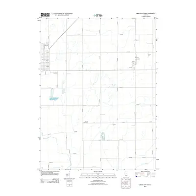
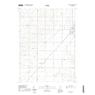
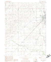 1982 Gibson City West1983 Print · USGSFord County farmland and the rail hub of Gibson City are documented here in the early 1980s. Researchers can locate specific local landmarks like Township Cem, the old Drive-in Theater, and the rural sidings at Harpster.
 - 1983 Map of Gibson City East
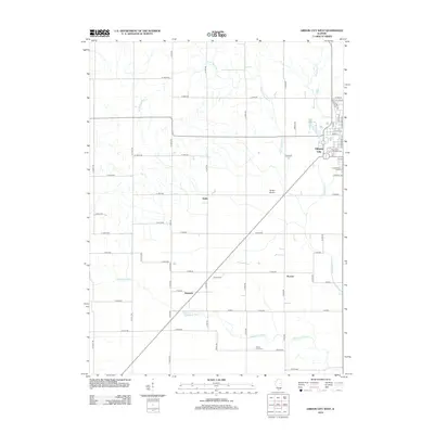
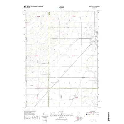
 1983 Gibson City East1983 Print · USGSFord County farmland and the rail crossroads at Gibson City are captured here in the early eighties. Genealogists can locate family sites like Oregon Cem, Pontoppidan Ch, and the village of Elliott along the Norfolk and Western line.
 - 1985 Map of Champaign, 1986 Print
 1985 Champaign1986 Print · USGSThe Illinois prairie comes alive in this mid-eighties survey of the vital rail corridor between Bloomington and Champaign. Genealogists and historians can trace the development of township hubs like Saybrook and Bellflower or locate Chanute Air Force Base and the Sangamon River.2 unique versions available
 - 1990 Map of Peoria
 1990 Peoria1990 Print · USGSCentral Illinois at the start of the nineties reveals a landscape of industrial river towns and sprawling university campuses. Researchers can trace the legacy of major institutions like Chanute Air Force Base and the University of Illinois alongside regional landmarks such as Sand Ridge State Forest.
 - 2012 Map of Gibson City East, 2012 Print
 2012 Gibson City East2012 Print · USGSCovers Gibson City, including Elliott, Champaign County, and other nearby areas
 - 2012 Map of Gibson City West, 2012 Print
 2012 Gibson City West2012 Print · USGSCovers Gibson City, including Harpster, Derby, and other nearby areas
 - 2015 Map of Gibson City East, 2015 Print
 2015 Gibson City East2015 Print · USGSCovers Gibson City, including Elliott, Champaign County, and other nearby areas
 - 2015 Map of Gibson City West, 2015 Print
 2015 Gibson City West2015 Print · USGSCovers Gibson City, including Harpster, Derby, and other nearby areas
 - 2018 Map of Gibson City East, 2018 Print
 2018 Gibson City East2018 Print · USGSCovers Gibson City, including Elliott, Champaign County, and other nearby areas
 - 2018 Map of Gibson City West, 2018 Print
 2018 Gibson City West2018 Print · USGSCovers Gibson City, including Harpster, Derby, and other nearby areas
 - 2021 Map of Gibson City West, 2021 Print
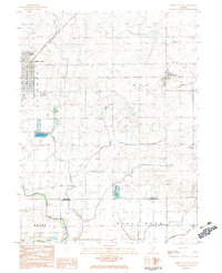
 2021 Gibson City West2021 Print · USGSCovers Gibson City, including Harpster, Derby, and other nearby areas
 - 2021 Map of Gibson City East, 2021 Print
 2021 Gibson City East2021 Print · USGSCovers Gibson City, including Elliott, Champaign County, and other nearby areas
 - 2024 Map of Gibson City West, 2024 Print
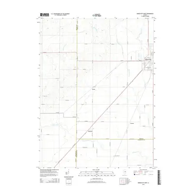
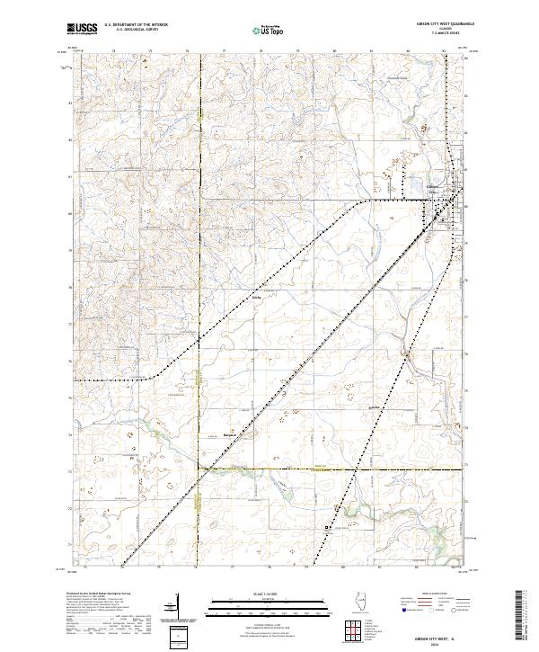 2024 Gibson City West2024 Print · USGSThe fertile prairie of East Central Illinois is captured here at the meeting of Ford, McLean, and Champaign counties. Researchers can trace the layout of small crossroads communities like Derby and Proctor or locate family plots in the Drummer Township Cem.
 - 2024 Map of Gibson City East, 2024 Print
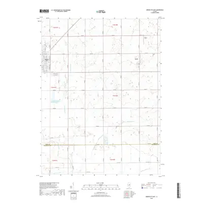
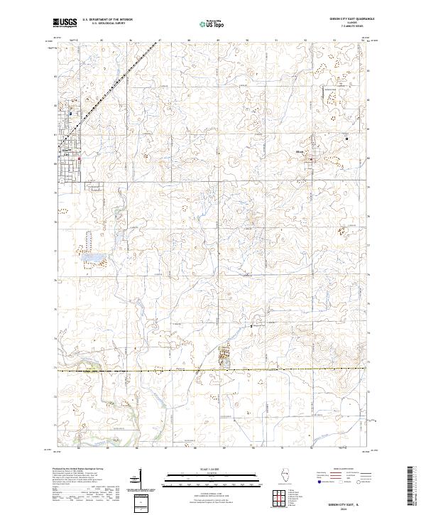 2024 Gibson City East2024 Print · USGSFord County prairie land and the eastern limits of Gibson City are captured in this recent survey. Researchers can trace the winding Sangamon River, locate Oregon Cem, and find local landmarks like Schertz Field and the village of Elliott.
End of results
Showing maps 1-19 of 19
Top cities near Gibson City
- Rantoul historical maps
- Fisher historical maps
- Thomasboro historical maps
- Colfax historical maps
- Saybrook historical maps
- Melvin historical maps
See more
Frequently asked questions
- What are the different types of historical maps available for Gibson City?
- What is the oldest map of Gibson City?
- Where can I purchase historical maps of Gibson City for my home or office?
- Where can I download high-res historical maps of Gibson City?
- Are there historical topographic maps available for Gibson City?
- Is there historical aerial imagery available for Gibson City?
- Where are historical maps of Gibson City sourced from?