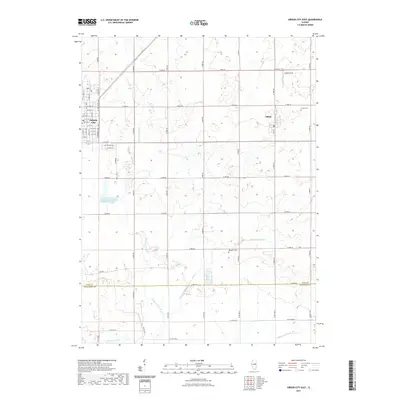
2021 Map of Gibson City East
USGS Topo · Published 2021About this map
Gibson City and the neighboring village of Elliott occupy the northern half of this Central Illinois landscape, defined by a rectilinear grid of agricultural roads and a network of slow-moving waterways. The eastern reaches of Gibson City are charted in detail, showing the street plan from N Church St to S Lawrence Ave, while the village of Elliott sits further east along Main St.
Find a feature on this map
59 named features on this map. Tap any name to fly to it.
Don’t see what you’re looking for? This feature index may not catch every label — zoom into the map to look around manually.
Map Details
Editions of this 2021 Gibson City East Map
This is the sole edition of this map. No revisions or reprints were ever made.
Other maps of this area

1924 · Paxton
USGS Topo · 1:62,500

1927 · Paxton
USGS Topo · 1:62,500

1928 · Gibson City
USGS Topo · 1:62,500

1947 · Sibley
USGS Topo · 1:62,500

1948 · Buckley
USGS Topo · 1:62,500

1949 · Buckley
USGS Topo · 1:62,500

1949 · Paxton
USGS Topo · 1:62,500

1949 · Sibley
USGS Topo · 1:62,500

1957 · Paxton
USGS Topo · 1:62,500

1957 · Gibson City
USGS Topo · 1:62,500