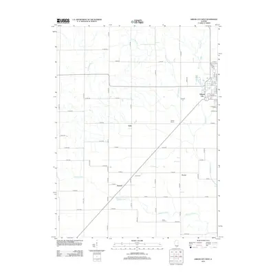
2012 Map of Gibson City West
USGS Topo · Published 2012About this map
The Sangamon River meanders across the southern portion of this landscape, marking a pastoral contrast to the rigid grid of rural roads and the central rail corridor that connects the regional settlements. Gibson City occupies the northeastern corner, serving as the primary hub where local commerce and community memory meet at sites like the Drummer Township Cem. Cultural landmarks such as the Harvest Moon Drive-In represent the 21st-century social character of this Illinois prairie, while the surrounding area remains defined by historic farming outposts.
Find a feature on this map
64 named features on this map. Tap any name to fly to it.
Don’t see what you’re looking for? This feature index may not catch every label — zoom into the map to look around manually.
Map Details
Editions of this 2012 Gibson City West Map
This is the sole edition of this map. No revisions or reprints were ever made.
Other maps of this area

1928 · Gibson City
USGS Topo · 1:62,500

1947 · Sibley
USGS Topo · 1:62,500

1949 · Sibley
USGS Topo · 1:62,500

1952 · Arrowsmith
USGS Topo · 1:62,500

1957 · Gibson City
USGS Topo · 1:62,500

1957 · Colfax
USGS Topo · 1:62,500

1958 · Peoria
USGS Topo · 1:250,000

1961 · Peoria
USGS Topo · 1:250,000

1963 · Peoria
USGS Topo · 1:250,000
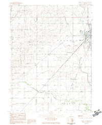
1982 · Gibson City West
USGS Topo · 1:24,000