2020s Maps of Franklin County, Illinois
Explore 38 historic maps of Franklin County from the 2020s. These maps offer a rare glimpse into what life looked like during the 2020s — showing old roads, neighborhoods, homes, and landmarks that have changed or disappeared over time.
Whether you're researching your family's past, planning a metal detecting trip, or studying how Franklin County's landscape evolved across the 2020s, these high-resolution maps are a powerful tool for exploring the history of this region.
- Focus on a specific era: All maps on this page are from the 2020s, giving you a focused view of this time period.
- See what’s changed: Compare century-old streets, trails, and buildings to today's modern landscape using overlays and satellite layers.
- Research with precision: Use these maps for genealogy, historical research, land use analysis, or educational projects.
- View, download, or print: Maps are fully viewable online in high resolution, and can be downloaded or printed for your own records.
Start exploring Franklin County's history through authentic maps from the 2020s. This is your window into the past.
Franklin County, IL maps
(38)- 2021 Map of Sesser, 2021 Print
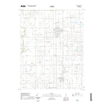 2021 Sesser2021 Print · USGSFranklin County's coal country and rural townships are captured here in the early twenty-first century. Genealogists can locate several family burial grounds including Youngblood Cemetery, Grammer Cemetery, and Bear Point Cemetery.
 - 2021 Map of Dahlgren, 2021 Print
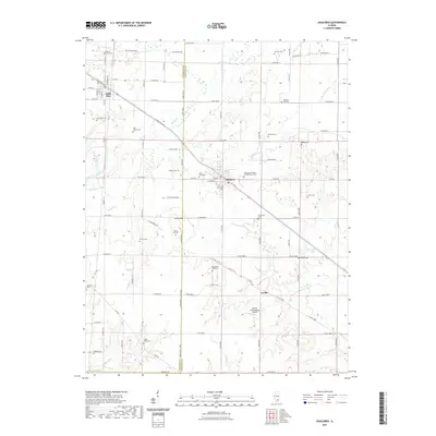 2021 Dahlgren2021 Print · USGSDahlgren and Belle Rive are shown at the turn of the decade, revealing a rural landscape defined by deep-rooted family history. Researchers can trace numerous family and fraternal burial sites including the Wall Family Cem, Four Graves, and the Independent Order of Oddfellows Cem.
 - 2021 Map of Spring Garden, 2021 Print
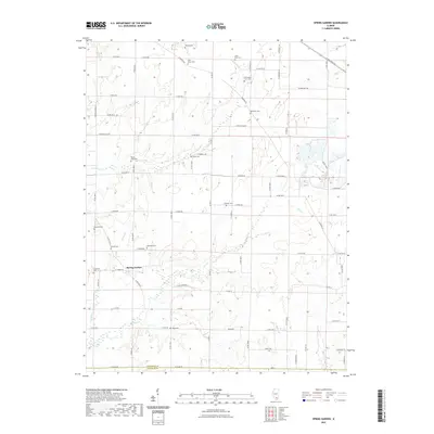 2021 Spring Garden2021 Print · USGSSouthern Illinois farmland is depicted here in the early twenty-first century, showing the rural community of Spring Garden and the JEFFERSON CO line. Genealogists can trace family burial sites across a dozen locations, including McKinney Cem, Hope Cem, and Round Knob Cem.
 - 2021 Map of Macedonia, 2021 Print
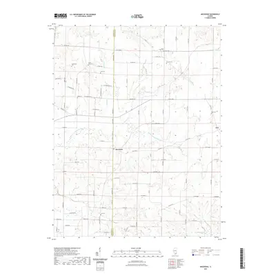 2021 Macedonia2021 Print · USGSSouthern Illinois rural life at the start of the 2020s is defined by the winding Middle Fork Big Muddy River and its bordering farmsteads. Genealogists can trace family roots through several local burial sites including Walnut Grove Cem and Mount Nebo Cem.
 - 2021 Map of Ina, 2021 Print
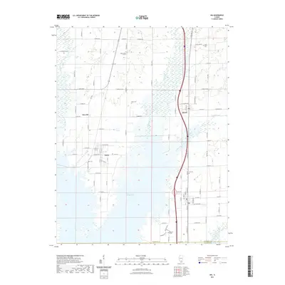 2021 Ina2021 Print · USGSJefferson County in the early 2020s shows a landscape shaped by coal mining history and academic growth. Researchers can trace family roots at Abner Cem or Kirk Cem, and locate the modern campus of Rend Lake College near Ina.
 - 2021 Map of Rend Lake Dam, 2021 Print
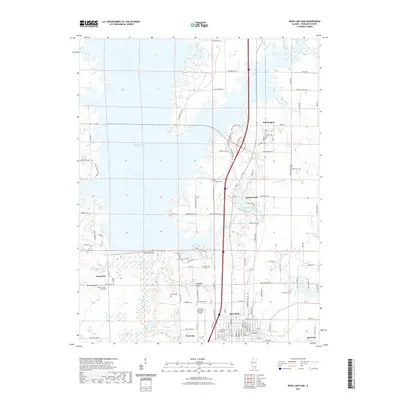 2021 Rend Lake Dam2021 Print · USGSFranklin County is shown here in the 2020s, dominated by the waters of the Big Muddy River and the massive Rend Lake Dam. Researchers can trace local lineage through numerous burial sites like Winemiller Cem and Browning Hill Cem or explore the layout of BENTON and Whittington.
 - 2021 Map of Waltonville, 2021 Print
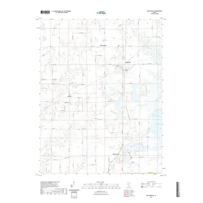 2021 Waltonville2021 Print · USGSJefferson County was well-established by the early twenty-first century, featuring a dense network of rural settlements and family cemeteries. Genealogists can trace local history through sites like Horse Prairie Cem and Stevens Cem, or locate landmarks like the Waltonville PO.
 - 2021 Map of Ewing, 2021 Print
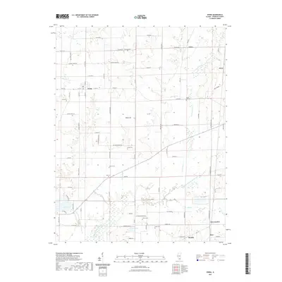 2021 Ewing2021 Print · USGSFranklin County, Illinois, is shown here as it appears today, maintaining its traditional layout of small settlements and river-bottom agriculture. Researchers can locate family landmarks like Thurmond Cem and Phillips Cem or trace the course of the Middle Fork Big Muddy River.
 - 2021 Map of Thompsonville, 2021 Print
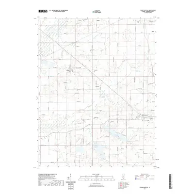 2021 Thompsonville2021 Print · USGSFranklin County's eastern townships are documented here during the early 2020s, showing the settled landscape around Thompsonville. Researchers can trace local heritage through numerous family burial sites such as Jones Cem, Baxter Cem, and Melvin Cem.
 - 2021 Map of Johnston City, 2021 Print
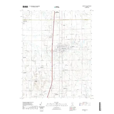 2021 Johnston City2021 Print · USGSSouthern Illinois coal country is documented here in the early twenty-first century, showing the enduring geography between Marion and West Frankfort. Genealogists can trace family landmarks across the landscape, from Spillertown and Shakerag to historic sites like Campground Cem and Huck Cem.
 - 2021 Map of Pittsburg, 2021 Print
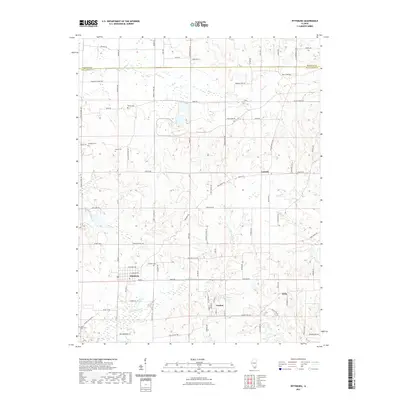 2021 Pittsburg2021 Print · USGSSouthern Illinois at the opening of the 2020s shows a landscape deeply rooted in its agricultural and rural heritage. Researchers can trace family history through numerous local burial sites like Stilley Cem and Harris Cem or explore the hamlets of Paulton and Attila.
 - 2021 Map of Harco, 2021 Print
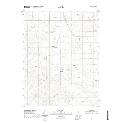 2021 Harco2021 Print · USGSSouthern Illinois coal and river country comes into focus in the early twenty-first century as Galatia and Harco sit at the intersection of three counties. Researchers can trace family history through numerous burial grounds like Old Ruff Cem, Brooks Cem, and the Abney Cem.
 - 2021 Map of West Frankfort, 2021 Print
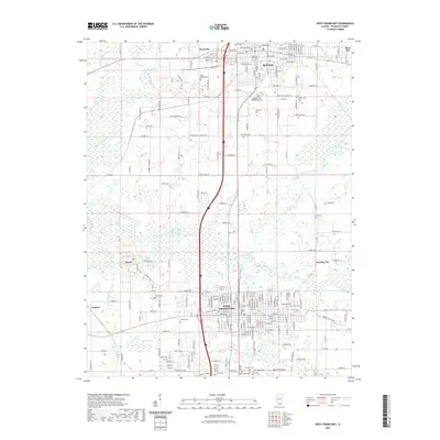 2021 West Frankfort2021 Print · USGSFranklin County's coal-belt communities are shown here at the start of the 2020s, anchored by the urban centers of West Frankfort and Benton. Genealogists can trace local legacies at the County Poor Farm Cem and the Lithuanian Cem.
 - 2021 Map of Akin, 2021 Print
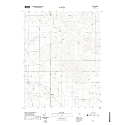 2021 Akin2021 Print · USGSSouthern Illinois at the crossroads of Franklin, Hamilton, and Saline counties reveals a landscape of dispersed farmsteads and rural townships. Researchers can trace ancestral roots at several local burial grounds including Winn Cem, Halltown Cem, and Cardwell Cem.
 - 2021 Map of Christopher, 2021 Print
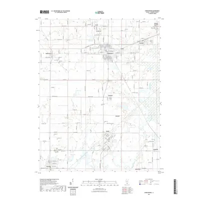 2021 Christopher2021 Print · USGSFranklin County's coal country comes into focus in this recent survey of the settlements surrounding Christopher. Genealogists can trace family history through numerous local sites like Miners Cem, Mulkeytown Cem, and the historic crossroads of Hickory Corners.
 - 2021 Map of De Soto, 2021 Print
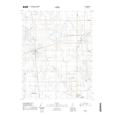 2021 De Soto2021 Print · USGSThe northern fringes of Carbondale and the Big Muddy River valley are captured in this modern survey. Genealogists and local historians can locate several rural burial sites, including De Soto Cem and Howard Cem, alongside the rail-influenced hamlets of Cambria and Reeds Station.
 - 2021 Map of Herrin, 2021 Print
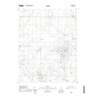 2021 Herrin2021 Print · USGSSouthern Illinois coal country is on display here during the early twenty-first century, showing the dense clustering of communities between Herrin and Carterville. Researchers can trace local lineage across dozens of sites like Hillcrest Cemetery and Hurricane Cemetery.
 - 2021 Map of Elkville, 2021 Print
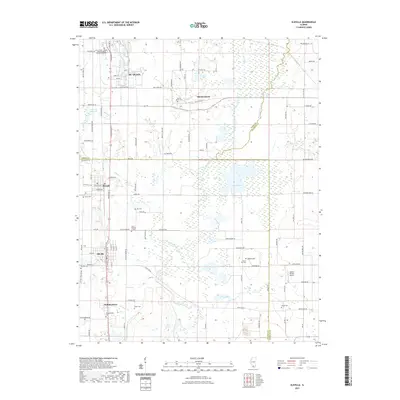 2021 Elkville2021 Print · USGSSouthern Illinois coal and rail towns are captured here in the early twenty-first century as they span the Perry and Jackson county lines. Genealogists and local historians can trace family sites at Old Du Quoin Cem, Hallidayboro, and the rural Dutch Hill Cem.
 - 2021 Map of Du Quoin, 2021 Print
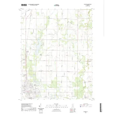 2021 Du Quoin2021 Print · USGSPerry County, Illinois, is captured here in the contemporary era, showing the established grid of agricultural lands and southern settlements. Researchers can locate numerous family burial grounds like Haggard Cem and the Reid - Kirkpatrick Cem near the Little Muddy River.
 - 2024 Map of Christopher, 2024 Print
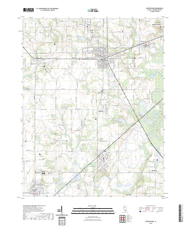 2024 Christopher2024 Print · USGSFranklin County's coal-country legacy is visible in this contemporary survey of the settlements between the Big Muddy River and Christopher. Researchers can trace local heritage through numerous burial sites like Miners Cem and the Old Mulkey Cem.
 - 2024 Map of Elkville, 2024 Print
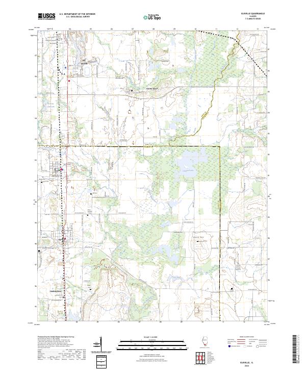 2024 Elkville2024 Print · USGSSouthern Illinois coal and farm country comes into focus here, showing the communities of Elkville and Old Du Quoin. Genealogists can trace family lines through numerous burial sites like Dutch Hill Cem and Hallidayboro Cem along the Little Muddy River.
 - 2024 Map of Pittsburg, 2024 Print
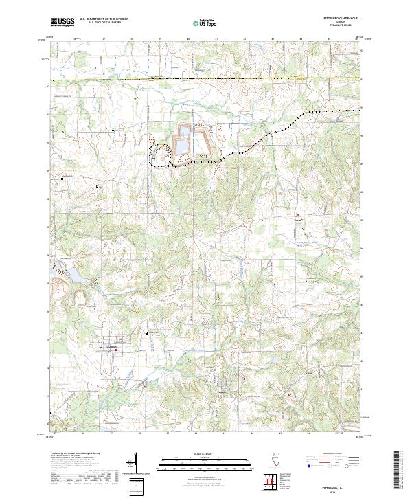 2024 Pittsburg2024 Print · USGSThe rural southern Illinois countryside near the Franklin and Williamson county line comes alive in this contemporary survey. Genealogists can locate several historic burial sites like Stilley Cem and Sanders Cem, or trace local ties to Pittsburg and Corinth.
 - 2024 Map of Ina, 2024 Print
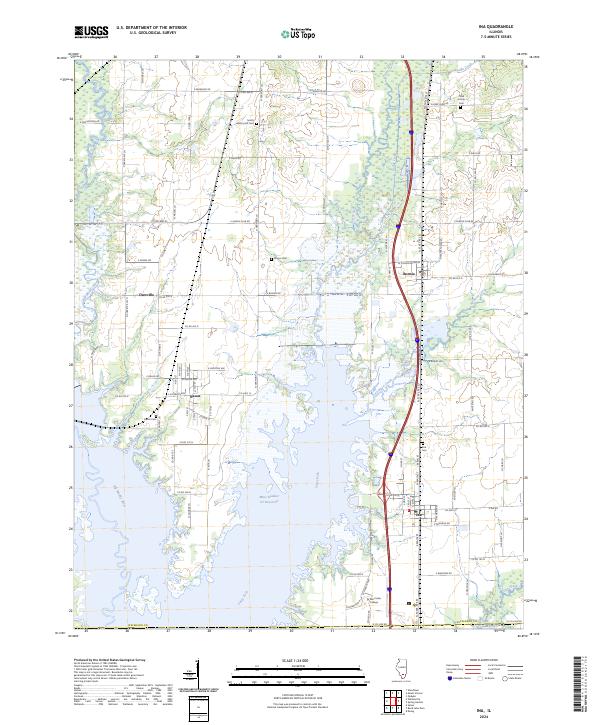 2024 Ina2024 Print · USGSJefferson County in the early twenty-first century is defined by its rural settlements and the expanding reach of the regional reservoir system. Local researchers can trace family sites at Hickory Hill Cem and Abner Cem or locate the historic center of Ina.
 - 2024 Map of Ewing, 2024 Print
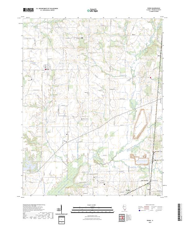 2024 Ewing2024 Print · USGSFranklin County's rural character and family lineages are preserved in this detailed survey of the southern Illinois countryside. Genealogists can trace local history through a high concentration of burial grounds like Ewing Cem, Overturf Cem, and Manion Cem.
 - 2024 Map of Macedonia, 2024 Print
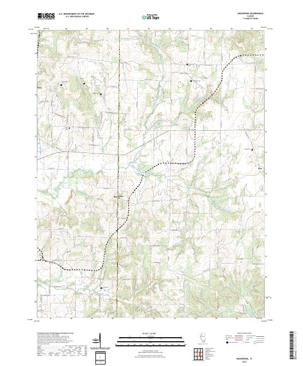 2024 Macedonia2024 Print · USGSSouthern Illinois farmland across the Franklin and Hamilton county line is mapped here in its contemporary state. Genealogists and local historians can trace rural burial grounds like Mount Nebo Cem and Atchisson Cem along the Middle Fork Big Muddy River.
Showing maps 1-25 of 38
Top cities of Franklin County
- West Frankfort historical maps
- Benton historical maps
- Christopher historical maps
- Sesser historical maps
- Zeigler historical maps
- Royalton historical maps
See more
Frequently asked questions
- What are the different types of historical maps available for Franklin County?
- What is the oldest map of Franklin County?
- Where can I purchase historical maps of Franklin County for my home or office?
- Where can I download high-res historical maps of Franklin County?
- Are there historical topographic maps available for Franklin County?
- Is there historical aerial imagery available for Franklin County?
- Where are historical maps of Franklin County sourced from?