2000s (21st Century) Maps of Fulton County, Illinois
Explore 120 historic maps of Fulton County from the 2000s (21st Century). These maps offer a rare glimpse into what life looked like during the 2000s — showing old roads, neighborhoods, homes, and landmarks that have changed or disappeared over time.
Whether you're researching your family's past, planning a metal detecting trip, or studying how Fulton County's landscape evolved across the 2000s, these high-resolution maps are a powerful tool for exploring the history of this region.
- Focus on a specific era: All maps on this page are from the 2000s, giving you a focused view of this time period.
- See what’s changed: Compare century-old streets, trails, and buildings to today's modern landscape using overlays and satellite layers.
- Research with precision: Use these maps for genealogy, historical research, land use analysis, or educational projects.
- View, download, or print: Maps are fully viewable online in high resolution, and can be downloaded or printed for your own records.
Start exploring Fulton County's history through authentic maps from the 2000s. This is your window into the past.
Fulton County, IL maps
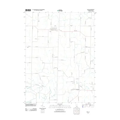
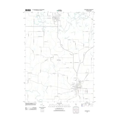
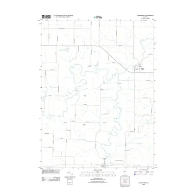
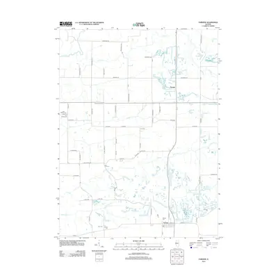
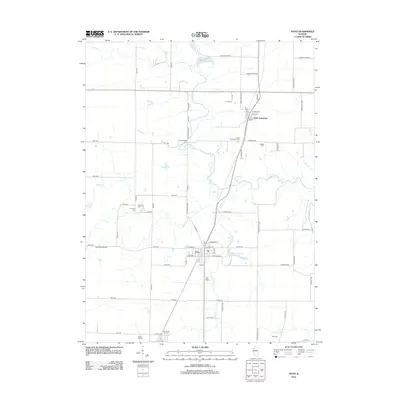
(120)- 2012 Map of Blyton, 2012 Print
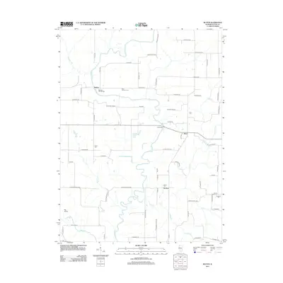 2012 Blyton2012 Print · USGSCovers Fulton County, including Ellisville, Blyton, and other nearby areas
 - 2012 Map of Duncan Mills, 2012 Print
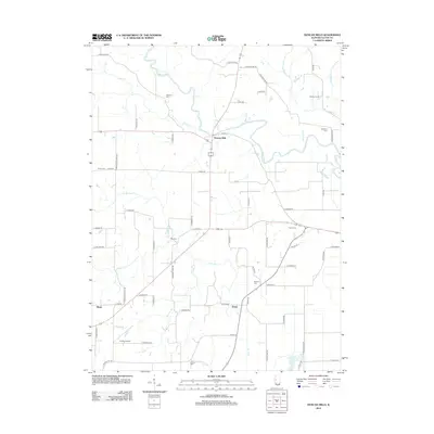 2012 Duncan Mills2012 Print · USGSCovers Fulton County, including Duncan Mills, Enion, and other nearby areas
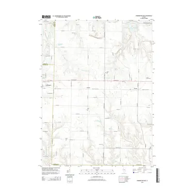
 - 2012 Map of Farmington West, 2012 Print
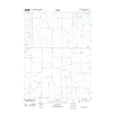
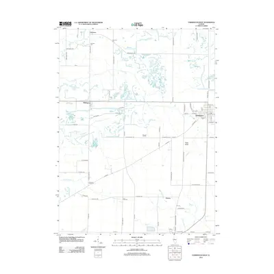 2012 Farmington West2012 Print · USGSCovers Fulton County, including Farmington, Norris, and other nearby areas
 - 2012 Map of Ipava, 2012 Print
 2012 Ipava2012 Print · USGSCovers Fulton County, including Ipava, Howard, and other nearby areas
 - 2012 Map of Lewistown, 2012 Print
 2012 Lewistown2012 Print · USGSCovers Fulton County, including Lewistown, Cuba, and other nearby areas
 - 2012 Map of Vermont, 2012 Print
 2012 Vermont2012 Print · USGSCovers Fulton County, including Vermont, Table Grove, and other nearby areas
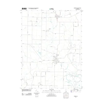
 - 2012 Map of Smithfield, 2012 Print
 2012 Smithfield2012 Print · USGSCovers Fulton County, including Smithfield, Bernadotte, and other nearby areas
 - 2012 Map of Astoria, 2012 Print
 2012 Astoria2012 Print · USGSCovers Fulton County, including Astoria, Browning, and other nearby areas
 - 2012 Map of London Mills, 2012 Print
 2012 London Mills2012 Print · USGSCovers Fulton County, including Ellisville, London Mills, and other nearby areas
 - 2012 Map of Ray, 2012 Print
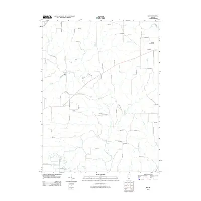 2012 Ray2012 Print · USGSCovers Fulton County, including Browning, Ray, and other nearby areas
 - 2012 Map of Fiatt, 2012 Print
 2012 Fiatt2012 Print · USGSCovers Fulton County, including Fiatt, Bybee, and other nearby areas
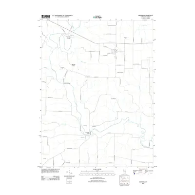
 - 2012 Map of Adair, 2012 Print
 2012 Adair2012 Print · USGSCovers Fulton County, including Marietta, New Philadelphia, and other nearby areas
 - 2012 Map of Fairview, 2012 Print
 2012 Fairview2012 Print · USGSCovers Fulton County, including Fairview, Rapatee, and other nearby areas
 - 2012 Map of Bushnell East, 2012 Print
 2012 Bushnell East2012 Print · USGSCovers Fulton County, including Bushnell, Prairie City, and other nearby areas
 - 2012 Map of Saint David, 2012 Print
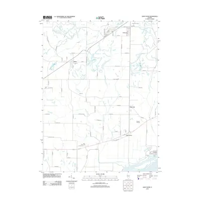 2012 Saint David2012 Print · USGSCovers Fulton County, including Dunfermline, Bryant, and other nearby areas
 - 2012 Map of Canton, 2012 Print
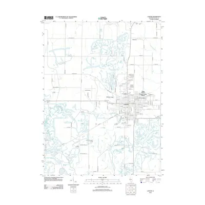 2012 Canton2012 Print · USGSCovers Fulton County, including Canton, Norris, and other nearby areas
 - 2012 Map of Avon, 2012 Print
 2012 Avon2012 Print · USGSCovers Fulton County, including Avon, Prairie City, and other nearby areas
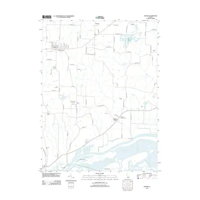
 - 2012 Map of Havana, 2012 Print
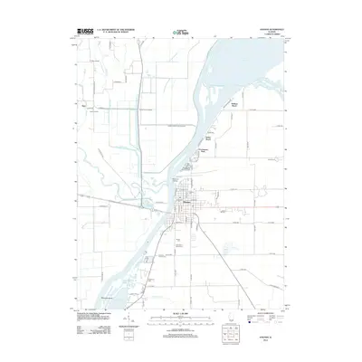 2012 Havana2012 Print · USGSCovers Fulton County, including Havana, Chautauqua Park, and other nearby areas
 - 2012 Map of Kilbourne, 2012 Print
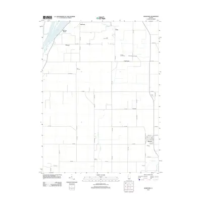 2012 Kilbourne2012 Print · USGSCovers Fulton County, including Kilbourne, Matanzas Beach, and other nearby areas
 - 2012 Map of Bath, 2012 Print
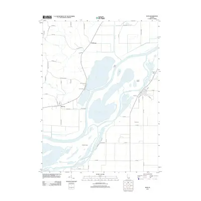 2012 Bath2012 Print · USGSCovers Fulton County, including Bath, Marbletown, and other nearby areas
 - 2012 Map of Farmington East, 2012 Print
 2012 Farmington East2012 Print · USGSCovers Fulton County, including Farmington, Trivoli, and other nearby areas
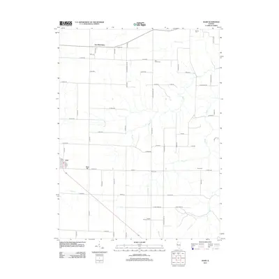
 - 2012 Map of Banner, 2012 Print
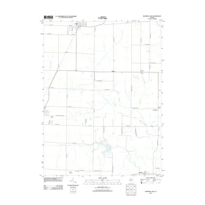
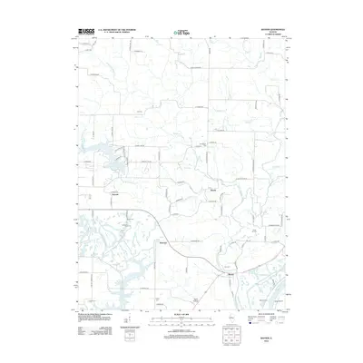 2012 Banner2012 Print · USGSCovers Fulton County, including Canton, Banner, and other nearby areas
 - 2012 Map of Glasford, 2012 Print
 2012 Glasford2012 Print · USGSCovers Fulton County, including Glasford, Kingston Mines, and other nearby areas
 - 2012 Map of Duck Island, 2012 Print
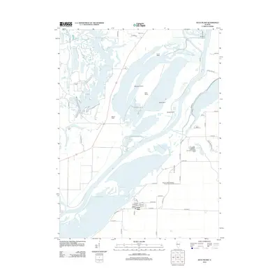 2012 Duck Island2012 Print · USGSCovers Fulton County, including Liverpool, Goofy Ridge, and other nearby areas
 - 2015 Map of Farmington East, 2015 Print
 2015 Farmington East2015 Print · USGSCovers Fulton County, including Farmington, Trivoli, and other nearby areas
Showing maps 1-25 of 120
Top cities of Fulton County
- Canton historical maps
- Farmington historical maps
- Lewistown historical maps
- Cuba historical maps
- Astoria historical maps
- Avon historical maps
See more
Frequently asked questions
- What are the different types of historical maps available for Fulton County?
- What is the oldest map of Fulton County?
- Where can I purchase historical maps of Fulton County for my home or office?
- Where can I download high-res historical maps of Fulton County?
- Are there historical topographic maps available for Fulton County?
- Is there historical aerial imagery available for Fulton County?
- Where are historical maps of Fulton County sourced from?