2020s Maps of Fulton County, Illinois
Explore 48 historic maps of Fulton County from the 2020s. These maps offer a rare glimpse into what life looked like during the 2020s — showing old roads, neighborhoods, homes, and landmarks that have changed or disappeared over time.
Whether you're researching your family's past, planning a metal detecting trip, or studying how Fulton County's landscape evolved across the 2020s, these high-resolution maps are a powerful tool for exploring the history of this region.
- Focus on a specific era: All maps on this page are from the 2020s, giving you a focused view of this time period.
- See what’s changed: Compare century-old streets, trails, and buildings to today's modern landscape using overlays and satellite layers.
- Research with precision: Use these maps for genealogy, historical research, land use analysis, or educational projects.
- View, download, or print: Maps are fully viewable online in high resolution, and can be downloaded or printed for your own records.
Start exploring Fulton County's history through authentic maps from the 2020s. This is your window into the past.
Fulton County, IL maps
(48)- 2021 Map of Farmington East, 2021 Print
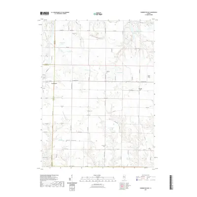 2021 Farmington East2021 Print · USGSThe rural prairie between Farmington and Trivoli is documented here in the early twenty-first century. Family history researchers can locate several burial sites including Parker Cem, Concord Cem, and Penn Ridge Cem.
 - 2021 Map of Farmington West, 2021 Print
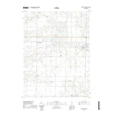 2021 Farmington West2021 Print · USGSFarmington and the surrounding Fulton County rural townships are shown here as they appeared in the early 2020s. Researchers can trace ancestral sites at Providence Chapel Cem and Oak Ridge Cem or locate the small settlements of Middlegrove and Gilchrist.
 - 2021 Map of London Mills, 2021 Print
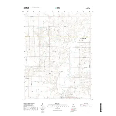 2021 London Mills2021 Print · USGSThe Spoon River valley at the border of Knox and Fulton counties remains a landscape of winding watercourses and deep-rooted family history. Researchers can trace land ties and local ancestry through numerous sites like Ellisville Cem, Haney Hill, and the village of London Mills.
 - 2021 Map of Avon, 2021 Print
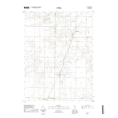 2021 Avon2021 Print · USGSThe rural borders of Fulton and Warren counties appear here in the early twenty-first century as agricultural towns remain centered on the prairie. Researchers can trace local lineages through numerous burial sites like Old Prairie City Cem, Babbitt Cem, and Hunt Cem.
 - 2021 Map of Lewistown, 2021 Print
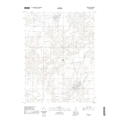 2021 Lewistown2021 Print · USGSIn the early twenty-first century, this Fulton County landscape remains centered on Lewistown and its surrounding agricultural reaches. Researchers can trace family history through a dozen rural burial sites, including Providence Cem and Oak Hill Cem, or explore the terrain around Spoon River.
 - 2021 Map of Saint David, 2021 Print
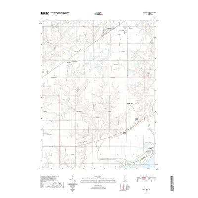 2021 Saint David2021 Print · USGSThe Illinois River valley and its rural uplands are captured in this modern survey of Fulton County. Genealogists and historians can locate numerous family burial grounds like Salem Wilcoxen Cem and traces of settlement at Little America or Maples Mill.
 - 2021 Map of Ray, 2021 Print
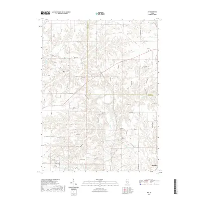 2021 Ray2021 Print · USGSSchuyler and Fulton Counties appear in the early 2020s, showing a landscape defined by the deep hollows of Scab Hollow and the winding Sugar Creek. Genealogists can trace numerous family burial sites such as Salem Cem, Gorsuch Cem, and Tracy Cem.
 - 2021 Map of Fairview, 2021 Print
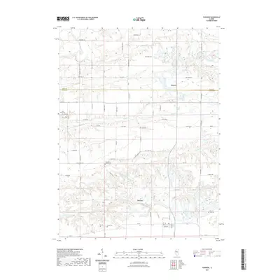 2021 Fairview2021 Print · USGSFairview and the rural borderlands of Fulton and Knox counties are shown here in the early 2020s. Genealogists and local historians can trace a high concentration of burial sites, from the Coal Creek Lutheran Cem and Beer Cem to landmarks like Keystone Anglers Club Lake.
 - 2021 Map of Bushnell East, 2021 Print
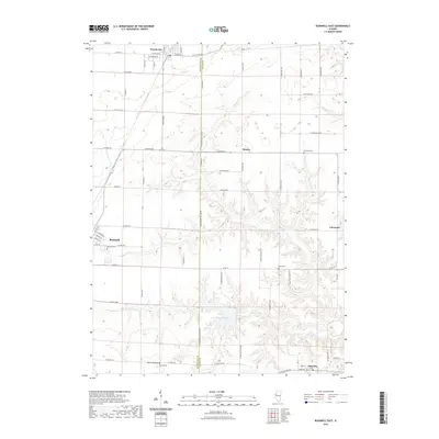 2021 Bushnell East2021 Print · USGSSpanning the McDonough and Fulton county line in the early 2020s, this area shows a landscape of productive farms and quiet settlements. Genealogists can locate family sites near Dyers Mound, Guernsey Cem, or the rural community of Checkrow.
 - 2021 Map of Banner, 2021 Print
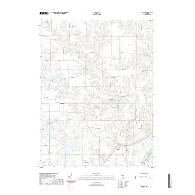 2021 Banner2021 Print · USGSFulton County south of Canton is shown here in the 2020s, where the prairie uplands give way to the deep ravines of the Copperas Creek system. Researchers can locate numerous historic family burial grounds like Wolfe and Bybee cemeteries or trace the settlements of Monterey and Breeds.
 - 2021 Map of Ipava, 2021 Print
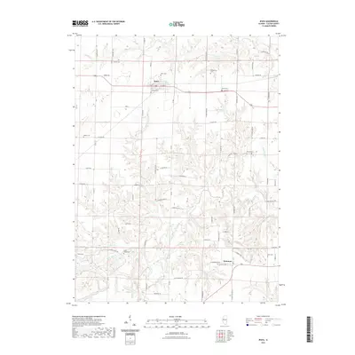 2021 Ipava2021 Print · USGSFulton County agriculture and rural life are preserved here in the early twenty-first century, centered on the villages of Ipava and Summum. Genealogists can locate numerous family and community burial sites, including the Old Ipava Cem, Union Chapel Cem, and the Quaker Cem.
 - 2021 Map of Bath, 2021 Print
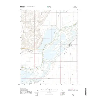 2021 Bath2021 Print · USGSThe Illinois River valley in Mason County shows a complex network of backwater lakes and river islands in the early twenty-first century. Researchers can trace the layout of Bath, explore the riverbank near Snicarte Island, or locate the Bluff City Cem on the western bluffs.
 - 2021 Map of Astoria, 2021 Print
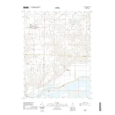 2021 Astoria2021 Print · USGSFulton County's river-bottom landscapes and upland settlements come into focus in this recent survey. Researchers can trace family roots through several rural burial grounds like Mount Zion Cem and Price Cem, or explore the backwaters of Ingram Lake.
 - 2021 Map of Fiatt, 2021 Print
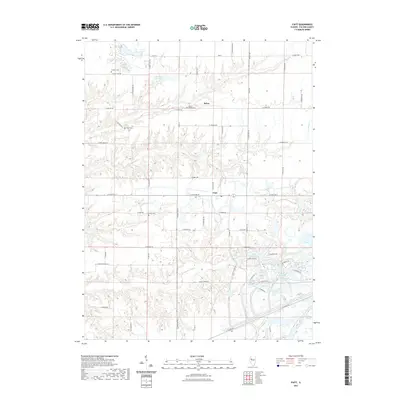 2021 Fiatt2021 Print · USGSFulton County land use and rural settlements are shown here during the early 2020s. Genealogists and local historians can trace family locations near Fiatt and Bybee, or locate burial sites like Dickson Cem and the Fiatt Cem.
 - 2021 Map of Kilbourne, 2021 Print
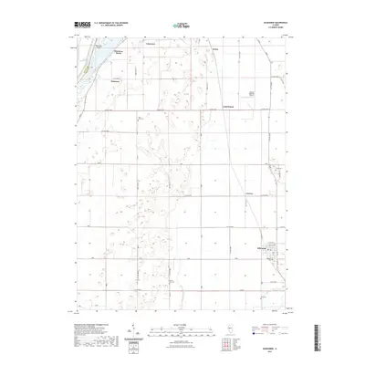 2021 Kilbourne2021 Print · USGSSettlements along the Illinois River valley are documented here in the early twenty-first century. Genealogists can locate several burial grounds like Saint Johns Cem and Jones Cem, or trace the residential streets of Kilbourne and Matanzas Beach.
 - 2021 Map of Havana, 2021 Print
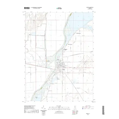 2021 Havana2021 Print · USGSHavana sits at a major Illinois River bend in the early 2020s, serving as a hub for river commerce and local government. Family historians can trace numerous rural burial grounds like Laurel Hill Cem and Neteler Cem or locate the Mason County Courthouse.
 - 2021 Map of Smithfield, 2021 Print
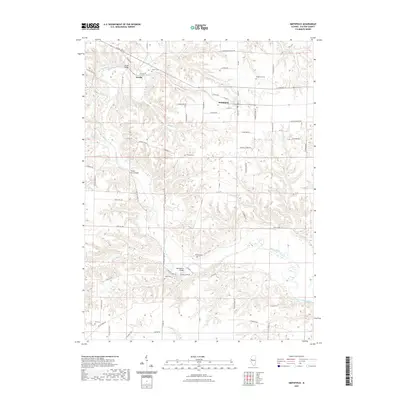 2021 Smithfield2021 Print · USGSFulton County agricultural life and river crossings are captured here in the early twenty-first century. Researchers can trace family history through numerous rural burial sites like Baughman Cem and Stites Cem, or locate crossings at Bernadotte Bridge.
 - 2021 Map of Blyton, 2021 Print
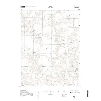 2021 Blyton2021 Print · USGSFulton County agricultural lands and river valleys are captured here in the early twenty-first century. Researchers can locate several burial grounds and community centers, including Sinnett Chapel, Henderson Cem, and the small settlement of Babylon along the Spoon River.
 - 2021 Map of Canton, 2021 Print
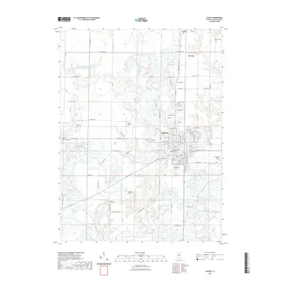 2021 Canton2021 Print · USGSCanton and its surrounding Fulton County townships are captured here during a period of established local industry and institutional growth. Researchers can locate numerous family-history landmarks, from Shields Chapel Cem to the Graham Hospital School of Nursing.
 - 2021 Map of Adair, 2021 Print
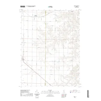 2021 Adair2021 Print · USGSThe McDonough and Fulton county line comes alive in this contemporary record of West Central Illinois. Genealogists and local historians can trace family locations near Marietta Cem, Point Pleasant Cem, and the small settlement of Adair.
 - 2021 Map of Vermont, 2021 Print
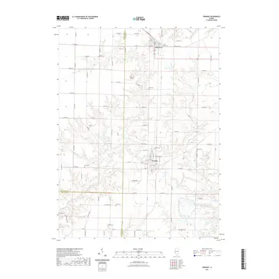 2021 Vermont2021 Print · USGSFulton County and the surrounding tri-county area are shown in this contemporary study of Vermont and Table Grove. Genealogists and historians can locate numerous small cemeteries including Miles Cem, Bailey Cem, and Easley Cem tucked among the hills of Sugar Cr.
 - 2021 Map of Duncan Mills, 2021 Print
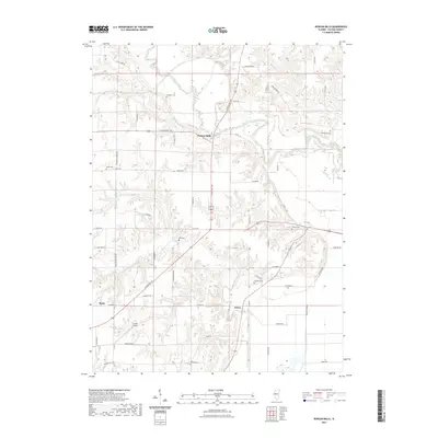 2021 Duncan Mills2021 Print · USGSThe rural landscape of Fulton County is shown here in the 2020s, centered on the historic Spoon River crossing. Genealogists can trace numerous local burial sites including Smith Cem, Otto Cem, and Kearney Cem near the river bluffs.
 - 2021 Map of Duck Island, 2021 Print
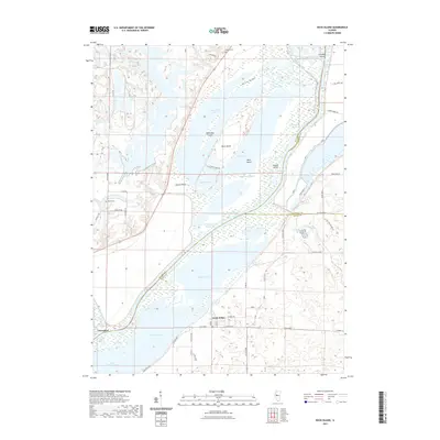 2021 Duck Island2021 Print · USGSThe Illinois River floodplain is revealed in detail here as it appeared in 2021, showing the intricate wetlands between Fulton and Mason Counties. Researchers can trace local landmarks like Liverpool, Pollitt Cem, and the uniquely named settlement of Goofy Ridge.
 - 2021 Map of Glasford, 2021 Print
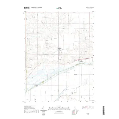 2021 Glasford2021 Print · USGSPeoria County's river bluffs and bottomlands are mapped here in the early 2020s, showing the historical footprint of valley towns and rural cemeteries. Genealogists can locate Union and Lancaster cemeteries or trace the riverfront at Kingston Mines and Coon Hollow Island.
 - 2024 Map of Banner, 2024 Print
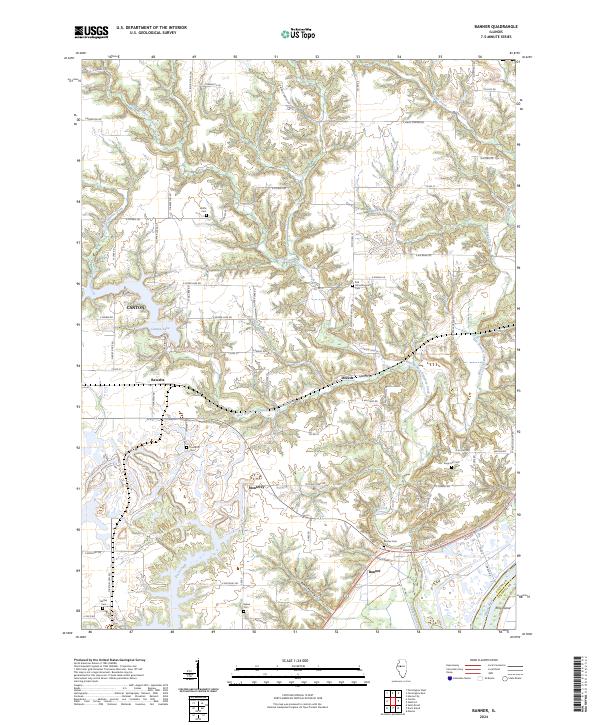 2024 Banner2024 Print · USGSEastern Fulton County is documented here in the early twenty-first century, showing the rural bluffs above the Illinois River. Genealogists can locate numerous local burial sites like Kings Hill Cem and Banner Cem, or trace the winding waters of Wildcat Creek.
Showing maps 1-25 of 48
Top cities of Fulton County
- Canton historical maps
- Farmington historical maps
- Lewistown historical maps
- Cuba historical maps
- Astoria historical maps
- Avon historical maps
See more
Frequently asked questions
- What are the different types of historical maps available for Fulton County?
- What is the oldest map of Fulton County?
- Where can I purchase historical maps of Fulton County for my home or office?
- Where can I download high-res historical maps of Fulton County?
- Are there historical topographic maps available for Fulton County?
- Is there historical aerial imagery available for Fulton County?
- Where are historical maps of Fulton County sourced from?