2010s Maps of Fulton County, Illinois
Explore 72 historic maps of Fulton County from the 2010s. These maps offer a rare glimpse into what life looked like during the 2010s — showing old roads, neighborhoods, homes, and landmarks that have changed or disappeared over time.
Whether you're researching your family's past, planning a metal detecting trip, or studying how Fulton County's landscape evolved across the 2010s, these high-resolution maps are a powerful tool for exploring the history of this region.
- Focus on a specific era: All maps on this page are from the 2010s, giving you a focused view of this time period.
- See what’s changed: Compare century-old streets, trails, and buildings to today's modern landscape using overlays and satellite layers.
- Research with precision: Use these maps for genealogy, historical research, land use analysis, or educational projects.
- View, download, or print: Maps are fully viewable online in high resolution, and can be downloaded or printed for your own records.
Start exploring Fulton County's history through authentic maps from the 2010s. This is your window into the past.
Fulton County, IL maps
(72)- 2012 Map of Blyton, 2012 Print
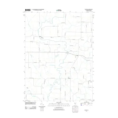 2012 Blyton2012 Print · USGSFulton County agricultural lands and the meandering Spoon River are captured here in the early twenty-first century. Researchers can locate family landmarks such as the Blout Centennial Farm and historic burial sites like Buckeye Cem and Henderson Cem.
 - 2012 Map of Duncan Mills, 2012 Print
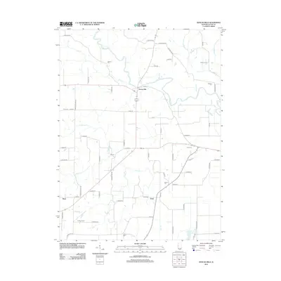 2012 Duncan Mills2012 Print · USGSCentral Illinois river country comes into focus in this modern survey of the Spoon River valley. Local historians and researchers can trace the rural layouts of Duncan Mills, Enion, and the agricultural lands of Atchley Farms as they appeared a decade ago.
 - 2012 Map of Farmington West, 2012 Print
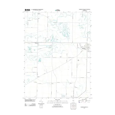 2012 Farmington West2012 Print · USGSThe rural landscape around Farmington is captured here in the early twenty-first century, showing a region defined by agricultural grids and small settlements. Researchers can locate family roots at Oak Ridge Cem, Hill Cem, or the small community of Middlegrove.
 - 2012 Map of Ipava, 2012 Print
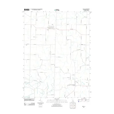 2012 Ipava2012 Print · USGSFulton County agricultural lands are captured here during the early 2010s, showing a landscape deeply shaped by its cemeteries and rural townships. Genealogists can locate numerous family and community sites, including Union Chapel Cem, Danner Cem, and the settlement of Summum.
 - 2012 Map of Lewistown, 2012 Print
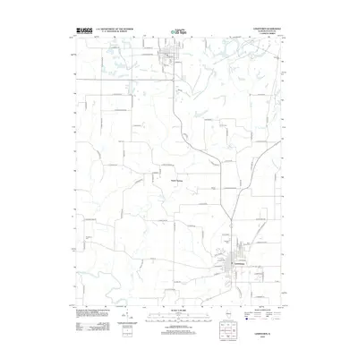 2012 Lewistown2012 Print · USGSLewistown and the surrounding Fulton County prairie are captured here in the early twenty-first century. Genealogists can locate numerous local burial sites including Oak Hill Cem, Saunders Cem, and Providence Cem along the winding Spoon River.
 - 2012 Map of Vermont, 2012 Print
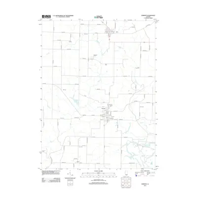 2012 Vermont2012 Print · USGSThe village of Vermont and its surrounding Fulton County countryside are captured here in the early twenty-first century. Genealogists and local historians can trace numerous rural burial sites including Union Chapel Cem, Harris Cem, and Foster Point Cem.
 - 2012 Map of Smithfield, 2012 Print
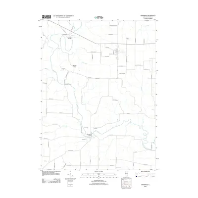 2012 Smithfield2012 Print · USGSFulton County's river-bottom lands and upland prairies are documented here in the early twenty-first century. Researchers can trace ancestral sites and rural infrastructure through numerous landmarks like Fuller Cem, Seville, and the historic Bernadotte Bridge.
 - 2012 Map of Astoria, 2012 Print
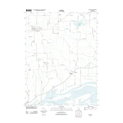 2012 Astoria2012 Print · USGSThe Illinois River floodplain and the farming town of Astoria define this corner of Fulton County in the early twenty-first century. Genealogists can trace several historic burial grounds including the Old Order Baptist Brethren Cem, Summum Sixteen Cem, and Woodland Cem.
 - 2012 Map of London Mills, 2012 Print
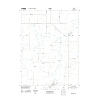 2012 London Mills2012 Print · USGSLondon Mills and Ellisville flank the winding Spoon River in this 2012 portrait of rural Illinois. Genealogists and historians can trace family burial sites like Landon Cem and Heartley Cem or locate the historic river crossing at Indian Ford.
 - 2012 Map of Ray, 2012 Print
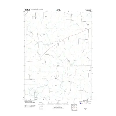 2012 Ray2012 Print · USGSSchuyler County at the start of the 2010s reveals a landscape defined by its rural settlements and extensive family history sites. Genealogists can trace local roots through numerous landmarks like Pittenger Cem, Bader Cem, and the village of Ray.
 - 2012 Map of Fiatt, 2012 Print
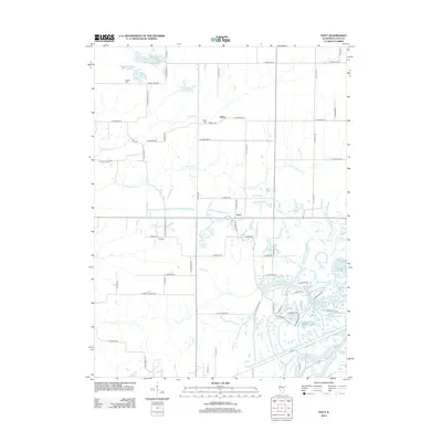 2012 Fiatt2012 Print · USGSFulton County agriculture and intricate water systems meet in the early twenty-first century. Genealogists and local researchers can trace family plots at Fiatt Cem and Bybee Cem, or explore the many fingers of Lake Wee-Ma-Tuk.
 - 2012 Map of Adair, 2012 Print
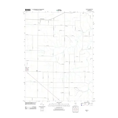 2012 Adair2012 Print · USGSThe rural prairie of Fulton County is captured here in the early twenty-first century, showing a landscape defined by generational agriculture. Researchers can trace the legacy of family lands at Hughes Centennial Farm or explore the sites of Shoo Fly and Marietta Cem.
 - 2012 Map of Fairview, 2012 Print
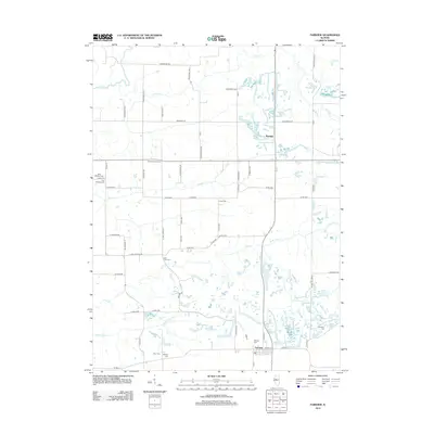 2012 Fairview2012 Print · USGSThe Fulton County countryside around Fairview and Rapatee is shown in this 2012 survey during a period of modern rural continuity. Researchers can locate numerous local burial sites like Shumaker Cem, Markley Cem, and Beer Cem along the winding banks of Coal Creek.
 - 2012 Map of Bushnell East, 2012 Print
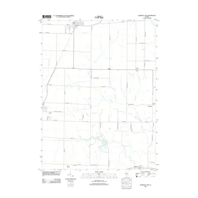 2012 Bushnell East2012 Print · USGSAgricultural Illinois at the start of the 2010s reveals a landscape of enduring rural communities and family-named landmarks. Genealogists and local researchers can trace the locations of several burial grounds, including Bushnell City Cem, Barnes Cem, and Mound Cem.
 - 2012 Map of Saint David, 2012 Print
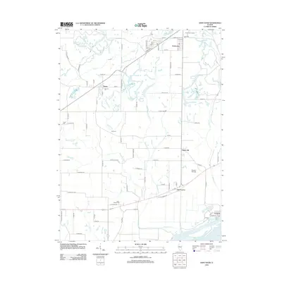 2012 Saint David2012 Print · USGSCentral Illinois river country comes into focus as the Illinois River flows past the established landing at Liverpool. Trace family roots and local history through numerous burial grounds like Maryville Cem and Mount Pleasant Cem, or explore landmarks like the Tampico Mounds.
 - 2012 Map of Canton, 2012 Print
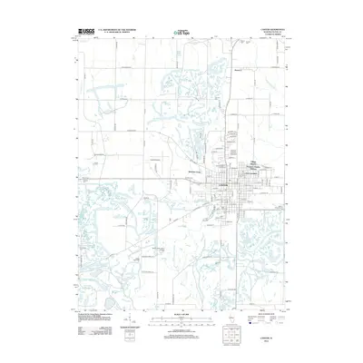 2012 Canton2012 Print · USGSCanton and the northern reaches of Fulton County are shown in the early twenty-first century as a landscape of established neighborhoods and unique water features. Genealogists and local historians can locate many local burial sites like Shields Chapel Cem and White Chapel Cem or trace the development of Westview Acres.
 - 2012 Map of Avon, 2012 Print
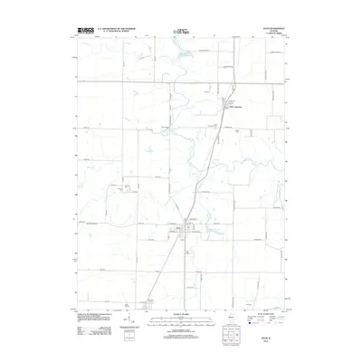 2012 Avon2012 Print · USGSThe Illinois prairie around the turn of the twenty-first century reveals a deeply rooted rural landscape. Genealogists can trace family histories through numerous local burial sites like Hunt Cem, Babbitt Cem, and Old Prairie City Cem.
 - 2012 Map of Havana, 2012 Print
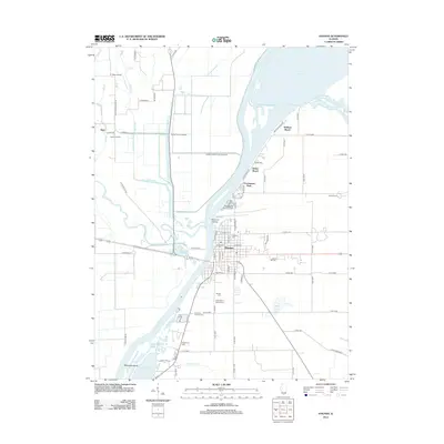 2012 Havana2012 Print · USGSHavana and the surrounding Mason County riverlands are shown here in the early twenty-first century, centered on the Illinois River. Researchers can trace local lineage through numerous sites like Saint Mary's Catholic Cem, Fullerton Cem, and the ancient Ogden Mounds.
 - 2012 Map of Kilbourne, 2012 Print
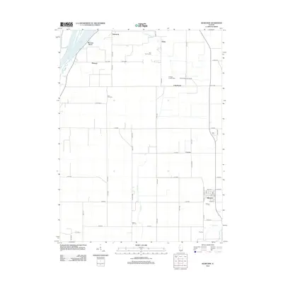 2012 Kilbourne2012 Print · USGSMason County’s riverfront and agricultural heartland are captured here during the early twenty-first century. Genealogists and local historians can trace the positions of several community landmarks, including Saint Johns Cem, Kilbourne Cem, and the Mid-State Dragway.
 - 2012 Map of Bath, 2012 Print
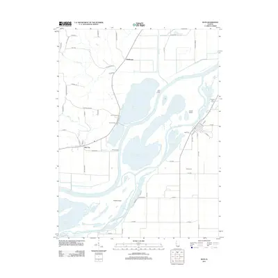 2012 Bath2012 Print · USGSThe Illinois River valley in Mason County appears here in the early 2010s, showing a landscape defined by massive river islands and floodplain lakes. Researchers can trace local landmarks like Bath Cem and the small settlements of Bluff City and Marbletown.
 - 2012 Map of Farmington East, 2012 Print
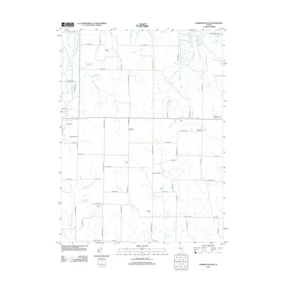 2012 Farmington East2012 Print · USGSThe rural landscapes of Fulton and Peoria Counties are captured here at a time when traditional agricultural patterns met modern infrastructure. Local historians can trace family roots through several burial sites like Trivoli Cem and Parker Cem or locate regional landmarks like the Gordon Brown Airport.
 - 2012 Map of Banner, 2012 Print
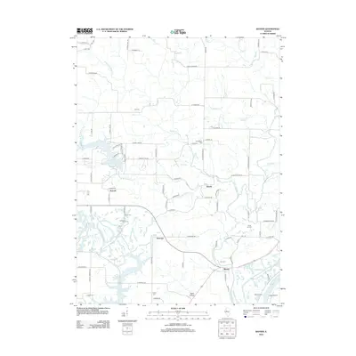 2012 Banner2012 Print · USGSFulton County agricultural lands and river bottoms are captured here in the early twenty-first century as they meet the Illinois River. Genealogists and local historians can locate numerous family burial sites such as Bybee Cem and Utica Cem or trace the early foundations of Rawalts and Banner.
 - 2012 Map of Glasford, 2012 Print
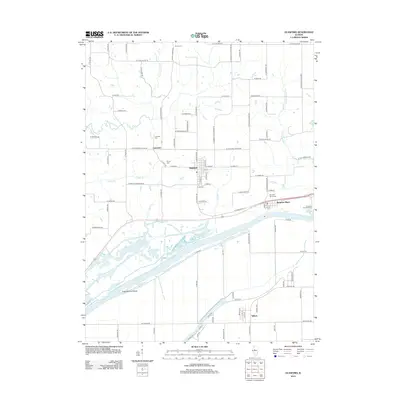 2012 Glasford2012 Print · USGSPeoria County’s riverfront and upland prairies are captured here just after the turn of the millennium. Researchers can trace family sites and local landmarks from Kingston Mines to Glasford, including Lancaster Cem and the complex waterways of Redbird Slough.
 - 2012 Map of Duck Island, 2012 Print
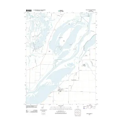 2012 Duck Island2012 Print · USGSThe Illinois River bottomlands near Goofy Ridge are shown here in the early twenty-first century, featuring a dense network of sloughs and islands. Researchers can locate Walnut Cem, the Jake Wolf Fish Hatchery, and the private Shissler Seed Company Incorporated Airport.
 - 2015 Map of Farmington East, 2015 Print
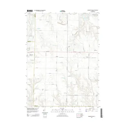 2015 Farmington East2015 Print · USGSThe rural borderlands of Fulton and Peoria counties are shown here in the mid-2010s, centered on the intersection of farming and local aviation. Trace the Hanna City Rail-Trail or locate ancestral sites like Harkness Grove Cem and Concord Cem.
Showing maps 1-25 of 72
Top cities of Fulton County
- Canton historical maps
- Farmington historical maps
- Lewistown historical maps
- Cuba historical maps
- Astoria historical maps
- Avon historical maps
See more
Frequently asked questions
- What are the different types of historical maps available for Fulton County?
- What is the oldest map of Fulton County?
- Where can I purchase historical maps of Fulton County for my home or office?
- Where can I download high-res historical maps of Fulton County?
- Are there historical topographic maps available for Fulton County?
- Is there historical aerial imagery available for Fulton County?
- Where are historical maps of Fulton County sourced from?