2010s Maps of Johnson County, Illinois
Explore 36 historic maps of Johnson County from the 2010s. These maps offer a rare glimpse into what life looked like during the 2010s — showing old roads, neighborhoods, homes, and landmarks that have changed or disappeared over time.
Whether you're researching your family's past, planning a metal detecting trip, or studying how Johnson County's landscape evolved across the 2010s, these high-resolution maps are a powerful tool for exploring the history of this region.
- Focus on a specific era: All maps on this page are from the 2010s, giving you a focused view of this time period.
- See what’s changed: Compare century-old streets, trails, and buildings to today's modern landscape using overlays and satellite layers.
- Research with precision: Use these maps for genealogy, historical research, land use analysis, or educational projects.
- View, download, or print: Maps are fully viewable online in high resolution, and can be downloaded or printed for your own records.
Start exploring Johnson County's history through authentic maps from the 2010s. This is your window into the past.
Johnson County, IL maps
(36)- 2012 Map of Karnak, 2012 Print
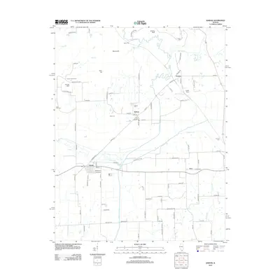 2012 Karnak2012 Print · USGSSouthern Illinois at the start of the 2010s reveals a landscape of river-bottom settlements and upland bluffs. Genealogists and local historians can locate early burial sites like Miller Cem and Wildcat Cem or trace the winding course of the Cache River.
 - 2012 Map of Glendale, 2012 Print
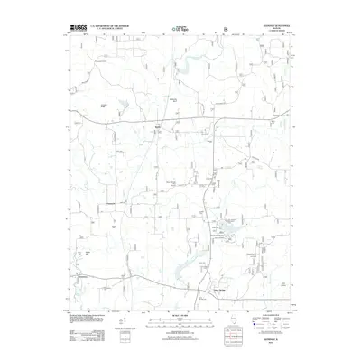 2012 Glendale2012 Print · USGSSouthern Illinois woodland and rural settlements define this area during the early twenty-first century. Genealogists and local historians can trace family roots through numerous sites like Harper Cem, Roland Cem, and the settlement of Flatwoods.
 - 2012 Map of Reevesville, 2012 Print
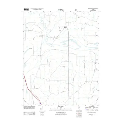 2012 Reevesville2012 Print · USGSSouthern Illinois at the edge of the national forest is captured here during the early twenty-first century. Family history researchers can locate numerous burial grounds like Mount Olive Cem and Canaan Cem, alongside small hubs like Renshaw and Temple Hill.
 - 2012 Map of Vienna, 2012 Print
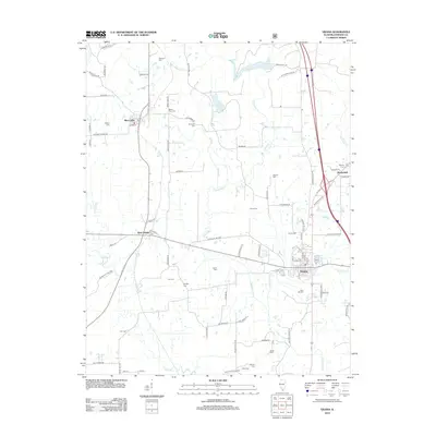 2012 Vienna2012 Print · USGSVienna and the surrounding Johnson County countryside appear in the early twenty-first century as a landscape of interconnected river valleys and historic homesteads. Genealogists can trace family names through over a dozen burial grounds like Francis Cem and Simpson Cem, while naturalists can locate the Heron Pond Preserve.
 - 2012 Map of Stonefort, 2012 Print
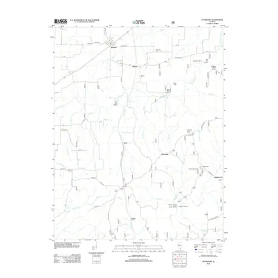 2012 Stonefort2012 Print · USGSSouthern Illinois at the start of the twenty-first century reveals a landscape of deep-cut hollows and small farming settlements. Genealogists and hikers can trace family sites like Blackman Cem and Joyner Cem or explore landmarks such as Burden Falls and Stonefort Bluff.
 - 2012 Map of Bloomfield, 2012 Print
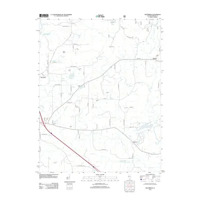 2012 Bloomfield2012 Print · USGSSouthern Illinois at the start of the 2010s reveals a landscape of enduring rural communities and family legacies. Genealogists can locate numerous burial sites like Odd Fellows Cem and Harrett Cem, alongside small settlements such as Wartrace and Pond.
 - 2012 Map of Creal Springs, 2012 Print
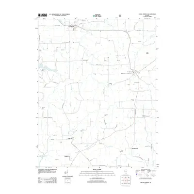 2012 Creal Springs2012 Print · USGSCreal Springs and the surrounding Illinois hill country are shown here in the early 2000s, revealing a landscape defined by small rural hubs and a high density of ancestral burial grounds. Researchers can find precise locations for the Salem Cem, the settlement at Tunnel Hill, and the grounds of Ondessonk Camp.
 - 2012 Map of Cypress, 2012 Print
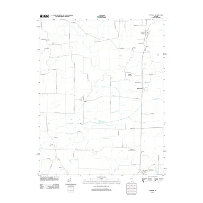 2012 Cypress2012 Print · USGSSouthern Illinois river lowlands and rural crossroads are captured here in the early 2010s. Genealogists and local historians can trace family ties at Masonic Cem, explore the Shawnee Community College campus, or locate the small settlements of Perks and New Grand Chain.
 - 2012 Map of Mount Pleasant, 2012 Print
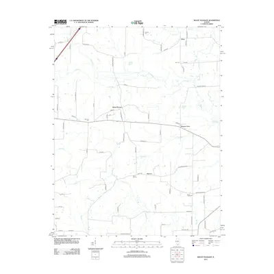 2012 Mount Pleasant2012 Print · USGSSouthern Illinois agricultural life and bottomland drainage define this Union County landscape in the early 2010s. Researchers can trace historic family burial sites and rural hamlets like Elvira, Moscow, and Mount Zion Cem along the Cache River.
 - 2012 Map of Mermet, 2012 Print
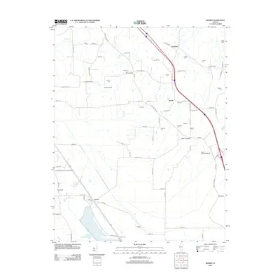 2012 Mermet2012 Print · USGSSouthern Illinois at the start of the 2010s reveals a landscape of enduring rural hamlets and significant water features like Mermet Lake. Genealogists and local historians can trace numerous family burial sites, including Massonic Cem, Shiloh Cem, and Wymore Cem.
 - 2012 Map of Goreville, 2012 Print
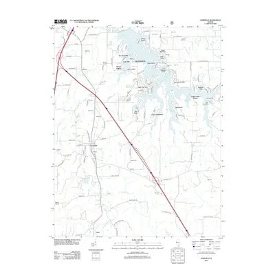 2012 Goreville2012 Print · USGSGoreville and the shores of the Lake of Egypt are captured here in the early twenty-first century as recreation and residential growth expanded. Researchers can locate numerous family burial sites like Caney Cem and Howard Cem or trace the early paths of Pulleys Mill Rd.
 - 2012 Map of Lick Creek, 2012 Print
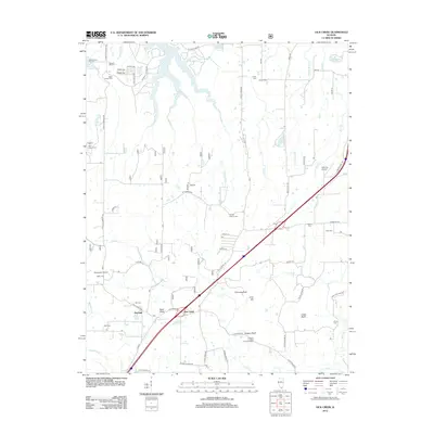 2012 Lick Creek2012 Print · USGSSouthern Illinois in the early twenty-first century reveals a landscape shaped by rural settlements and family heritage. Genealogists and historians can trace numerous burial sites like Old Pleasant Hill Cem and Mount Hebron Cem near the shores of Devils Kitchen Lake.
 - 2015 Map of Karnak, 2015 Print
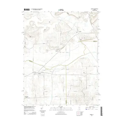 2015 Karnak2015 Print · USGSSouthern Illinois at the confluence of Johnson, Pulaski, and Massac counties reveals a landscape shaped by the Cache River and early drainage efforts. Genealogists and historians can trace local family roots through sites like Hill Cem, Miller Cem, and the settlement of Belknap.
 - 2015 Map of Mermet, 2015 Print
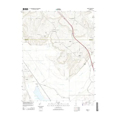 2015 Mermet2015 Print · USGSSouthern Illinois and the border of Johnson and Massac counties are shown here as the landscape transitions from the northern hills toward the Mermet Lake wetlands. Genealogists can trace numerous local burial sites including Nineveh Cem and Massonic Cem near the historic settlements of Ganntown and New Columbia.
 - 2015 Map of Glendale, 2015 Print
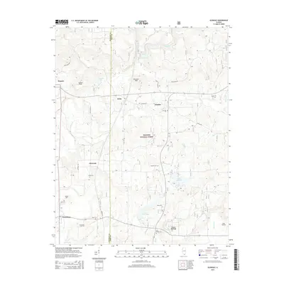 2015 Glendale2015 Print · USGSSouthern Illinois forest lands and rural hamlets are mapped here at the start of the 2010s. Genealogists and hikers can trace paths to Millstone Bluff, find remote burial sites like Kerley Cem, or explore the waters of Lake Glendale.
 - 2015 Map of Stonefort, 2015 Print
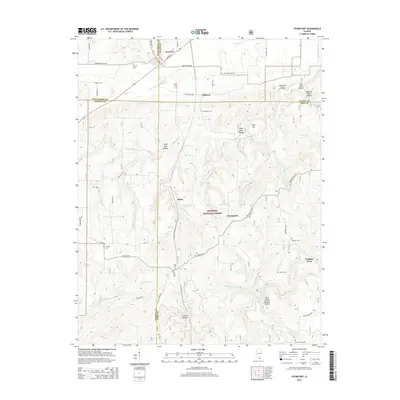 2015 Stonefort2015 Print · USGSSouthern Illinois at the junction of four counties is captured here in the mid-2010s, showing a landscape of deep hollows and forest settlements. Genealogists and hikers can locate numerous burial grounds like Old Zion Cem or visit the Bell Smith Natural Bridge.
 - 2015 Map of Creal Springs, 2015 Print
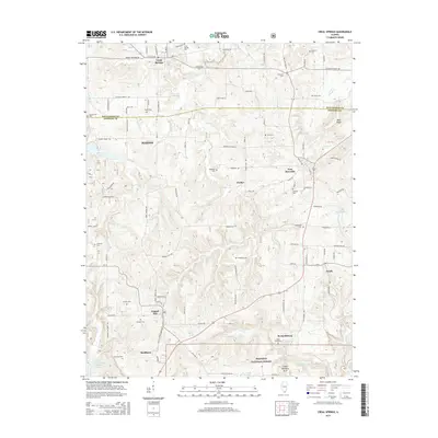 2015 Creal Springs2015 Print · USGSThe southern Illinois borderlands of Williamson and Johnson Counties are captured here in the modern era. Genealogists can trace family heritage through over a dozen marked sites like Holmes Cem, Choate Cem, and Catholic Cem scattered near Creal Springs and New Burnside.
 - 2015 Map of Vienna, 2015 Print
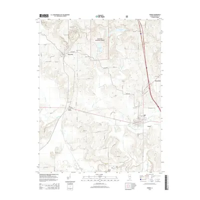 2015 Vienna2015 Print · USGSSouthern Illinois in the mid-2010s reveals a landscape where historic valley settlements and the Shawnee National Forest meet. Genealogists can locate numerous burial sites such as Simpson Cem and Stewart Cem, or trace landmarks like Wildcat Bluff.
 - 2015 Map of Reevesville, 2015 Print
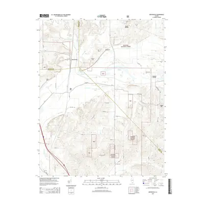 2015 Reevesville2015 Print · USGSSouthern Illinois at the crossroads of Johnson, Pope, and Massac counties is captured here in the mid-2010s. Genealogists and local historians can trace family roots through numerous sites like Henley Cem, Allens Spring, and the rural community of Reevesville.
 - 2015 Map of Goreville, 2015 Print
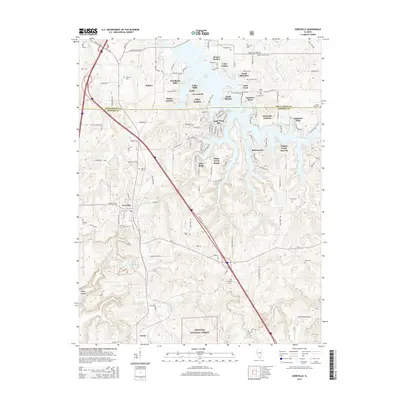 2015 Goreville2015 Print · USGSSouthern Illinois in the mid-2010s reveals a landscape split between the recreation-focused developments of Lake of Egypt and the deep woods of the SHAWNEE NATIONAL FOREST. Genealogists can locate several small family plots including Caney Cem and Webb Cem near Goreville.
 - 2015 Map of Bloomfield, 2015 Print
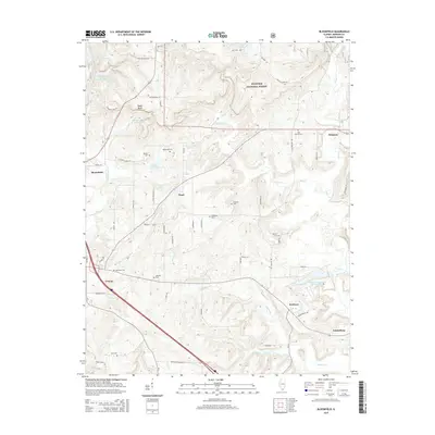 2015 Bloomfield2015 Print · USGSSouthern Illinois hill country around Vienna and the Shawnee National Forest is mapped here in the mid-2010s. Researchers can locate numerous family burial sites like Holt Cem and Murrie Cem alongside landmarks such as Taylor Bluff.
 - 2015 Map of Cypress, 2015 Print
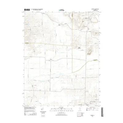 2015 Cypress2015 Print · USGSSouthern Illinois wetlands and rail junctions meet in this mid-2010s survey of the Cache River bottomlands. Researchers can locate family sites at Masonic Cemetery or trace old routes through Perks, Joppa Junction, and Grand Chain.
 - 2015 Map of Lick Creek, 2015 Print
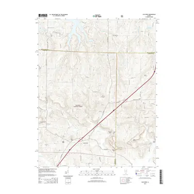 2015 Lick Creek2015 Print · USGSSouthern Illinois in the mid-2010s reveals a landscape defined by the wooded ridges of the Shawnee National Forest. Genealogists and historians can locate numerous small burial sites like Mount Hebron Cem and prominent natural features such as Drapers Bluff.
 - 2015 Map of Mount Pleasant, 2015 Print
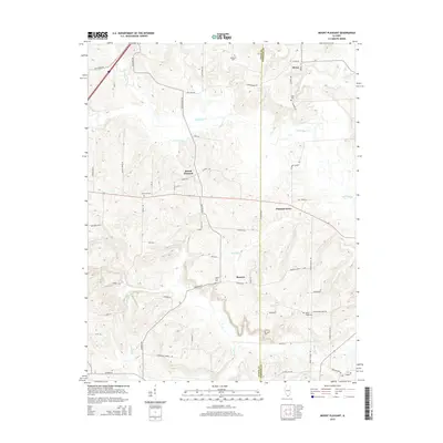 2015 Mount Pleasant2015 Print · USGSSouthern Illinois at the mid-decade reveals a quiet rural landscape centered on Mount Pleasant and the Cache River. Genealogists can trace family footprints through numerous local landmarks like Mount Pisgah Cem and Mount Zion Cem.
 - 2018 Map of Cypress, 2018 Print
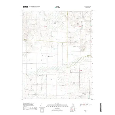 2018 Cypress2018 Print · USGSSouthern Illinois at the intersection of Union, Johnson, and Pulaski counties shows a landscape of river bottoms and rail-connected towns. Researchers can trace local lineage through the Masonic Cem and Cache Chapel Cem, or locate the historic center of Cypress.
Showing maps 1-25 of 36
Top cities of Johnson County
- Vienna historical maps
- Goreville historical maps
- Cypress historical maps
- New Burnside historical maps
- Buncombe historical maps
- Belknap historical maps
See more
Frequently asked questions
- What are the different types of historical maps available for Johnson County?
- What is the oldest map of Johnson County?
- Where can I purchase historical maps of Johnson County for my home or office?
- Where can I download high-res historical maps of Johnson County?
- Are there historical topographic maps available for Johnson County?
- Is there historical aerial imagery available for Johnson County?
- Where are historical maps of Johnson County sourced from?