2020s Maps of Madison County, Illinois
Explore 39 historic maps of Madison County from the 2020s. These maps offer a rare glimpse into what life looked like during the 2020s — showing old roads, neighborhoods, homes, and landmarks that have changed or disappeared over time.
Whether you're researching your family's past, planning a metal detecting trip, or studying how Madison County's landscape evolved across the 2020s, these high-resolution maps are a powerful tool for exploring the history of this region.
- Focus on a specific era: All maps on this page are from the 2020s, giving you a focused view of this time period.
- See what’s changed: Compare century-old streets, trails, and buildings to today's modern landscape using overlays and satellite layers.
- Research with precision: Use these maps for genealogy, historical research, land use analysis, or educational projects.
- View, download, or print: Maps are fully viewable online in high resolution, and can be downloaded or printed for your own records.
Start exploring Madison County's history through authentic maps from the 2020s. This is your window into the past.
Madison County, IL maps
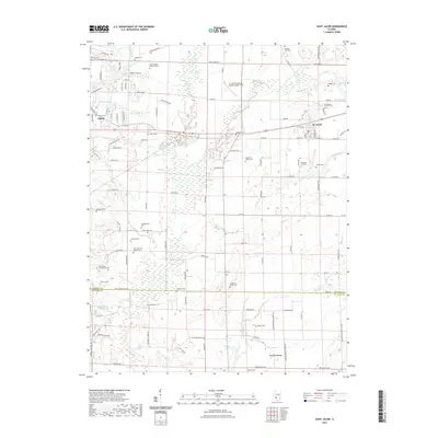
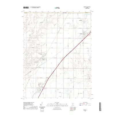
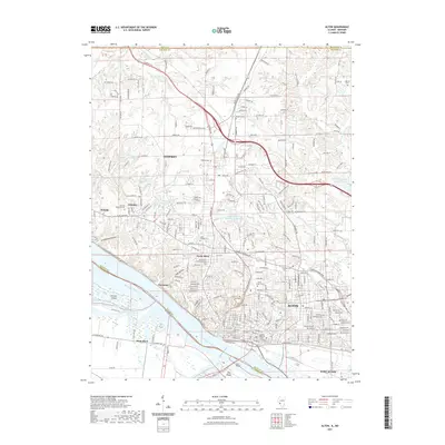
(39)- 2021 Map of Elsah, 2021 Print
 2021 Elsah2021 Print · USGSCovers Madison County, including Godfrey, West Alton, and other nearby areas
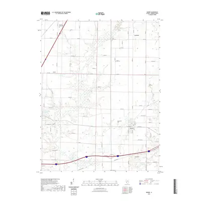
 - 2021 Map of Saint Jacob, 2021 Print
 2021 Saint Jacob2021 Print · USGSCovers Madison County, including Troy, Saint Jacob, and other nearby areas
 - 2021 Map of Saint Rose, 2021 Print
 2021 Saint Rose2021 Print · USGSCovers Madison County, including Breese, Aviston, and other nearby areas
 - 2021 Map of Marine, 2021 Print
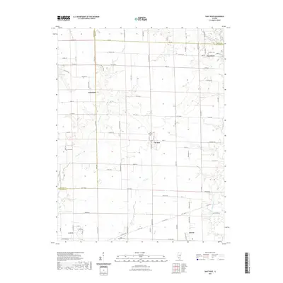
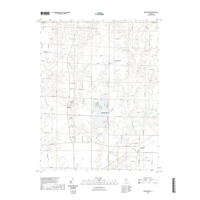
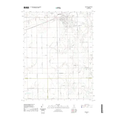
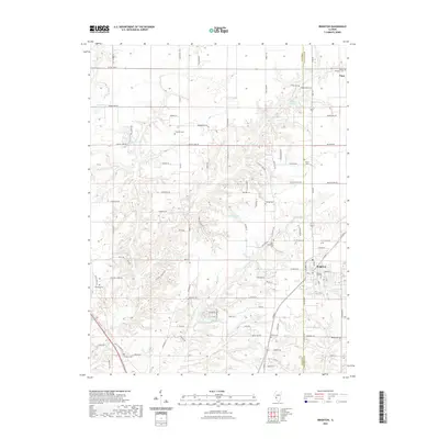
 2021 Marine2021 Print · USGSCovers Madison County, including Marine, Kaufman, and other nearby areas
 - 2021 Map of Worden, 2021 Print
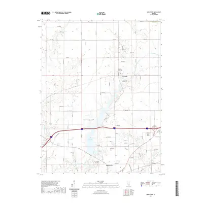
 2021 Worden2021 Print · USGSCovers Madison County, including Staunton, Worden, and other nearby areas
 - 2021 Map of Edwardsville, 2021 Print
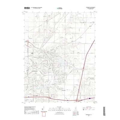 2021 Edwardsville2021 Print · USGSCovers Madison County, including Edwardsville, Glen Carbon, and other nearby areas
 - 2021 Map of Collinsville, 2021 Print
 2021 Collinsville2021 Print · USGSCovers Madison County, including O'Fallon, Collinsville, and other nearby areas
 - 2021 Map of New Douglas, 2021 Print
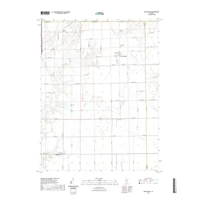 2021 New Douglas2021 Print · USGSCovers Madison County, including Alhambra, New Douglas, and other nearby areas
 - 2021 Map of Grantfork, 2021 Print
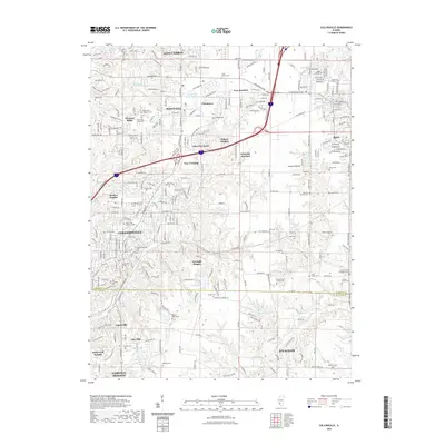
 2021 Grantfork2021 Print · USGSCovers Madison County, including Highland, Grantfork, and other nearby areas
 - 2021 Map of Pocahontas, 2021 Print
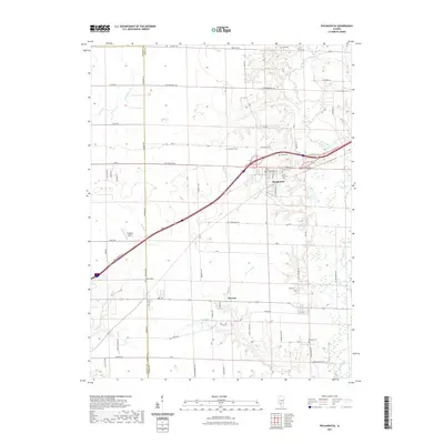 2021 Pocahontas2021 Print · USGSCovers Madison County, including Pocahontas, Pierron, and other nearby areas
 - 2021 Map of Prairietown, 2021 Print
 2021 Prairietown2021 Print · USGSCovers Madison County, including Holiday Shores, Carpenter, and other nearby areas
 - 2021 Map of Highland, 2021 Print
 2021 Highland2021 Print · USGSCovers Madison County, including Highland, Saint Morgan, and other nearby areas
 - 2021 Map of Granite City, 2021 Print
 2021 Granite City2021 Print · USGSCovers Madison County, including St. Louis, Granite City, and other nearby areas
 - 2021 Map of Monks Mound, 2021 Print
 2021 Monks Mound2021 Print · USGSCovers Madison County, including Granite City, Collinsville, and other nearby areas
 - 2021 Map of Alton, 2021 Print
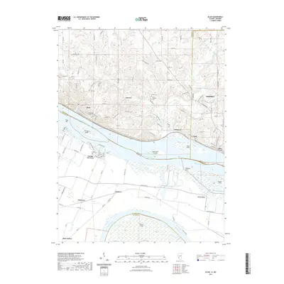
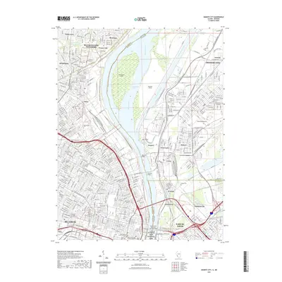
 2021 Alton2021 Print · USGSCovers Madison County, including Alton, Godfrey, and other nearby areas
 - 2021 Map of Bethalto, 2021 Print
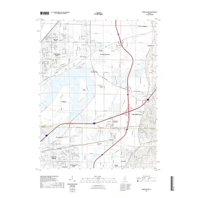
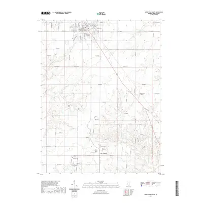
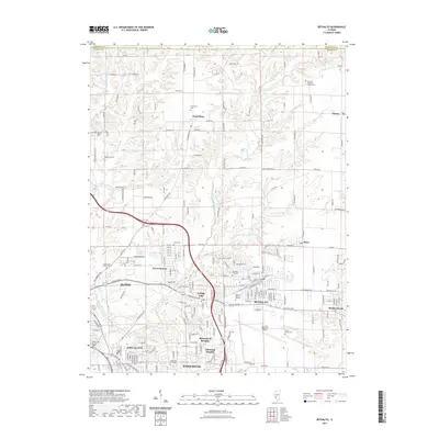 2021 Bethalto2021 Print · USGSCovers Madison County, including Alton, Wood River, and other nearby areas
 - 2021 Map of Wood River, 2021 Print
 2021 Wood River2021 Print · USGSCovers Madison County, including Granite City, Edwardsville, and other nearby areas
 - 2021 Map of Brighton, 2021 Print
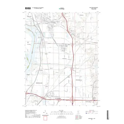
 2021 Brighton2021 Print · USGSCovers Madison County, including Godfrey, Brighton, and other nearby areas
 - 2021 Map of Jerseyville South, 2021 Print
 2021 Jerseyville South2021 Print · USGSCovers Madison County, including Godfrey, Jerseyville, and other nearby areas
 - 2021 Map of Columbia Bottom, 2021 Print
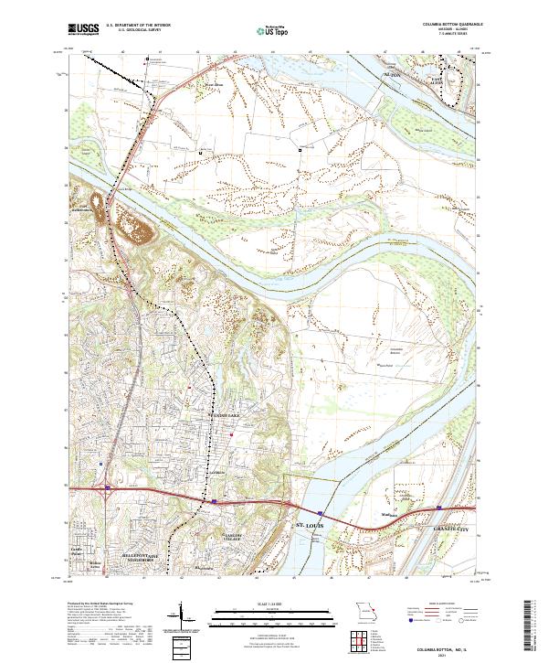 2021 Columbia Bottom2021 Print · USGSThe St. Louis riverfront meets the Missouri-Mississippi confluence in this modern topographic study. Genealogists can locate family sites at Bailey Cem and Espedeza Cem, or trace the old routes of Madison Ferry Rd and the Chain of Rocks Bridge.
 - 2024 Map of Pocahontas, 2024 Print
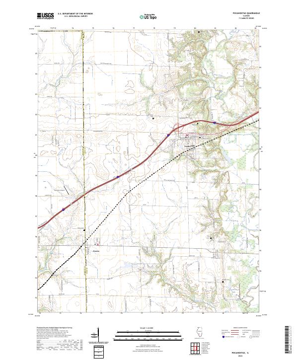 2024 Pocahontas2024 Print · USGSPocahontas and Pierron anchor this Bond County landscape as it appeared in the early 2020s. Genealogists and historians can trace numerous family-named landmarks and burial grounds, including Saint Nicholas Cem, Calvary Cem, and Compton Airport.
 - 2024 Map of Prairietown, 2024 Print
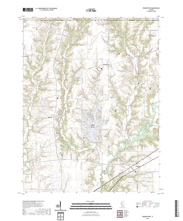 2024 Prairietown2024 Print · USGSMadison County at the edge of the Metro East shows a landscape of long-standing farming communities and growing lakeside developments. Genealogists can locate family burial sites like Paddock Family Cem and the Zion Lutheran Cem near Prairietown.
 - 2024 Map of Marine, 2024 Print
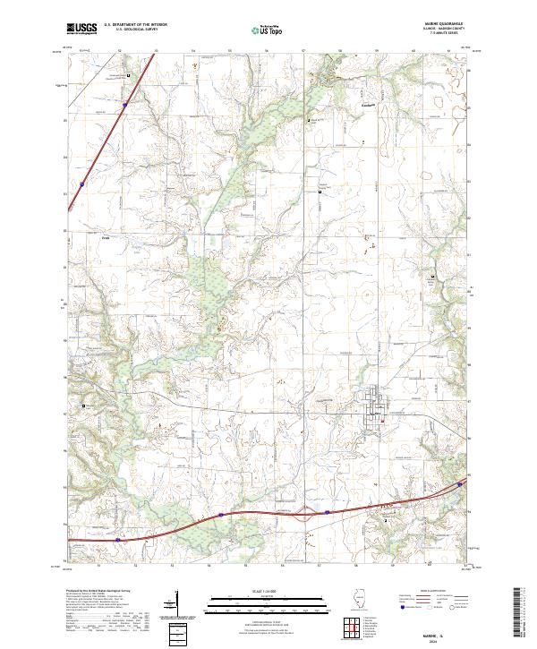 2024 Marine2024 Print · USGSMadison County's agricultural and spiritual foundations are visible in this detailed contemporary survey of the area surrounding Marine. Genealogists and historians can trace family-named landmarks and local heritage sites like Crandall Family Cem and the Immanuel United Church of Christ Cem.
 - 2024 Map of Bethalto, 2024 Print
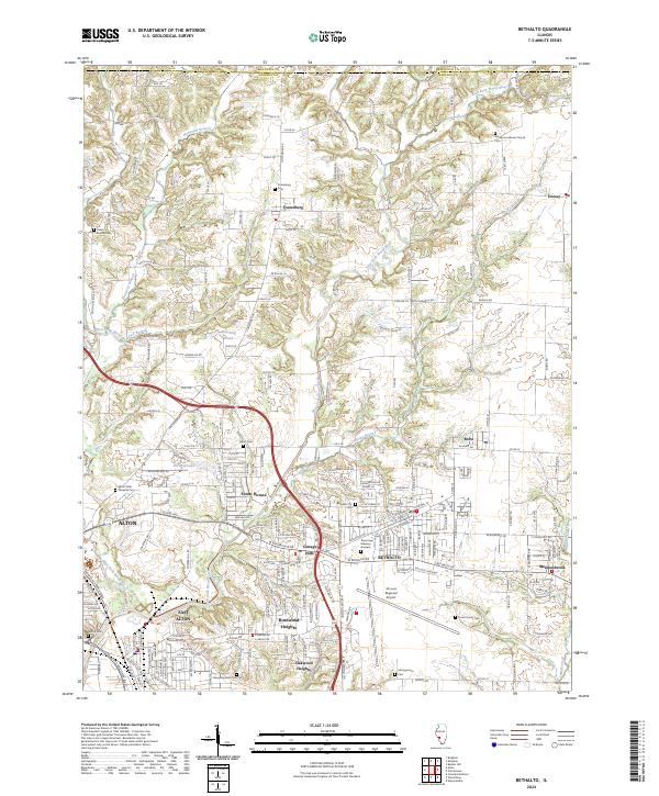 2024 Bethalto2024 Print · USGSThe communities of Madison County north of the industrial riverbend show a mix of suburban growth and traditional rural layouts. Trace family roots at the Pruett Family Cem or study the grounds of the St Louis Regional Airport and Alton State Hospital.
 - 2024 Map of Saint Jacob, 2024 Print
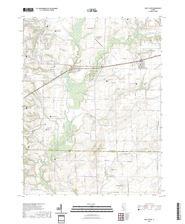 2024 Saint Jacob2024 Print · USGSMadison County at the edge of the St. Louis metro area remains a landscape of deep-rooted family histories and prairie waterways. Genealogists can trace lineage through numerous rural burial sites like Keystone City Cem and the Smart Family Burial Ground, or locate the ancient profile of Emerald Mound.
Showing maps 1-25 of 39
Top cities of Madison County
- Granite City historical maps
- Edwardsville historical maps
- Alton historical maps
- Collinsville historical maps
- Godfrey historical maps
- Glen Carbon historical maps
See more
Frequently asked questions
- What are the different types of historical maps available for Madison County?
- What is the oldest map of Madison County?
- Where can I purchase historical maps of Madison County for my home or office?
- Where can I download high-res historical maps of Madison County?
- Are there historical topographic maps available for Madison County?
- Is there historical aerial imagery available for Madison County?
- Where are historical maps of Madison County sourced from?