2000s (21st Century) Maps of Madison County, Illinois
Explore 99 historic maps of Madison County from the 2000s (21st Century). These maps offer a rare glimpse into what life looked like during the 2000s — showing old roads, neighborhoods, homes, and landmarks that have changed or disappeared over time.
Whether you're researching your family's past, planning a metal detecting trip, or studying how Madison County's landscape evolved across the 2000s, these high-resolution maps are a powerful tool for exploring the history of this region.
- Focus on a specific era: All maps on this page are from the 2000s, giving you a focused view of this time period.
- See what’s changed: Compare century-old streets, trails, and buildings to today's modern landscape using overlays and satellite layers.
- Research with precision: Use these maps for genealogy, historical research, land use analysis, or educational projects.
- View, download, or print: Maps are fully viewable online in high resolution, and can be downloaded or printed for your own records.
Start exploring Madison County's history through authentic maps from the 2000s. This is your window into the past.
Madison County, IL maps
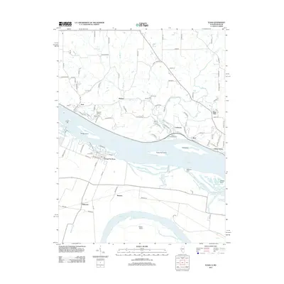
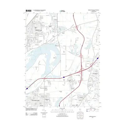
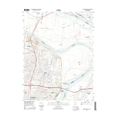
(99)- 2012 Map of Columbia Bottom, 2012 Print
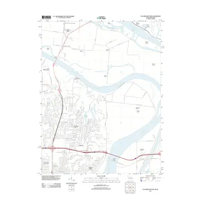 2012 Columbia Bottom2012 Print · USGSCovers Madison County, including Granite City, Alton, and other nearby areas
 - 2012 Map of Jerseyville South, 2012 Print
 2012 Jerseyville South2012 Print · USGSCovers Madison County, including Godfrey, Jerseyville, and other nearby areas
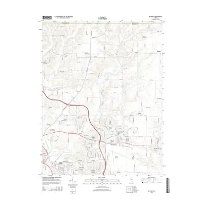
 - 2012 Map of Brighton, 2012 Print
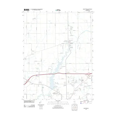
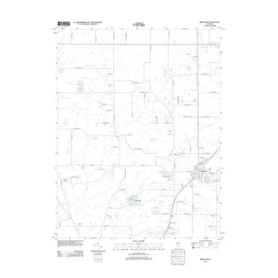 2012 Brighton2012 Print · USGSCovers Madison County, including Godfrey, Brighton, and other nearby areas
 - 2012 Map of New Douglas, 2012 Print
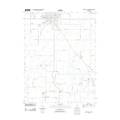
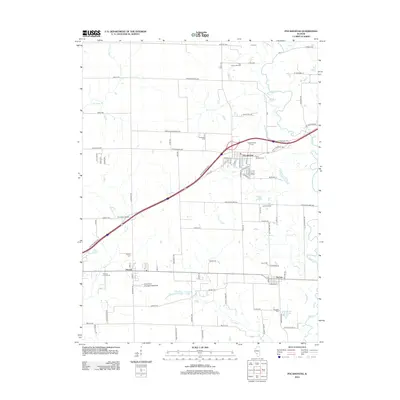
 2012 New Douglas2012 Print · USGSCovers Madison County, including Alhambra, New Douglas, and other nearby areas
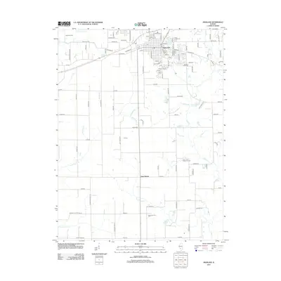
 - 2012 Map of Prairietown, 2012 Print
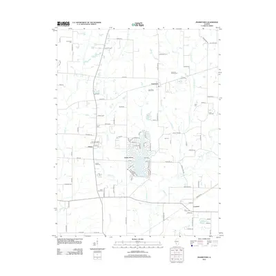 2012 Prairietown2012 Print · USGSCovers Madison County, including Holiday Shores, Carpenter, and other nearby areas
 - 2012 Map of Saint Rose, 2012 Print
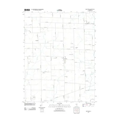 2012 Saint Rose2012 Print · USGSCovers Madison County, including Breese, Aviston, and other nearby areas
 - 2012 Map of Saint Jacob, 2012 Print
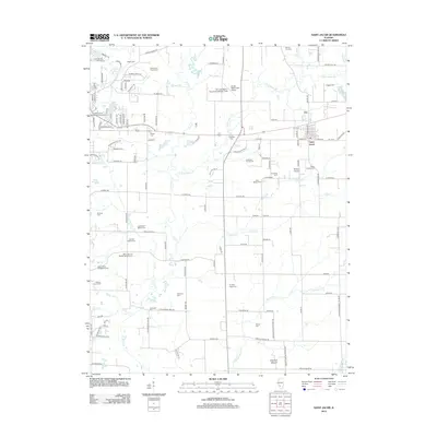 2012 Saint Jacob2012 Print · USGSCovers Madison County, including Troy, Saint Jacob, and other nearby areas
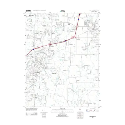
 - 2012 Map of Edwardsville, 2012 Print
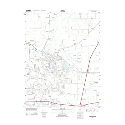 2012 Edwardsville2012 Print · USGSCovers Madison County, including Edwardsville, Glen Carbon, and other nearby areas
 - 2012 Map of Worden, 2012 Print
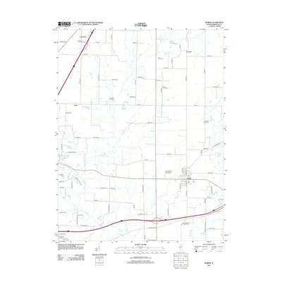
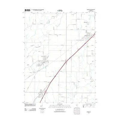 2012 Worden2012 Print · USGSCovers Madison County, including Staunton, Worden, and other nearby areas
 - 2012 Map of Grantfork, 2012 Print
 2012 Grantfork2012 Print · USGSCovers Madison County, including Highland, Grantfork, and other nearby areas
 - 2012 Map of Collinsville, 2012 Print
 2012 Collinsville2012 Print · USGSCovers Madison County, including O'Fallon, Collinsville, and other nearby areas
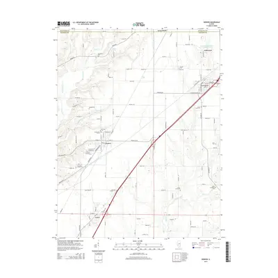
 - 2012 Map of Marine, 2012 Print
 2012 Marine2012 Print · USGSCovers Madison County, including Marine, Kaufman, and other nearby areas
 - 2012 Map of Alton, 2012 Print
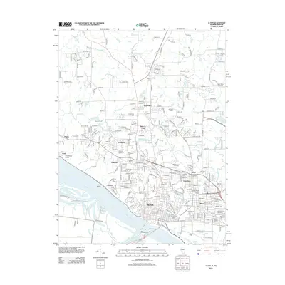 2012 Alton2012 Print · USGSCovers Madison County, including Alton, Godfrey, and other nearby areas
 - 2012 Map of Elsah, 2012 Print
 2012 Elsah2012 Print · USGSCovers Madison County, including Godfrey, West Alton, and other nearby areas
 - 2012 Map of Wood River, 2012 Print
 2012 Wood River2012 Print · USGSCovers Madison County, including Granite City, Edwardsville, and other nearby areas
 - 2012 Map of Highland, 2012 Print
 2012 Highland2012 Print · USGSCovers Madison County, including Highland, Saint Morgan, and other nearby areas
 - 2012 Map of Pocahontas, 2012 Print
 2012 Pocahontas2012 Print · USGSCovers Madison County, including Pocahontas, Pierron, and other nearby areas
 - 2012 Map of Monks Mound, 2012 Print
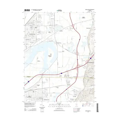
 2012 Monks Mound2012 Print · USGSCovers Madison County, including Granite City, Collinsville, and other nearby areas
 - 2012 Map of Bethalto, 2012 Print
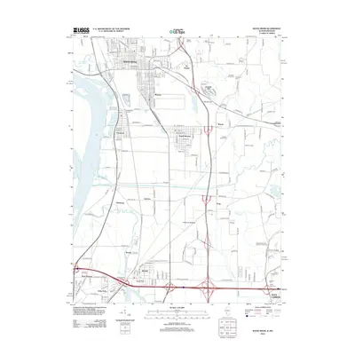
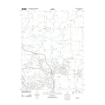 2012 Bethalto2012 Print · USGSCovers Madison County, including Alton, Wood River, and other nearby areas
 - 2012 Map of Granite City, 2012 Print
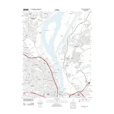 2012 Granite City2012 Print · USGSCovers Madison County, including St. Louis, Granite City, and other nearby areas
 - 2015 Map of Columbia Bottom, 2015 Print
 2015 Columbia Bottom2015 Print · USGSCovers Madison County, including Granite City, Alton, and other nearby areas
 - 2015 Map of Monks Mound, 2015 Print
 2015 Monks Mound2015 Print · USGSCovers Madison County, including Granite City, Collinsville, and other nearby areas
 - 2015 Map of Bethalto, 2015 Print
 2015 Bethalto2015 Print · USGSCovers Madison County, including Alton, Wood River, and other nearby areas
 - 2015 Map of Worden, 2015 Print
 2015 Worden2015 Print · USGSCovers Madison County, including Staunton, Worden, and other nearby areas
 - 2015 Map of Grantfork, 2015 Print
 2015 Grantfork2015 Print · USGSCovers Madison County, including Highland, Grantfork, and other nearby areas
Showing maps 1-25 of 99
Top cities of Madison County
- Granite City historical maps
- Edwardsville historical maps
- Alton historical maps
- Collinsville historical maps
- Godfrey historical maps
- Glen Carbon historical maps
See more
Frequently asked questions
- What are the different types of historical maps available for Madison County?
- What is the oldest map of Madison County?
- Where can I purchase historical maps of Madison County for my home or office?
- Where can I download high-res historical maps of Madison County?
- Are there historical topographic maps available for Madison County?
- Is there historical aerial imagery available for Madison County?
- Where are historical maps of Madison County sourced from?