2020s Maps of Mason County, Illinois
Explore 44 historic maps of Mason County from the 2020s. These maps offer a rare glimpse into what life looked like during the 2020s — showing old roads, neighborhoods, homes, and landmarks that have changed or disappeared over time.
Whether you're researching your family's past, planning a metal detecting trip, or studying how Mason County's landscape evolved across the 2020s, these high-resolution maps are a powerful tool for exploring the history of this region.
- Focus on a specific era: All maps on this page are from the 2020s, giving you a focused view of this time period.
- See what’s changed: Compare century-old streets, trails, and buildings to today's modern landscape using overlays and satellite layers.
- Research with precision: Use these maps for genealogy, historical research, land use analysis, or educational projects.
- View, download, or print: Maps are fully viewable online in high resolution, and can be downloaded or printed for your own records.
Start exploring Mason County's history through authentic maps from the 2020s. This is your window into the past.
Mason County, IL maps
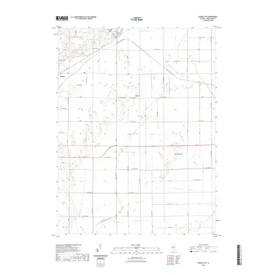
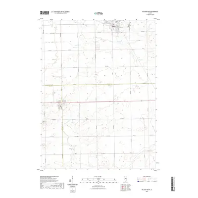
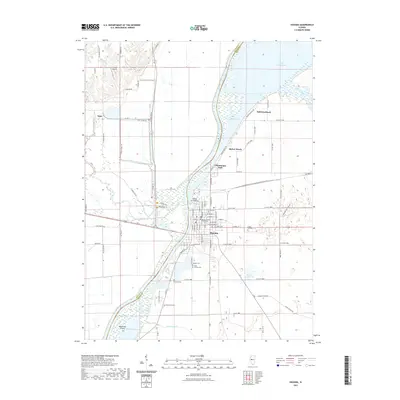
(44)- 2021 Map of Mason City, 2021 Print
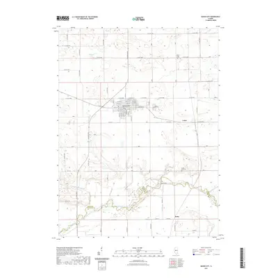 2021 Mason City2021 Print · USGSCovers Mason County, including Mason City, Luther, and other nearby areas
 - 2021 Map of Petersburg, 2021 Print
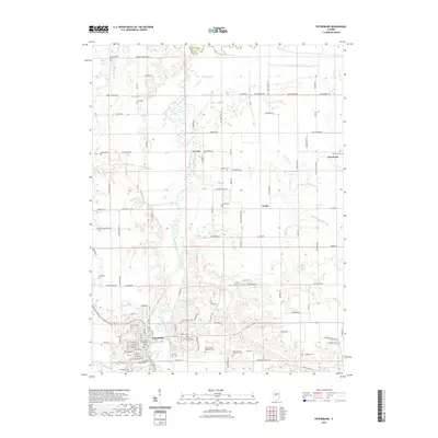 2021 Petersburg2021 Print · USGSCovers Mason County, including Petersburg, Greenview, and other nearby areas
 - 2021 Map of Oakford, 2021 Print
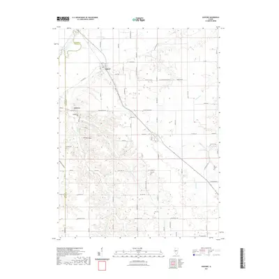 2021 Oakford2021 Print · USGSCovers Mason County, including Oakford, Bobtown, and other nearby areas
 - 2021 Map of Topeka, 2021 Print
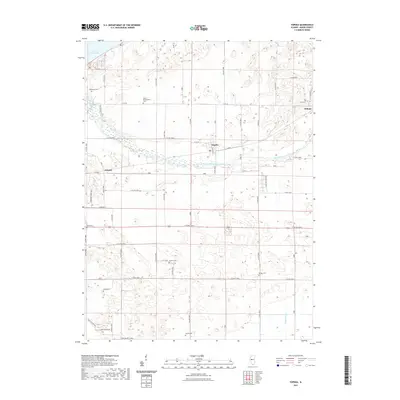 2021 Topeka2021 Print · USGSCovers Mason County, including Topeka, Buzzville, and other nearby areas
 - 2021 Map of South Pekin, 2021 Print
 2021 South Pekin2021 Print · USGSCovers Mason County, including South Pekin, Green Valley, and other nearby areas
 - 2021 Map of Manito, 2021 Print
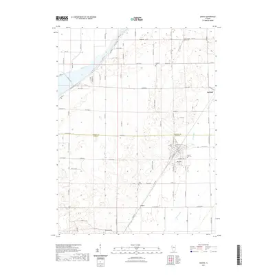 2021 Manito2021 Print · USGSCovers Mason County, including Manito, Forest City, and other nearby areas
 - 2021 Map of Forest City, 2021 Print
 2021 Forest City2021 Print · USGSCovers Mason County, including Forest City, Bishop, and other nearby areas
 - 2021 Map of Biggs, 2021 Print
 2021 Biggs2021 Print · USGSCovers Mason County, including Poplar City, Biggs, and other nearby areas
 - 2021 Map of Delavan South, 2021 Print
 2021 Delavan South2021 Print · USGSCovers Mason County, including Delavan, San Jose, and other nearby areas
 - 2021 Map of Natrona, 2021 Print
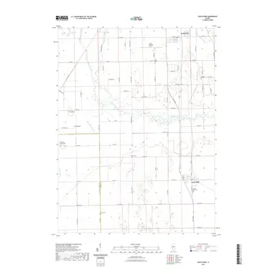
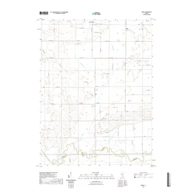
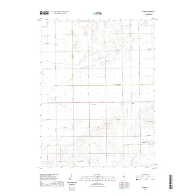 2021 Natrona2021 Print · USGSCovers Mason County, including Allen, Winkel, and other nearby areas
 - 2021 Map of Newmansville, 2021 Print
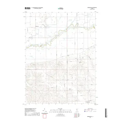 2021 Newmansville2021 Print · USGSCovers Mason County, including Newmansville, White City, and other nearby areas
 - 2021 Map of Middletown, 2021 Print
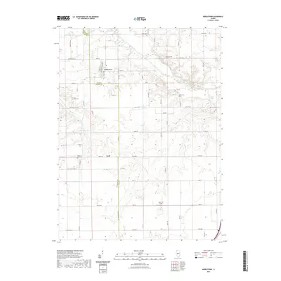 2021 Middletown2021 Print · USGSCovers Mason County, including Middletown, Elkhart, and other nearby areas
 - 2021 Map of New Holland, 2021 Print
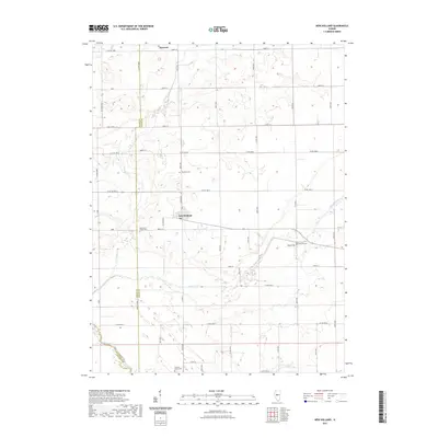 2021 New Holland2021 Print · USGSCovers Mason County, including New Holland, Harness, and other nearby areas
 - 2021 Map of Saint David, 2021 Print
 2021 Saint David2021 Print · USGSCovers Mason County, including Dunfermline, Bryant, and other nearby areas
 - 2021 Map of Clear Lake, 2021 Print
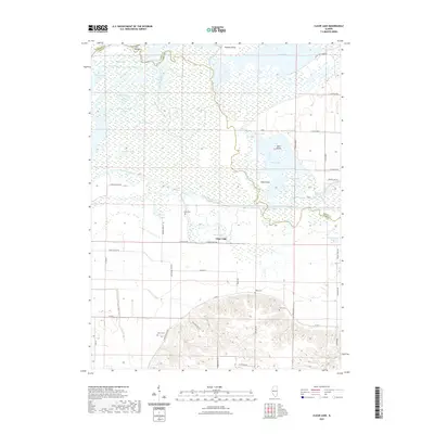 2021 Clear Lake2021 Print · USGSCovers Mason County, including Browning, Clear Lake, and other nearby areas
 - 2021 Map of Easton, 2021 Print
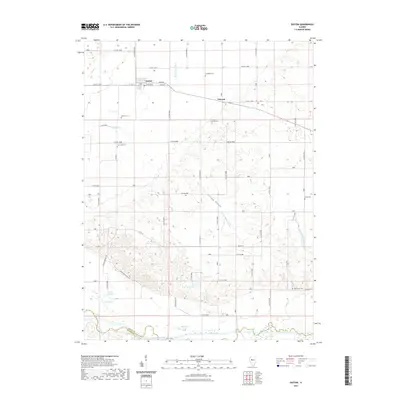 2021 Easton2021 Print · USGSCovers Mason County, including Easton, Teheran, and other nearby areas
 - 2021 Map of Bath, 2021 Print
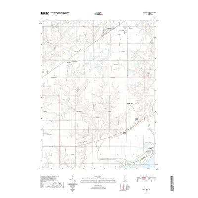
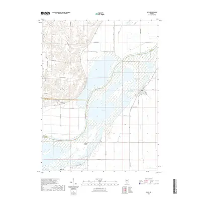 2021 Bath2021 Print · USGSCovers Mason County, including Bath, Marbletown, and other nearby areas
 - 2021 Map of Chandlerville, 2021 Print
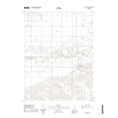 2021 Chandlerville2021 Print · USGSCovers Mason County, including Chandlerville, Wolf Lake, and other nearby areas
 - 2021 Map of Astoria, 2021 Print
 2021 Astoria2021 Print · USGSCovers Mason County, including Astoria, Browning, and other nearby areas
 - 2021 Map of Kilbourne, 2021 Print
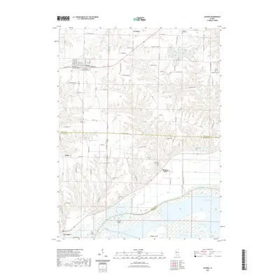
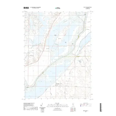
 2021 Kilbourne2021 Print · USGSCovers Mason County, including Kilbourne, Matanzas Beach, and other nearby areas
 - 2021 Map of Havana, 2021 Print
 2021 Havana2021 Print · USGSCovers Mason County, including Havana, Chautauqua Park, and other nearby areas
 - 2021 Map of Duck Island, 2021 Print
 2021 Duck Island2021 Print · USGSCovers Mason County, including Liverpool, Goofy Ridge, and other nearby areas
 - 2024 Map of Petersburg, 2024 Print
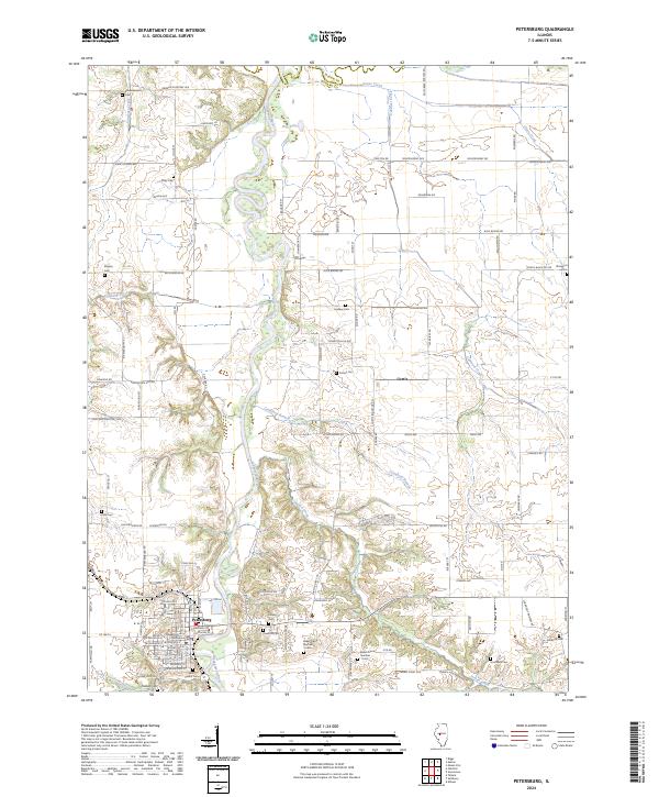 2024 Petersburg2024 Print · USGSPetersburg and the surrounding Menard County countryside are shown here in modern detail along the winding Sangamon River. Genealogists can trace numerous family-named burial sites, including Schoeneweiss Cem, Hornback Cem, and Kirby Cem.
 - 2024 Map of Oakford, 2024 Print
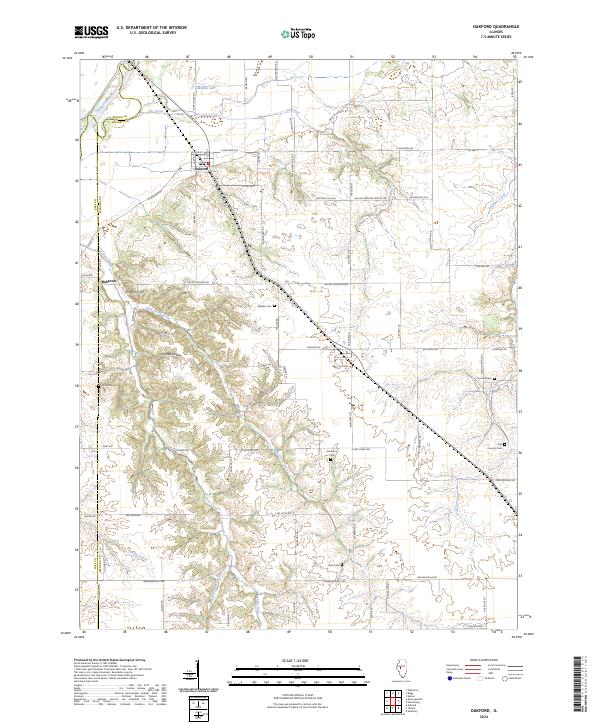 2024 Oakford2024 Print · USGSIn the central Illinois heartland during the early 2020s, this area shows a landscape of river-fed agriculture and deep-rooted rural communities. Researchers can locate numerous family burial sites and landmarks like Watkins Cem, Mott Hollow, and the settlement of Bobtown.
 - 2024 Map of Natrona, 2024 Print
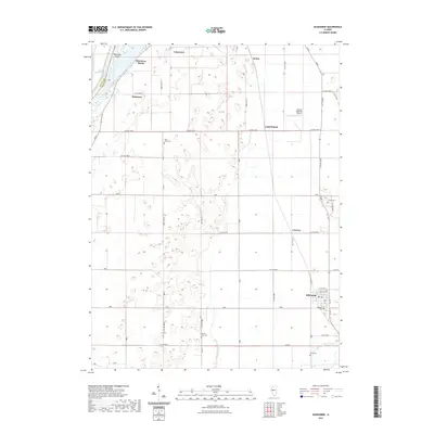
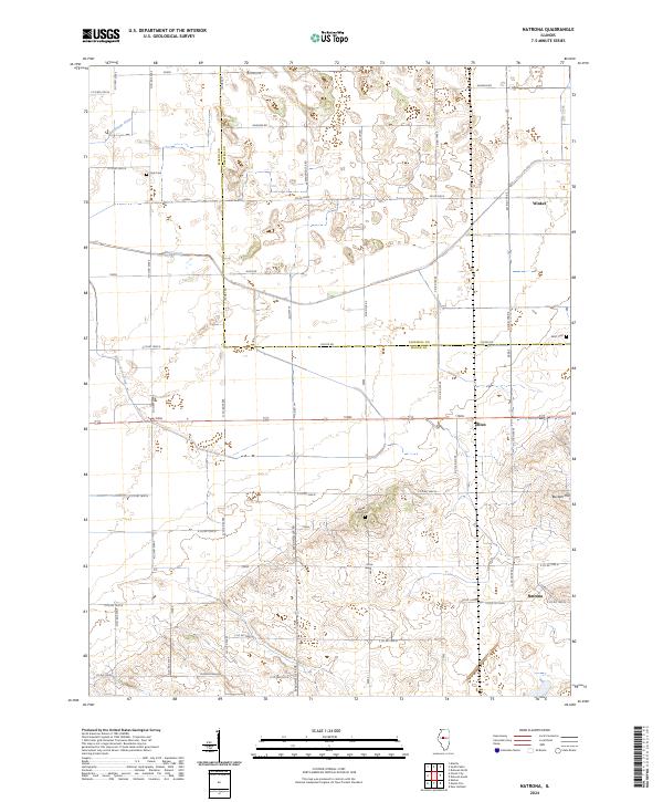 2024 Natrona2024 Print · USGSThe rural border of Mason and Tazewell Counties remains a landscape of traditional farmsteads and vital drainage systems in the 2020s. Genealogists can trace family footprints at Allens Grove Cemetery, Heyl Cemetery, and the small settlement of Natrona.
Showing maps 1-25 of 44
Top cities of Mason County
- Havana historical maps
- Mason City historical maps
- Manito historical maps
- Easton historical maps
- Kilbourne historical maps
- Bath historical maps
See more
Frequently asked questions
- What are the different types of historical maps available for Mason County?
- What is the oldest map of Mason County?
- Where can I purchase historical maps of Mason County for my home or office?
- Where can I download high-res historical maps of Mason County?
- Are there historical topographic maps available for Mason County?
- Is there historical aerial imagery available for Mason County?
- Where are historical maps of Mason County sourced from?