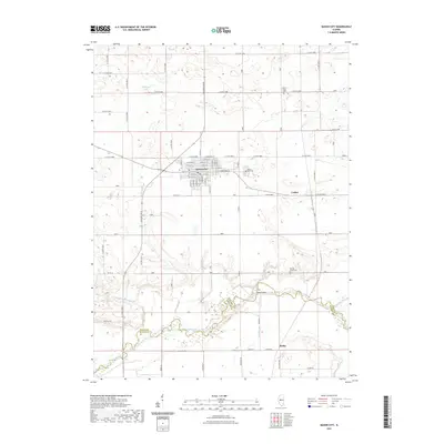
2021 Map of Mason City
USGS Topo · Published 2021About this map
Mason City serves as the primary hub of this Central Illinois landscape, where a dense grid of streets like W Walnut St and E Chestnut St meets the surrounding agricultural expanse. The region is defined by its water management and early transit corridors, following the course of Salt Creek and Sugar Creek toward the southern boundary. At the crossing of the latter sits the Hubly Bridge near the small settlement of Hubly. For those tracing local history, the map preserves the location of three distinct burial grounds: Mason City Cem, Cherry Grove Cem, and Swing Grove Cem. The presence of Sleepy Hollow Ditch and Ellsberry Lake illustrates the hydraulic modifications made to the Illinois prairie, while the alignment of Old Rte 29 and the hamlet of Luther mark the era's regional connectivity.
Find a feature on this map
38 named features on this map. Tap any name to fly to it.
Don’t see what you’re looking for? This feature index may not catch every label — zoom into the map to look around manually.
Map Details
Editions of this 2021 Mason City Map
This is the sole edition of this map. No revisions or reprints were ever made.
Other maps of this area

1929 · Manito
USGS Topo · 1:62,500

1932 · Manito
USGS Topo · 1:62,500

1933 · Petersburg
USGS Topo · 1:62,500

1938 · Petersburg
USGS Topo · 1:62,500

1942 · Delavan
USGS Topo · 1:62,500

1948 · Mason City
USGS Topo · 1:62,500

1949 · Mason City
USGS Topo · 1:62,500

1958 · Peoria
USGS Topo · 1:250,000

1961 · Peoria
USGS Topo · 1:250,000

1963 · Peoria
USGS Topo · 1:250,000