2020s Maps of Moultrie County, Illinois
Explore 28 historic maps of Moultrie County from the 2020s. These maps offer a rare glimpse into what life looked like during the 2020s — showing old roads, neighborhoods, homes, and landmarks that have changed or disappeared over time.
Whether you're researching your family's past, planning a metal detecting trip, or studying how Moultrie County's landscape evolved across the 2020s, these high-resolution maps are a powerful tool for exploring the history of this region.
- Focus on a specific era: All maps on this page are from the 2020s, giving you a focused view of this time period.
- See what’s changed: Compare century-old streets, trails, and buildings to today's modern landscape using overlays and satellite layers.
- Research with precision: Use these maps for genealogy, historical research, land use analysis, or educational projects.
- View, download, or print: Maps are fully viewable online in high resolution, and can be downloaded or printed for your own records.
Start exploring Moultrie County's history through authentic maps from the 2020s. This is your window into the past.
Moultrie County, IL maps
(28)- 2021 Map of Cooks Mills, 2021 Print
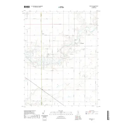 2021 Cooks Mills2021 Print · USGSCovers Moultrie County, including Fuller, Coles, and other nearby areas
 - 2021 Map of Arthur, 2021 Print
 2021 Arthur2021 Print · USGSCovers Moultrie County, including Bourbon, Arthur, and other nearby areas
 - 2021 Map of Findlay, 2021 Print
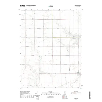 2021 Findlay2021 Print · USGSCovers Moultrie County, including Findlay, Todds Point, and other nearby areas
 - 2021 Map of Long Creek, 2021 Print
 2021 Long Creek2021 Print · USGSCovers Moultrie County, including Decatur, Mount Zion, and other nearby areas
 - 2021 Map of Dalton City, 2021 Print
 2021 Dalton City2021 Print · USGSCovers Moultrie County, including Bethany, Dalton City, and other nearby areas
 - 2021 Map of Kirksville, 2021 Print
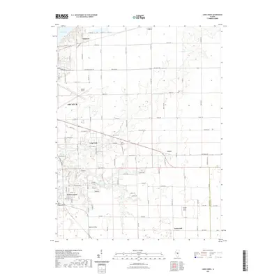
 2021 Kirksville2021 Print · USGSCovers Moultrie County, including Sullivan, Findlay, and other nearby areas
 - 2021 Map of La Place, 2021 Print
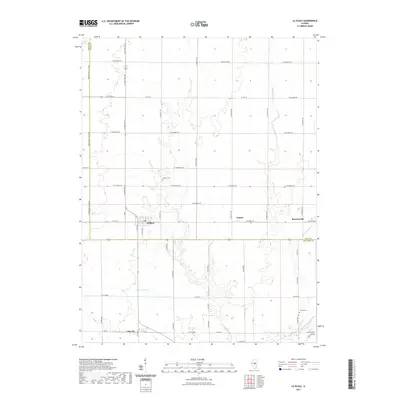 2021 La Place2021 Print · USGSCovers Moultrie County, including Lake City, Burrowsville, and other nearby areas
 - 2021 Map of Sullivan, 2021 Print
 2021 Sullivan2021 Print · USGSCovers Moultrie County, including Sullivan, Allenville, and other nearby areas
 - 2021 Map of Lovington, 2021 Print
 2021 Lovington2021 Print · USGSCovers Moultrie County, including Bethany, Lovington, and other nearby areas
 - 2021 Map of Atwood, 2021 Print
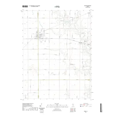
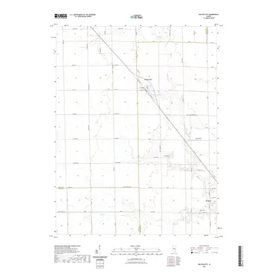
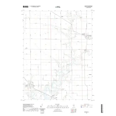
 2021 Atwood2021 Print · USGSCovers Moultrie County, including Garrett, Mackville, and other nearby areas
 - 2021 Map of Windsor, 2021 Print
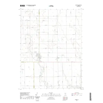
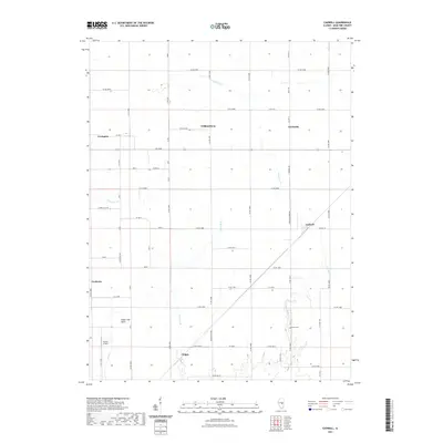
 2021 Windsor2021 Print · USGSCovers Moultrie County, including Windsor, Gays, and other nearby areas
 - 2021 Map of Hammond, 2021 Print
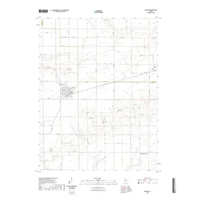
 2021 Hammond2021 Print · USGSCovers Moultrie County, including Hammond, Lanton, and other nearby areas
 - 2021 Map of Cadwell, 2021 Print
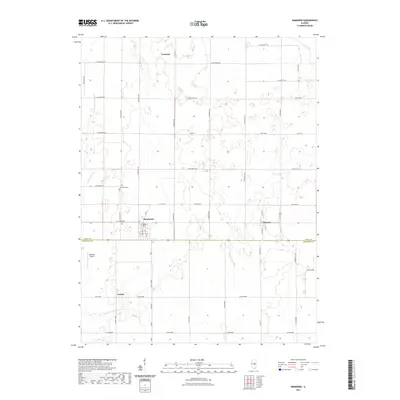
 2021 Cadwell2021 Print · USGSCovers Moultrie County, including Lovington, Cadwell, and other nearby areas
 - 2021 Map of Mattoon West, 2021 Print
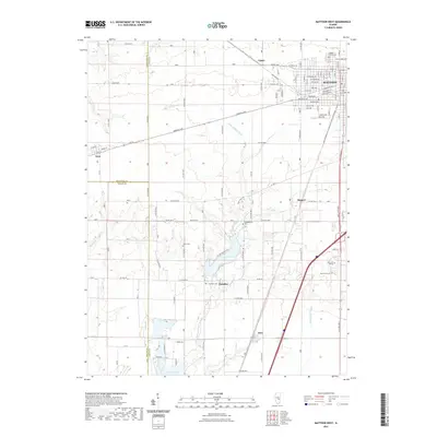 2021 Mattoon West2021 Print · USGSCovers Moultrie County, including Mattoon, Paradise, and other nearby areas
 - 2024 Map of Hammond, 2024 Print
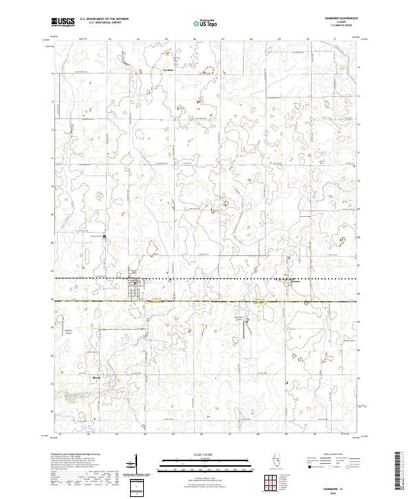 2024 Hammond2024 Print · USGSThe Illinois prairie around Hammond and Pierson is shown in this recent survey of the rural landscape along the Piatt and Moultrie county line. Researchers can trace local landmarks like Hammond Cem, the Post Office, and the drainage of Lake Fork.
 - 2024 Map of Windsor, 2024 Print
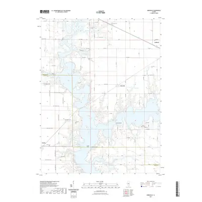
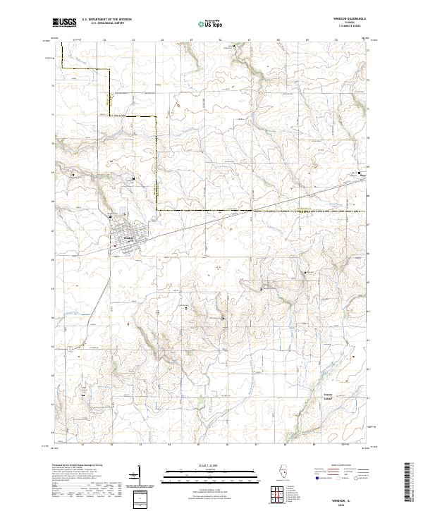 2024 Windsor2024 Print · USGSThe border of Shelby and Moultrie counties comes into focus in this recent survey of the Illinois prairie. Genealogists can trace family names through numerous burial sites like Hilligoss Cem, Ash Grove Cem, and Templeton Cem.
 - 2024 Map of Cadwell, 2024 Print
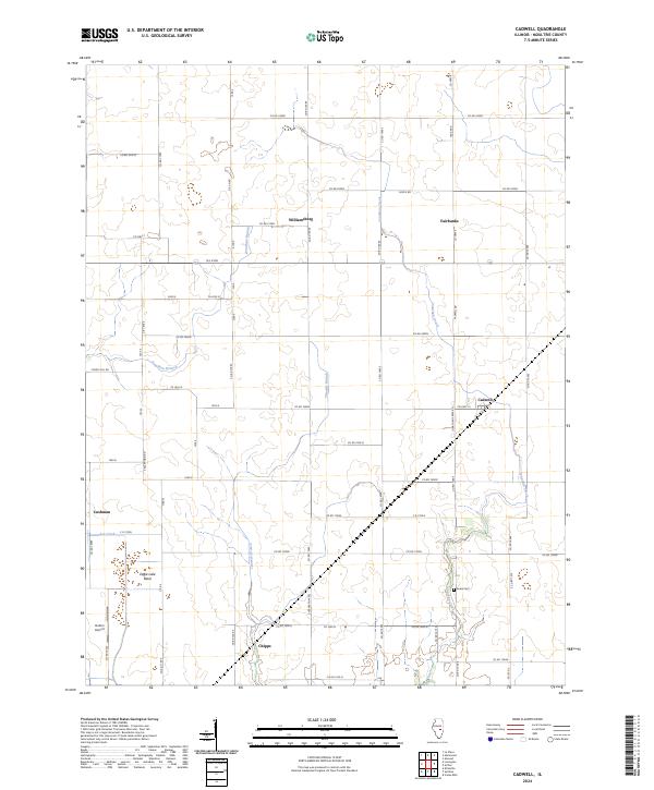 2024 Cadwell2024 Print · USGSMoultrie County at the start of the 2020s remains a landscape of historic prairie hamlets and creek-side settlements. Genealogists and local historians can trace family locations near Seass Cem, Williamsburg, and the junction at Cadwell.
 - 2024 Map of Dalton City, 2024 Print
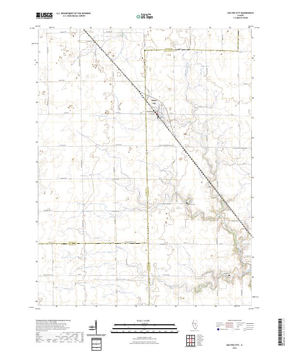 2024 Dalton City2024 Print · USGSCentral Illinois farmland at the meeting of three counties is captured in this modern survey. Genealogists and local historians can locate New Hope Cem and Walker Cem among the winding paths of Marrowbone Creek and Brush Creek.
 - 2024 Map of La Place, 2024 Print
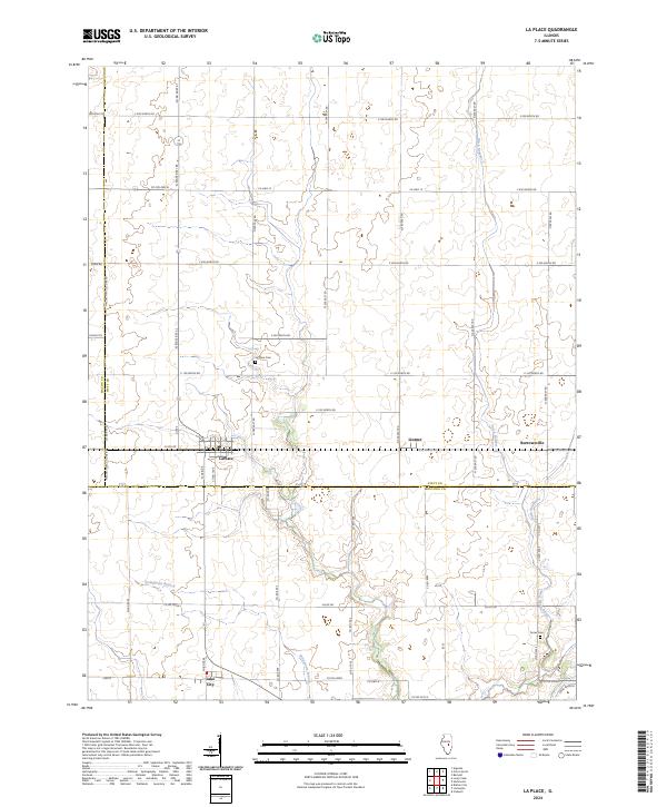 2024 La Place2024 Print · USGSPiatt County's agricultural heartland is documented here in the 2020s, showing the enduring structure of its rural villages and water drainage networks. Researchers can trace the layout of small settlements like LaPlace and Lake City or locate family plots at La Place Cem.
 - 2024 Map of Long Creek, 2024 Print
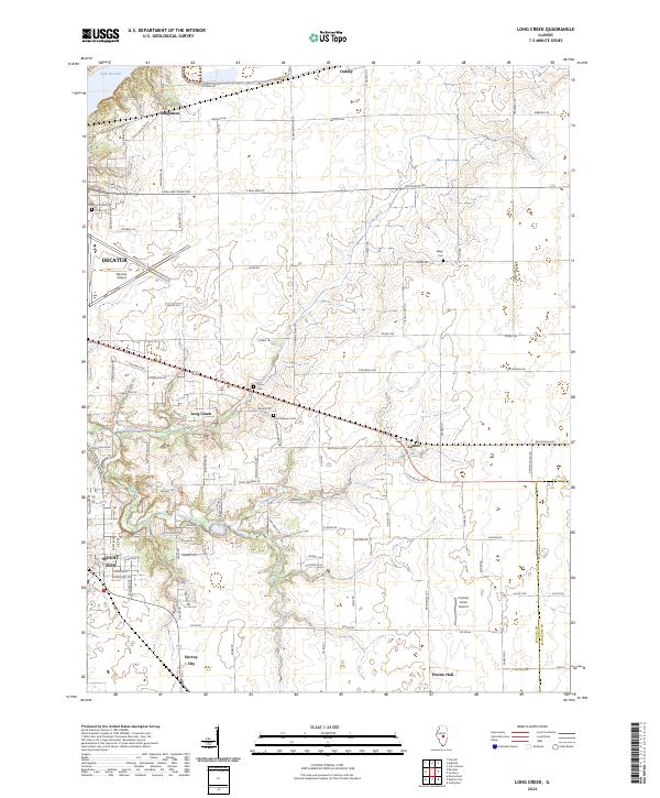 2024 Long Creek2024 Print · USGSEast of Decatur in the 2020s, this area shows a landscape of aviation and agriculture bounded by the Sangamon River. Researchers can locate family landmarks like Florey Cem, the community of Hervey City, and the grounds of Decatur Airport.
 - 2024 Map of Mattoon West, 2024 Print
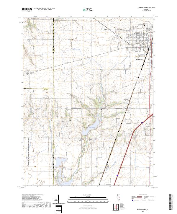 2024 Mattoon West2024 Print · USGSThe western edge of the Mattoon area in recent years shows a unique mix of expanding city streets and long-standing rural landmarks. Researchers can trace family history at Dodge Grove Cem, locate Lake Land College, and explore the banks of Lake Paradise.
 - 2024 Map of Findlay, 2024 Print
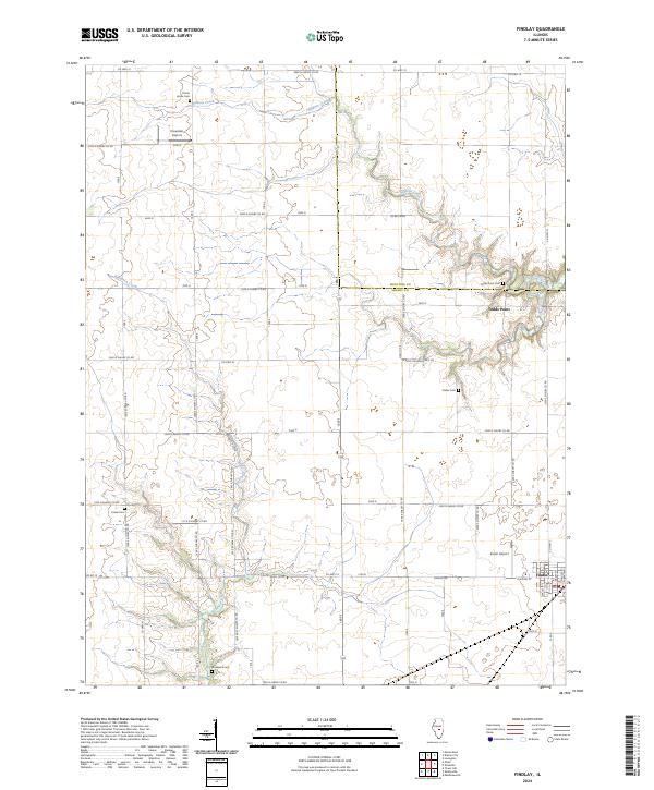 2024 Findlay2024 Print · USGSThe village of Findlay and its surrounding Shelby County farmlands are shown in this modern survey of the central Illinois prairie. Genealogists and local historians can trace family locations through numerous rural cemeteries, including Todds Point Cem and Brunswick Cem.
 - 2024 Map of Lovington, 2024 Print
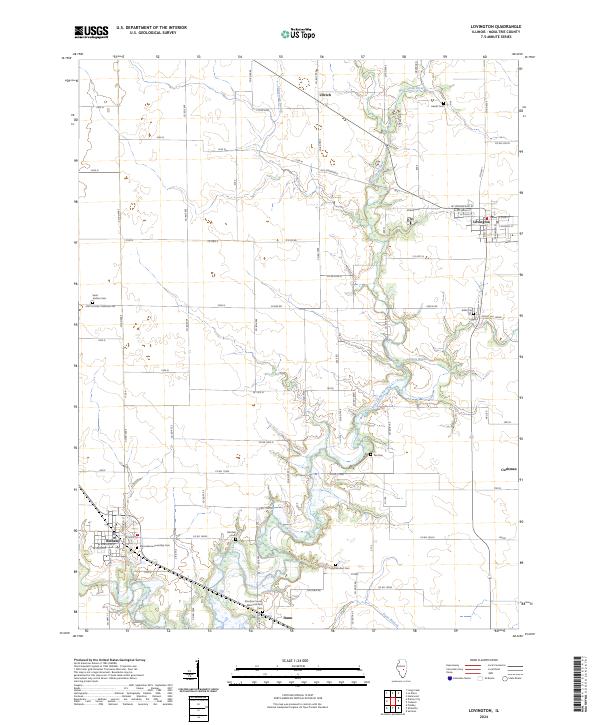 2024 Lovington2024 Print · USGSLovington and Bethany anchor this Moultrie County landscape in 2024, where the winding West Okaw River cuts through the prairie. Genealogists can trace family sites at Marrowbone Township Cem, Pea Cem, and Mitchell Cem among several others.
 - 2024 Map of Cooks Mills, 2024 Print
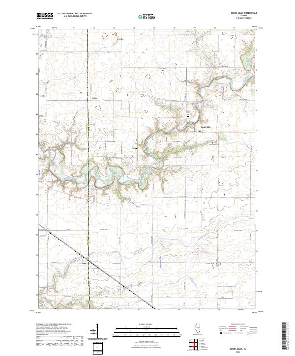 2024 Cooks Mills2024 Print · USGSThe Kaskaskia River valley in Coles and Moultrie counties is shown here in the 2020s, highlighting the enduring rural character of central Illinois. Researchers can locate family landmarks such as Smith Cem, Pierce Cem, and the settlement at Cooks Mills.
 - 2024 Map of Sullivan, 2024 Print
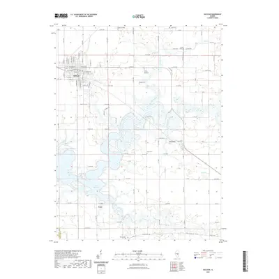
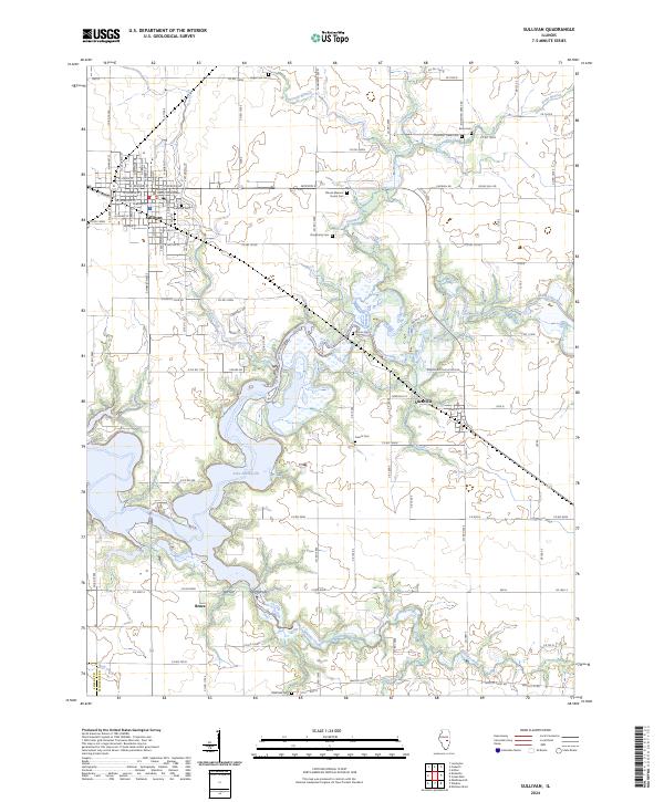 2024 Sullivan2024 Print · USGSSullivan and its surrounding prairie landscape are shown here as they appear today, dominated by the waters of Lake Shelbyville. Genealogists and local historians can trace family locations near Illinois Masonic Home Cem, Daugherty Cem, and the village of Allenville.
Showing maps 1-25 of 28
Top cities of Moultrie County
- Sullivan historical maps
- Bethany historical maps
- Lovington historical maps
- Dalton City historical maps
- Gays historical maps
- Allenville historical maps
Frequently asked questions
- What are the different types of historical maps available for Moultrie County?
- What is the oldest map of Moultrie County?
- Where can I purchase historical maps of Moultrie County for my home or office?
- Where can I download high-res historical maps of Moultrie County?
- Are there historical topographic maps available for Moultrie County?
- Is there historical aerial imagery available for Moultrie County?
- Where are historical maps of Moultrie County sourced from?