2000s (21st Century) Maps of Pana, Illinois
Explore 10 historic maps of Pana from the 2000s (21st Century). These maps offer a rare glimpse into what life looked like during the 2000s — showing old roads, neighborhoods, homes, and landmarks that have changed or disappeared over time.
Whether you're researching your family's past, planning a metal detecting trip, or studying how Pana's landscape evolved across the 2000s, these high-resolution maps are a powerful tool for exploring the history of this region.
- Focus on a specific era: All maps on this page are from the 2000s, giving you a focused view of this time period.
- See what’s changed: Compare century-old streets, trails, and buildings to today's modern landscape using overlays and satellite layers.
- Research with precision: Use these maps for genealogy, historical research, land use analysis, or educational projects.
- View, download, or print: Maps are fully viewable online in high resolution, and can be downloaded or printed for your own records.
Start exploring Pana's history through authentic maps from the 2000s. This is your window into the past.
Pana, IL maps
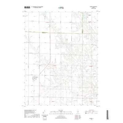
(10)- 2012 Map of Pana, 2012 Print
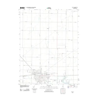 2012 Pana2012 Print · USGSCovers Pana, including Dunkel, Christian County, and other nearby areas
 - 2012 Map of Oconee, 2012 Print
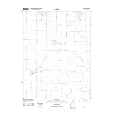 2012 Oconee2012 Print · USGSCovers Pana, including Oconee, Christian County, and other nearby areas
 - 2015 Map of Oconee, 2015 Print
 2015 Oconee2015 Print · USGSCovers Pana, including Oconee, Christian County, and other nearby areas
 - 2015 Map of Pana, 2015 Print
 2015 Pana2015 Print · USGSCovers Pana, including Dunkel, Christian County, and other nearby areas
 - 2018 Map of Oconee, 2018 Print
 2018 Oconee2018 Print · USGSCovers Pana, including Oconee, Christian County, and other nearby areas
 - 2018 Map of Pana, 2018 Print
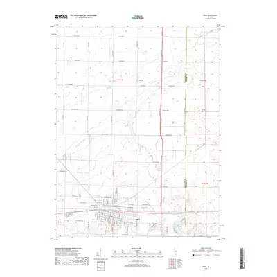 2018 Pana2018 Print · USGSCovers Pana, including Dunkel, Christian County, and other nearby areas
 - 2021 Map of Pana, 2021 Print
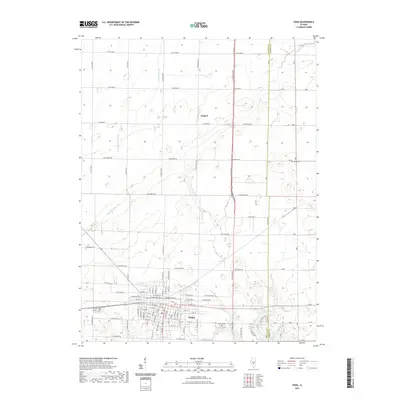 2021 Pana2021 Print · USGSCovers Pana, including Dunkel, Christian County, and other nearby areas
 - 2021 Map of Oconee, 2021 Print
 2021 Oconee2021 Print · USGSCovers Pana, including Oconee, Christian County, and other nearby areas
 - 2024 Map of Pana, 2024 Print
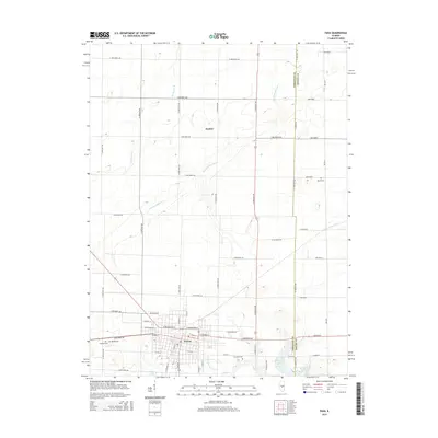
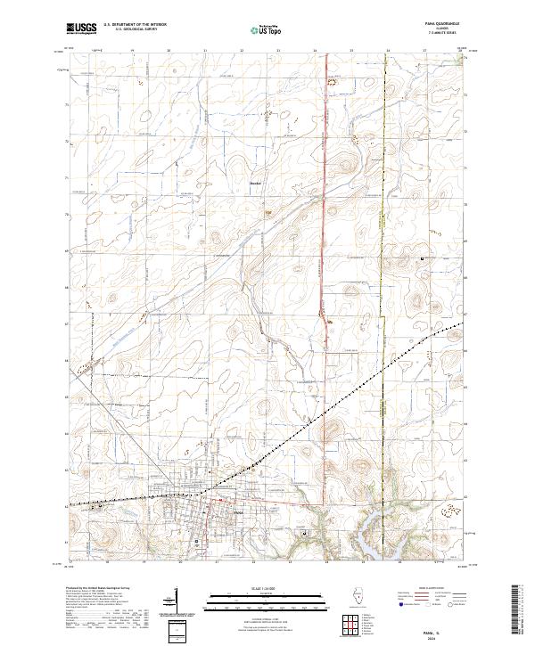 2024 Pana2024 Print · USGSThe township of Pana and the surrounding prairie are captured here in the early 21st century, showing the intersection of Christian and Shelby counties. Genealogists and local historians can trace the town’s street grid and locate burial sites like Mound Cem and Mauz Cem.
 - 2024 Map of Oconee, 2024 Print
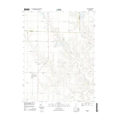
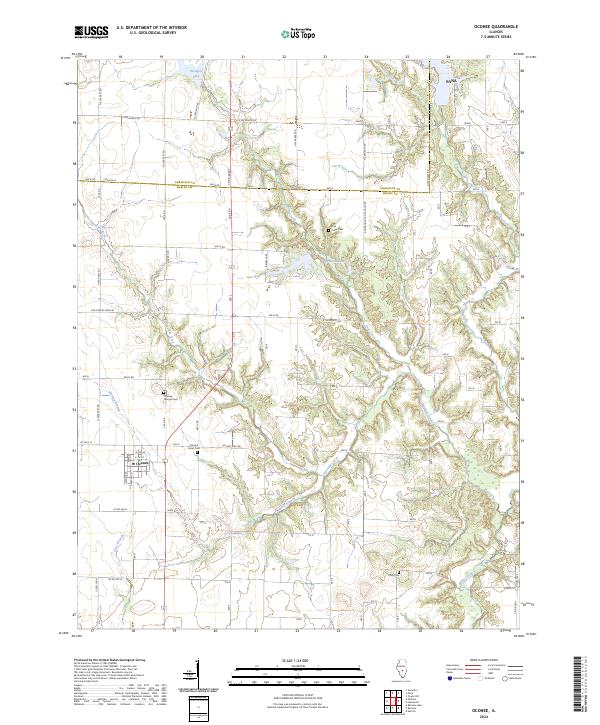 2024 Oconee2024 Print · USGSThe Shelby and Christian County borderlands are mapped here in the modern era, showing the village of Oconee and the rural reaches south of Pana. Genealogists can locate several historic burial sites, such as Coal Creek Cem and Price Cem.
End of results
Showing maps 1-10 of 10
Top cities near Pana
- Taylorville historical maps
- Shelbyville historical maps
- Nokomis historical maps
- Assumption historical maps
- Tower Hill historical maps
- Cowden historical maps
See more
Frequently asked questions
- What are the different types of historical maps available for Pana?
- What is the oldest map of Pana?
- Where can I purchase historical maps of Pana for my home or office?
- Where can I download high-res historical maps of Pana?
- Are there historical topographic maps available for Pana?
- Is there historical aerial imagery available for Pana?
- Where are historical maps of Pana sourced from?