2024 Map of Pana
USGS Topo · Published 2024About this map
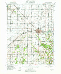
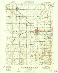
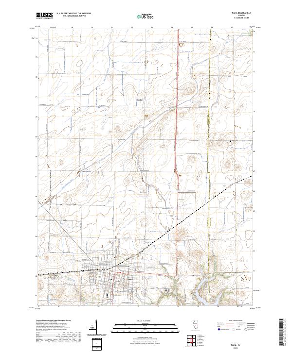
Pana serves as the central hub of this central Illinois landscape, showing a dense residential grid punctuated by local streets like W Dewitt St and Jackson St. The town is surrounded by a network of rural routes, including Co Hwy 12 and E 400 North Rd, which connect the urban center to the outlying agricultural regions of Christian and Shelby counties. The transition between the township and the countryside is marked by several burial grounds, such as Linwood Cem and Calvary Cem, which offer significant value for genealogical research.
Find a feature on this map
83 named features on this map. Tap any name to fly to it.
Don’t see what you’re looking for? This feature index may not catch every label — zoom into the map to look around manually.
Map Details
Editions of this 2024 Pana Map
This is the sole edition of this map. No revisions or reprints were ever made.
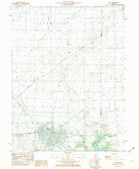
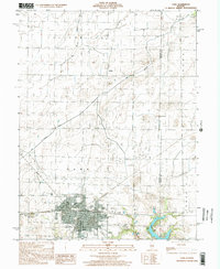
Historical Maps of Pana Through Time
5 maps found