Old Maps of Pittsfield, Illinois for Genealogy
Trace your family roots with 28 historic maps of Pittsfield. These high-res maps reveal old neighborhoods, homesites, landmarks, and streets — helping you uncover where your ancestors lived and how the area evolved over time.
- Explore historic neighborhoods: Identify where your relatives may have lived in the 1800s or 1900s.
- Compare maps over time: Trace the changes in streets, buildings, and landmarks for multi-generational research.
- Perfect for genealogy & ancestry research: Used by family historians and researchers to map out lineage and migration.
These maps are an incredible resource for exploring your personal connection to Pittsfield's past.
Pittsfield, IL maps
(28)- 1924 Map of Griggsville, 1959 Print
 1924 Griggsville1959 Print · USGSPike and Scott counties are captured during the mid-1920s as the Illinois River and Wabash RR defined local commerce. Researchers can trace rural life through dozens of named landmarks like Brush College School, Bethel Church, and Sleight Pond.2 unique versions available
 - 1926 Map of Griggsville
 1926 Griggsville1926 Print · USGSThe Illinois River valley in the 1920s is captured here at the height of its rail-and-river economy. Genealogists and historians can trace dozens of rural schools and landmarks including Brush College School, Bethel Church, and the Wabash RR corridor.2 unique versions available
 - 1926 Map of Pittsfield
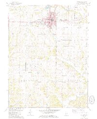
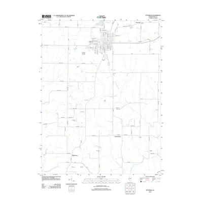
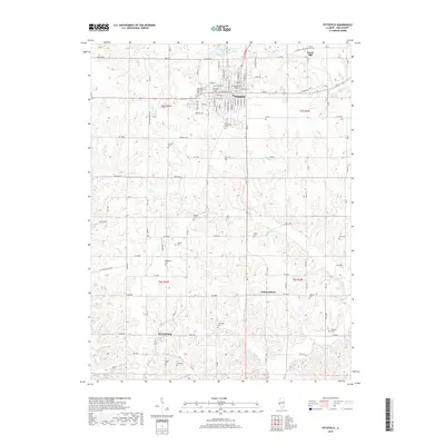
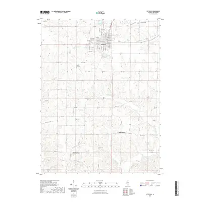
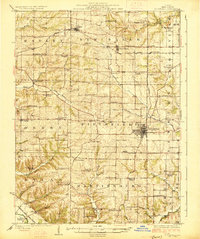 1926 Pittsfield1926 Print · USGSPike County in the mid-twenties is a landscape of thriving rural school districts and small rail-side hamlets. Genealogists can locate family schoolhouses like Philadelphia School and Walnut Grove School or trace the early paths of the Wabash railroad through Pittsfield and Dutton.3 unique versions available
 - 1948 Map of Quincy
 1948 Quincy1948 Print · USGSThe Mississippi and Illinois River valleys are captured at a post-war crossroads as rail and river travel met the expanding highway system. Genealogists can trace family settlements from Quincy to Hannibal and smaller towns like Vandalia and Jerseyville.2 unique versions available
 - 1956 Map of Quincy, 1967 Print
 1956 Quincy1967 Print · USGSThe river and rail corridors of the Illinois-Missouri border are documented here during the mid-1950s. Researchers can trace historic river landings and regional transit hubs from Quincy and Hannibal to smaller settlements like Meredosia and Roodhouse.3 unique versions available
 - 1975 Map of Pittsfield SE, 1976 Print
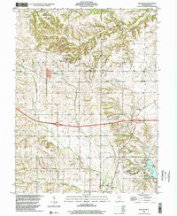
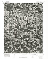 1975 Pittsfield SE1976 Print · USGSPike County farmland and rural settlements are captured in high detail mid-decade during this 1970s aerial survey. Genealogists and local historians can trace the precise 1975 footprints of Pittsfield and the smaller community of Martinsburg.
 - 1980 Map of Griggsville, 1981 Print
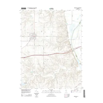
 1980 Griggsville1981 Print · USGSPike County at the start of the 1980s reveals a landscape of bluff-side settlements and river commerce along the Illinois. Researchers can trace the rail corridor of the Norfolk and Western or locate local landmarks like Holy Family Ch and Griggsville Landing.
 - 1981 Map of New Salem
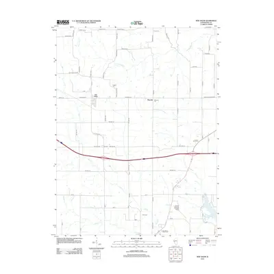
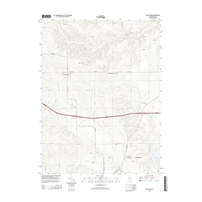
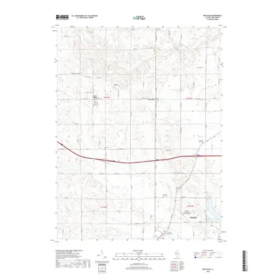
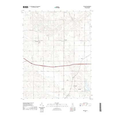
 1981 New Salem1981 Print · USGSPike County's rural landscape is captured in the early 1980s as the Norfolk and Western line passed through New Salem. Researchers can trace family plots like Simpkins-Brown Cem and explore the development of Lake Pittsfield.
 - 1981 Map of Pittsfield
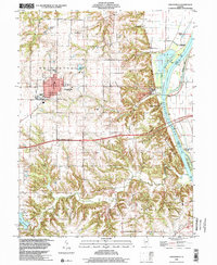
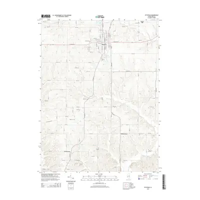
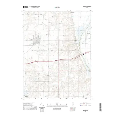
 1981 Pittsfield1981 Print · USGSThe Pike County seat and its surrounding townships are shown here in the early eighties, capturing a landscape of small agricultural communities and rural burial grounds. Genealogists can locate numerous sites including Oakwood Cem, Tamsett Cem, and Martinsburg.2 unique versions available
 - 1985 Map of Meredosia, 1988 Print
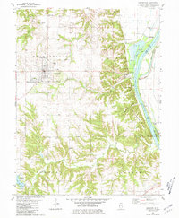
 1985 Meredosia1988 Print · USGSWest Central Illinois in the mid-eighties was a landscape of deep-rooted river towns and historic educational institutions. Genealogists and historians can trace family ties through Diamond Grove Cem, locate MacMurray College in Jacksonville, or study the river engineering at La Grange Lock and Dam.
 - 1990 Map of Meredosia
 1990 Meredosia1990 Print · USGSThe Illinois River valley and its surrounding farm towns are captured here in the 1990s. Trace the intricate rail lines of the Norfolk Southern Railway and find local landmarks like Diamond Grove Cem or the Meredosia National Wildlife Refuge.
 - 1998 Map of New Salem, 2001 Print
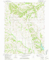
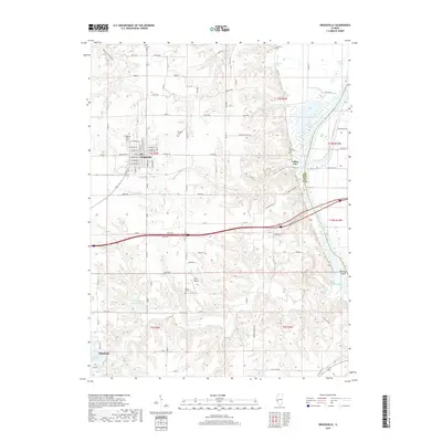
 1998 New Salem2001 Print · USGSNorthern Pike County at the end of the century reveals a landscape of rolling creeks and quiet townships. Genealogists can trace family roots at Staggett Cem or Gray Cem, while exploring the area near Maysville Station.
 - 1998 Map of Griggsville, 2001 Print
 1998 Griggsville2001 Print · USGSIn the final years of the millennium, this area of Pike County shows the town of Griggsville atop the bluffs overlooking the Illinois River. Researchers can trace old transportation routes like the Old Grade and locate family landmarks such as Elledge Cem and the Holy Family Ch.
 - 2012 Map of Griggsville, 2012 Print
 2012 Griggsville2012 Print · USGSCovers Pittsfield, including Griggsville, Valley City, and other nearby areas
 - 2012 Map of New Salem, 2012 Print
 2012 New Salem2012 Print · USGSCovers Pittsfield, including New Salem, Maysville, and other nearby areas
 - 2012 Map of Pittsfield, 2012 Print
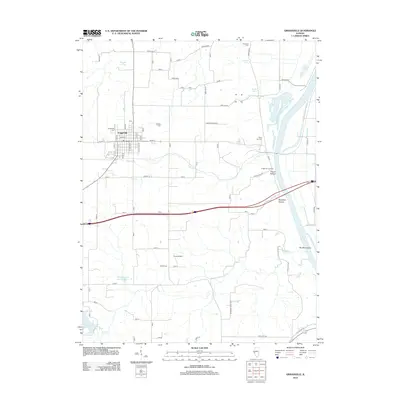
 2012 Pittsfield2012 Print · USGSCovers Pittsfield, including Martinsburg, Sunny Hill, and other nearby areas
 - 2015 Map of New Salem, 2015 Print
 2015 New Salem2015 Print · USGSCovers Pittsfield, including New Salem, Maysville, and other nearby areas
 - 2015 Map of Griggsville, 2015 Print
 2015 Griggsville2015 Print · USGSCovers Pittsfield, including Griggsville, Valley City, and other nearby areas
 - 2015 Map of Pittsfield, 2015 Print
 2015 Pittsfield2015 Print · USGSCovers Pittsfield, including Martinsburg, Sunny Hill, and other nearby areas
 - 2018 Map of New Salem, 2018 Print
 2018 New Salem2018 Print · USGSCovers Pittsfield, including New Salem, Maysville, and other nearby areas
 - 2018 Map of Pittsfield, 2018 Print
 2018 Pittsfield2018 Print · USGSCovers Pittsfield, including Martinsburg, Sunny Hill, and other nearby areas
 - 2018 Map of Griggsville, 2018 Print
 2018 Griggsville2018 Print · USGSCovers Pittsfield, including Griggsville, Valley City, and other nearby areas
 - 2021 Map of Griggsville, 2021 Print
 2021 Griggsville2021 Print · USGSCovers Pittsfield, including Griggsville, Valley City, and other nearby areas
 - 2021 Map of New Salem, 2021 Print
 2021 New Salem2021 Print · USGSCovers Pittsfield, including New Salem, Maysville, and other nearby areas
 - 2021 Map of Pittsfield, 2021 Print
 2021 Pittsfield2021 Print · USGSCovers Pittsfield, including Martinsburg, Sunny Hill, and other nearby areas
Showing maps 1-25 of 28
Top cities near Pittsfield
- Griggsville historical maps
- Pleasant Hill historical maps
- Atlas historical maps
- Montezuma historical maps
- Martinsburg historical maps
- Perry historical maps
See more
Frequently asked questions
- What are the different types of historical maps available for Pittsfield?
- What is the oldest map of Pittsfield?
- Where can I purchase historical maps of Pittsfield for my home or office?
- Where can I download high-res historical maps of Pittsfield?
- Are there historical topographic maps available for Pittsfield?
- Is there historical aerial imagery available for Pittsfield?
- Where are historical maps of Pittsfield sourced from?