Old Maps of Pleasant Hill, Illinois for Metal Detecting
Plan your next treasure hunt with 19 historic maps of Pleasant Hill. Find old homesites, ghost towns, trails, and gathering spots that may be lost to time — perfect for identifying promising metal detecting locations.
- Locate forgotten sites: Uncover places like long-lost settlements, abandoned rail lines, or gathering spots.
- Plan better hunts: Use map overlays combined with LiDAR or satellite views to narrow in on historically rich areas.
- Made for detectorists: Thousands of hobbyists use these maps to discover relics, coins, and hidden history.
Use these historic maps to boost your research and find new opportunities beneath the surface of Pleasant Hill.
Pleasant Hill, IL maps
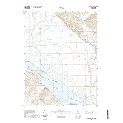
(19)- 1930 Map of Nebo
 1930 Nebo1930 Print · USGSThe Mississippi River bottomlands and Pike County bluffs are shown here in the late twenties, featuring a landscape of sloughs and rail-dependent towns. Trace family roots at Wildcat Cem or locate rural landmarks like Riprap Landing and Old Baptist Sch.
 - 1934 Map of Nebo
 1934 Nebo1934 Print · USGSThe Mississippi River borderlands in the mid-1930s reveal a landscape of river-and-rail commerce and high-ground settlements. Researchers can trace family history through the locations of Corinth Cem, the Greenwing Club, and rural schoolhouses like Farris Sch.4 unique versions available
 - 1942 Map of Nebo
 1942 Nebo1942 Print · USGSThe Mississippi River floodplain and the rising knobs of Missouri appear here as they were in the early 1940s. Genealogists can trace a dense network of rural landmarks, from Salem Sch and Corinth Ch to the riverfront at Clarksville and Annada.2 unique versions available
 - 1948 Map of Quincy
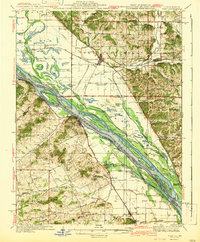
 1948 Quincy1948 Print · USGSThe Mississippi and Illinois River valleys are captured at a post-war crossroads as rail and river travel met the expanding highway system. Genealogists can trace family settlements from Quincy to Hannibal and smaller towns like Vandalia and Jerseyville.2 unique versions available
 - 1956 Map of Quincy, 1967 Print
 1956 Quincy1967 Print · USGSThe river and rail corridors of the Illinois-Missouri border are documented here during the mid-1950s. Researchers can trace historic river landings and regional transit hubs from Quincy and Hannibal to smaller settlements like Meredosia and Roodhouse.3 unique versions available
 - 1978 Map of Pleasant Hill West
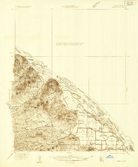
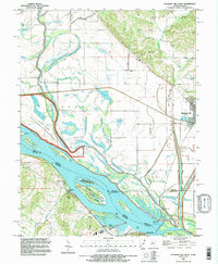
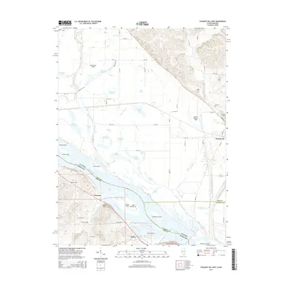
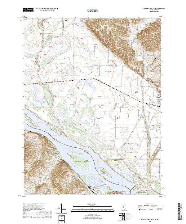
 1978 Pleasant Hill West1978 Print · USGSIn the mid-1970s, the Mississippi River bottomlands were a complex mix of wildlife refuges and rail-driven settlements. You can trace family roots at Wells Cem or explore the river infrastructure near Pleasant Hill and Atlas.2 unique versions available
 - 1978 Map of Pleasant Hill East
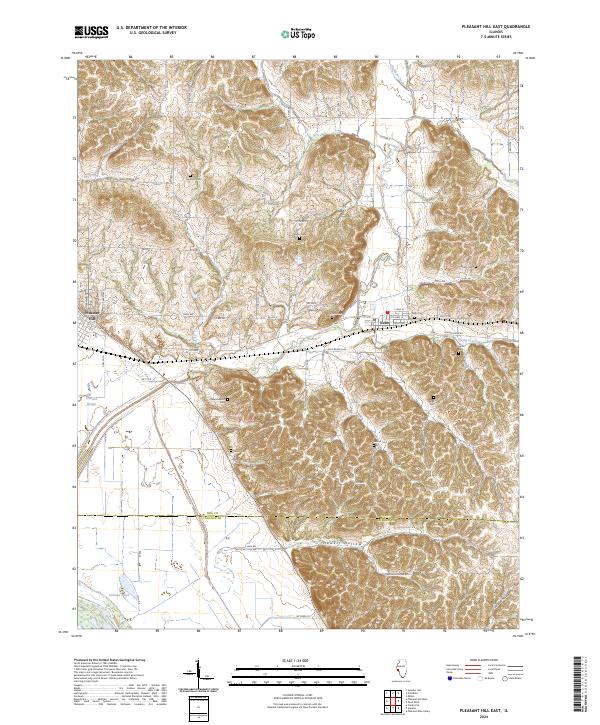
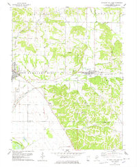 1978 Pleasant Hill East1978 Print · USGSPike and Calhoun Counties come into focus in the late 1970s as agricultural life meets the rugged ridge-and-valley terrain. Genealogists can locate family landmarks like Mason Cemetery or Carrollton Ridge Church while tracing the ILLINOIS CENTRAL GULF rail line.
 - 1985 Map of Jerseyville
 1985 Jerseyville1985 Print · USGSThe confluence of the Illinois and Mississippi rivers defines this 1980s landscape of fertile bottomlands and rail-hub towns. Genealogists and historians can trace the foundations of communities like Jerseyville and White Hall alongside the Oak Grove Cem and St Mary Church.2 unique versions available
 - 1993 Map of Pleasant Hill West, 1996 Print
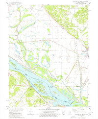
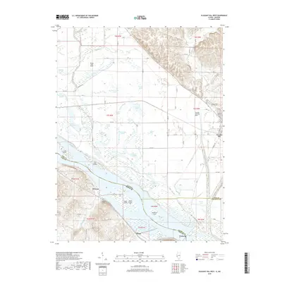
 1993 Pleasant Hill West1996 Print · USGSThe Illinois-Missouri borderlands appear in the mid-1990s as a highly engineered landscape of river islands, sloughs, and levees. Researchers can trace family history at Martinsburg Cem or study river navigation at Lock and Dam No 24 and The Sny.
 - 2012 Map of Pleasant Hill West, 2012 Print
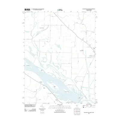 2012 Pleasant Hill West2012 Print · USGSCovers Pleasant Hill, including Clarksville, McIntosh, and other nearby areas
 - 2012 Map of Pleasant Hill East, 2012 Print
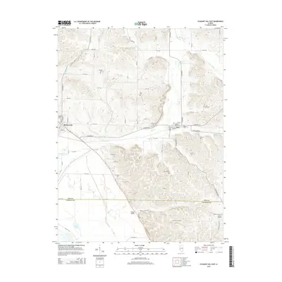
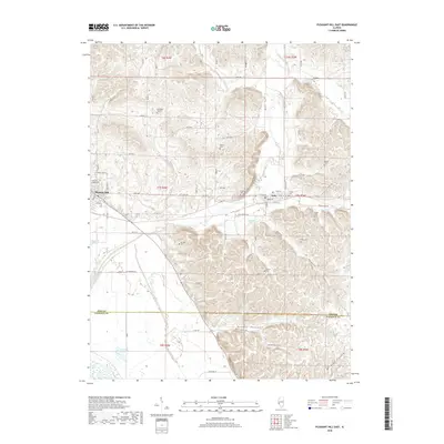
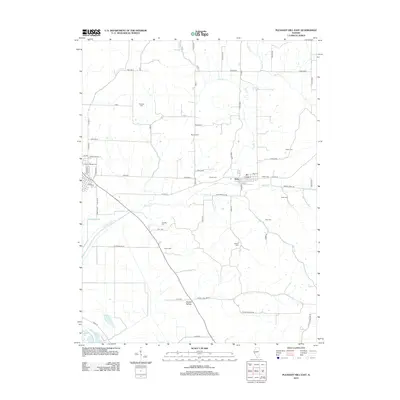 2012 Pleasant Hill East2012 Print · USGSCovers Pleasant Hill, including Nebo, Pike County, and other nearby areas
 - 2015 Map of Pleasant Hill East, 2015 Print
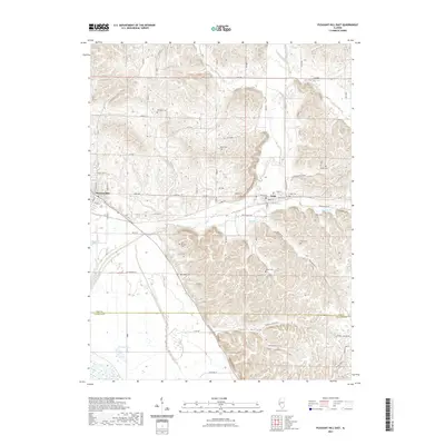
 2015 Pleasant Hill East2015 Print · USGSCovers Pleasant Hill, including Nebo, Pike County, and other nearby areas
 - 2015 Map of Pleasant Hill West, 2015 Print
 2015 Pleasant Hill West2015 Print · USGSCovers Pleasant Hill, including Clarksville, McIntosh, and other nearby areas
 - 2018 Map of Pleasant Hill West, 2018 Print
 2018 Pleasant Hill West2018 Print · USGSCovers Pleasant Hill, including Clarksville, McIntosh, and other nearby areas
 - 2018 Map of Pleasant Hill East, 2018 Print
 2018 Pleasant Hill East2018 Print · USGSCovers Pleasant Hill, including Nebo, Pike County, and other nearby areas
 - 2021 Map of Pleasant Hill East, 2021 Print
 2021 Pleasant Hill East2021 Print · USGSCovers Pleasant Hill, including Nebo, Pike County, and other nearby areas
 - 2021 Map of Pleasant Hill West, 2021 Print
 2021 Pleasant Hill West2021 Print · USGSCovers Pleasant Hill, including Clarksville, McIntosh, and other nearby areas
 - 2024 Map of Pleasant Hill East, 2024 Print
 2024 Pleasant Hill East2024 Print · USGSThe bluffs of Pike County come alive in this recent survey, showing the transition from the Mississippi bottomlands to the interior ridges. Researchers can locate nearly a dozen local burial sites, including New Venable Cem, Hollis Cem, and Nebo Cem.
 - 2024 Map of Pleasant Hill West, 2024 Print
 2024 Pleasant Hill West2024 Print · USGSThe Mississippi River bottoms of Pike County come to life in this recent survey of the Illinois-Missouri border. Genealogists and local historians can trace family plots at Crescent Heights Cem and Sapp Cem or explore the shifting banks of The Sny.
End of results
Showing maps 1-19 of 19
Top cities near Pleasant Hill
- Pittsfield historical maps
- Louisiana historical maps
- Atlas historical maps
- Clarksville historical maps
- Eolia historical maps
- Martinsburg historical maps
See more
Frequently asked questions
- What are the different types of historical maps available for Pleasant Hill?
- What is the oldest map of Pleasant Hill?
- Where can I purchase historical maps of Pleasant Hill for my home or office?
- Where can I download high-res historical maps of Pleasant Hill?
- Are there historical topographic maps available for Pleasant Hill?
- Is there historical aerial imagery available for Pleasant Hill?
- Where are historical maps of Pleasant Hill sourced from?