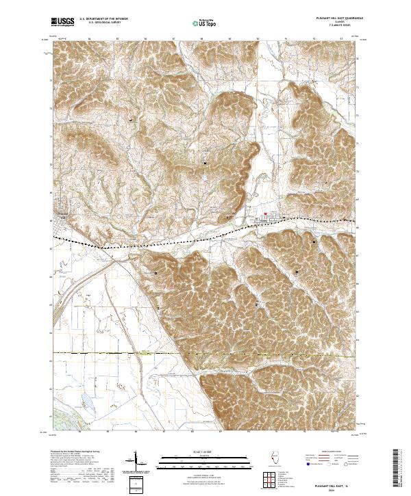
2024 Map of Pleasant Hill East
USGS Topo · Published 2024About this map
Pleasant Hill and Nebo anchor this portion of the Illinois landscape, where the flatlands of the Mississippi floodplain meet the deeply dissected bluffs of the interior. The contrast in terrain is immediate, with the western edge defined by drainage features like Crooked Slough and Dolman Pond, while the eastern portion is dominated by narrow ridges and steep hollows. The distribution of family and community burial grounds across these ridges is remarkable, serving as a primary record of rural settlement patterns.
Find a feature on this map
59 named features on this map. Tap any name to fly to it.
Don’t see what you’re looking for? This feature index may not catch every label — zoom into the map to look around manually.
Map Details
Editions of this 2024 Pleasant Hill East Map
This is the sole edition of this map. No revisions or reprints were ever made.
Other maps of this area

1924 · Griggsville
USGS Topo · 1:62,500

1926 · Griggsville
USGS Topo · 1:62,500

1926 · Pittsfield
USGS Topo · 1:62,500

1930 · Pearl
USGS Topo · 1:62,500

1930 · Nebo
USGS Topo · 1:62,500

1934 · Nebo
USGS Topo · 1:48,000

1942 · Nebo
USGS Topo · 1:62,500

1948 · Quincy
USGS Topo · 1:250,000

1950 · Pearl
USGS Topo · 1:62,500

1956 · Quincy
USGS Topo · 1:250,000