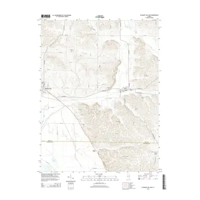
2015 Map of Pleasant Hill East
USGS Topo · Published 2015About this map
Pleasant Hill and Nebo anchor this 2015 survey of the river-valley landscape at the Pike Co and Calhoun Co border. The terrain transitions from the low-lying wetlands of Crooked Slough and Dolman Pond in the southwest to the deeply dissected bluffs and hollows of the eastern interior. This region is marked by an exceptional concentration of family and community burial grounds, including Hartsock Cem, Mason Cem, and Venable Cem, which trace the legacy of early settlement along the tributaries of Bay Creek. The map documents the intricate network of local routes like Co Highway 10 and Co Highway 7 that navigate between steep ridges like Howell Hollow and Wildcat Hollow, illustrating how the physical geography of the Mississippi River floodplain has shaped the rural development and road patterns of these Illinois counties.
Find a feature on this map
74 named features on this map. Tap any name to fly to it.
Don’t see what you’re looking for? This feature index may not catch every label — zoom into the map to look around manually.
Map Details
Editions of this 2015 Pleasant Hill East Map
This is the sole edition of this map. No revisions or reprints were ever made.
Other maps of this area

1924 · Griggsville
USGS Topo · 1:62,500

1926 · Griggsville
USGS Topo · 1:62,500

1926 · Pittsfield
USGS Topo · 1:62,500

1930 · Pearl
USGS Topo · 1:62,500

1930 · Nebo
USGS Topo · 1:62,500

1934 · Nebo
USGS Topo · 1:48,000

1942 · Nebo
USGS Topo · 1:62,500

1948 · Quincy
USGS Topo · 1:250,000

1950 · Pearl
USGS Topo · 1:62,500

1956 · Quincy
USGS Topo · 1:250,000