Old Maps of East Carondelet, Illinois for Academic Research
Study the evolution of East Carondelet with 27 high-resolution historic maps. Whether you're teaching, researching, or modeling changes in land use, these maps provide essential visual documentation of urban, environmental, and geographic change.
- Analyze long-term change: Track patterns in development, transportation, and natural features.
- Ideal for environmental or urban studies: Support academic projects with primary historical map data.
- Use in the classroom or lab: Educators and researchers rely on these maps to bring historical context to life.
These maps are a powerful tool for teaching, research, and visualizing how East Carondelet has changed over the decades.
East Carondelet, IL maps
(27)- 1888 Map of St. Louis
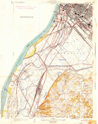
 1888 St. Louis1888 Print · USGSThe Illinois bottomlands across from St. Louis come alive in the late nineteenth century as a massive railroad hub emerging from the river wetlands. Researchers can trace early rail junctions and settlements like French Village, the ancient Monks Mound, and the industrial waterfronts of Brooklyn and East St Louis.
 - 1933 Map of Jefferson Barracks
 1933 Jefferson Barracks1933 Print · USGSSouth St. Louis County and the riverfront during the mid-thirties reveal a landscape of expanding suburbs and deep military roots. Genealogists and historians can trace family plots in National Cem or locate the early centers of Luxemburg and Affton PO Grevois Sta.
 - 1933 Map of Cahokia
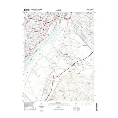
 1933 Cahokia1933 Print · USGSThe riverfront neighborhoods of south St. Louis are captured in detail during the early 1930s, showing a bustling landscape of schools and industry. Genealogists can trace family locations near Carondelet, St Anthony Ch, or the Mo Pac Hospital.
 - 1934 Map of Cahokia
 1934 Cahokia1934 Print · USGSThe industrial corridor and riverfront of St. Clair County are captured here in the mid-1930s as heavy rail and river commerce defined the landscape. Genealogists and historians can trace family-named schools and early settlements like Dupo, Lark Cem, and Falling Spring.2 unique versions available
 - 1940 Map of Cahokia
 1940 Cahokia1940 Print · USGSThe industrial riverfront south of St Louis thrived in the early twentieth century as a massive rail and shipping hub. Trace the development of Cahokia and Dupo or locate landmarks like the U S Marine Hospital and the Lark Cem.3 unique versions available
 - 1941 Map of Jefferson Barracks
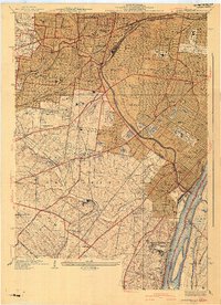 1941 Jefferson Barracks1941 Print · USGSThe suburbs south of St. Louis were maturing into a dense network of rail-side towns and institutions just before the mid-century. Genealogists and historians can trace family roots through numerous sites like Grants Farm, National Cemetery, and Webster College.3 unique versions available
 - 1949 Map of Saint Louis
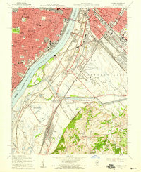
 1949 Saint Louis1949 Print · USGSGreater St. Louis and its surrounding river valleys are captured here just after the war, showing the metropolitan core and the rural Ozark fringe. Researchers can trace the sprawling rail network of the Wabash RR or locate landmarks like Meramec Caverns Airport and Scott Air Force Base.2 unique versions available
 - 1949 Map of Cahokia, 1954 Print
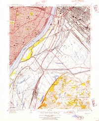 1949 Cahokia1954 Print · USGSMid-century development and heavy industry define this riverfront region as St. Louis expands toward the Illinois rail yards. Researchers can trace the heritage of Dupo and Cahokia, locate St Josephs Cem, or find industrial landmarks like Monsanto.2 unique versions available
 - 1954 Map of Webster Groves, 1959 Print
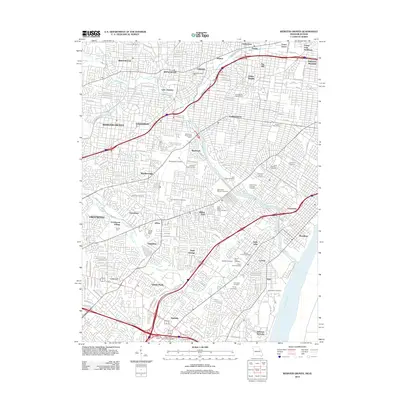
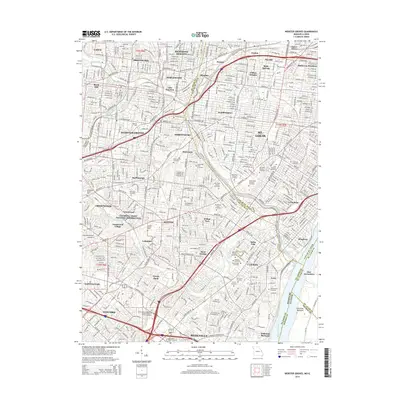
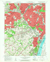 1954 Webster Groves1959 Print · USGSMid-century St. Louis and Webster Groves appear here during a period of rapid suburban maturation and institutional development. Genealogists can trace family sites near Jefferson Barracks, Resurrection Cemetery, and Luxemburg.5 unique versions available
 - 1954 Map of Cahokia, 1959 Print
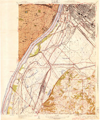
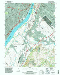
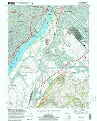
 1954 Cahokia1959 Print · USGSMid-century St. Louis and East St. Louis are documented here at a peak of rail and river industry along the Mississippi River. Genealogists and historians can trace local landmarks from Old Cathedral and Holy Family Cem to the early aviation history of Parks Metropolitan Airport.5 unique versions available
 - 1962 Map of St. Louis
 1962 St. Louis1962 Print · USGSThe mid-century gateway to the west shows the metropolitan expansion of St Louis alongside its critical river confluences. Genealogists and historians can trace the rail corridors of the Missouri Pacific RR and settlements from Fulton to De Soto.
 - 1963 Map of St. Louis, 1970 Print
 1963 St. Louis1970 Print · USGSSt. Louis and its surrounding river valleys are captured here during the peak of mid-century suburban expansion and industrial activity. Trace the historic rail routes of the Norfolk and Western Ry or locate the St Louis Ordnance Plant and early stretches of US Highway 66.4 unique versions available
 - 1966 Map of St. Louis
 1966 St. Louis1966 Print · USGSThe St. Louis metropolitan area and its surrounding river valleys are captured here during the mid-sixties era of suburban growth and industrial strength. Genealogists and historians can trace the foundations of local communities through sites like Old Pioneer Cem, Parks College, and the Jefferson Barracks Military Reservation.
 - 1985 Map of St Louis
 1985 St Louis1985 Print · USGSThe St. Louis metropolitan area and its river confluences are captured here during a period of significant suburban expansion in the 1980s. Genealogists and historians can trace the development of older neighborhoods and landmarks like Jefferson Barracks, Cahokia Mounds State Park, and Washington University.3 unique versions available
 - 1993 Map of Cahokia, 1996 Print
 1993 Cahokia1996 Print · USGSThe industrial heart of the Mississippi riverfront comes alive in this survey of the St. Louis and East St. Louis corridor. Genealogists can trace family connections at Holy Family Cem or Bohnemeier Cem while exploring the rail hubs of Dupo.
 - 1993 Map of Webster Groves, 1996 Print
 1993 Webster Groves1996 Print · USGSThe southwestern suburbs of St. Louis are shown in the early nineties, revealing a dense landscape of established neighborhoods and major cemetery grounds. Genealogists can trace family sites at Ss Peter and Paul Cemetery or explore the historic Jefferson Barracks riverfront.
 - 1998 Map of Cahokia, 1999 Print
 1998 Cahokia1999 Print · USGSThe industrial riverfronts of St. Louis and East St. Louis are captured here in the late 1990s as they bridge the Mississippi River. Genealogists and local historians can trace legacy sites like Holy Family Cem, Arsenal Island, and the U S Engineers Depot.
 - 1998 Map of Webster Groves, 1999 Print
 1998 Webster Groves1999 Print · USGSThe southern suburbs of St. Louis are shown in high detail during the late nineties, documenting a landscape shaped by rail lines and riverfront industry. Researchers can trace historic burial sites like Resurrection Cemetery and the sprawling grounds of Jefferson Barracks.2 unique versions available
 - 2012 Map of Webster Groves, 2012 Print
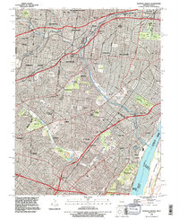
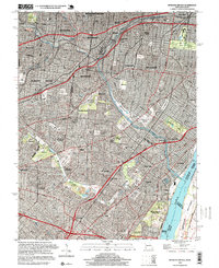
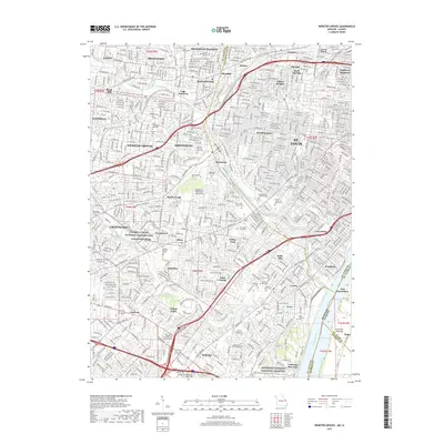
 2012 Webster Groves2012 Print · USGSCovers East Carondelet, including Mehlville, Webster Groves, and other nearby areas
 - 2012 Map of Cahokia, 2012 Print
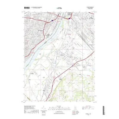
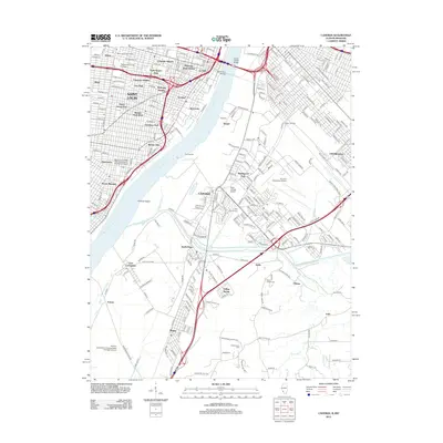 2012 Cahokia2012 Print · USGSCovers East Carondelet, including Cahokia Heights, East St. Louis, and other nearby areas
 - 2015 Map of Webster Groves, 2015 Print
 2015 Webster Groves2015 Print · USGSCovers East Carondelet, including Mehlville, Webster Groves, and other nearby areas
 - 2015 Map of Cahokia, 2015 Print
 2015 Cahokia2015 Print · USGSCovers East Carondelet, including Cahokia Heights, East St. Louis, and other nearby areas
 - 2017 Map of Webster Groves, 2017 Print
 2017 Webster Groves2017 Print · USGSCovers East Carondelet, including Mehlville, Webster Groves, and other nearby areas
 - 2018 Map of Cahokia, 2018 Print
 2018 Cahokia2018 Print · USGSCovers East Carondelet, including Cahokia Heights, East St. Louis, and other nearby areas
 - 2021 Map of Cahokia, 2021 Print
 2021 Cahokia2021 Print · USGSCovers East Carondelet, including Cahokia Heights, East St. Louis, and other nearby areas
Showing maps 1-25 of 27
Top cities near East Carondelet
- St. Louis historical maps
- Saint Charles historical maps
- Belleville historical maps
- Oakville historical maps
- University City historical maps
- Kirkwood historical maps
See more
Top neighborhoods of East Carondelet
Frequently asked questions
- What are the different types of historical maps available for East Carondelet?
- What is the oldest map of East Carondelet?
- Where can I purchase historical maps of East Carondelet for my home or office?
- Where can I download high-res historical maps of East Carondelet?
- Are there historical topographic maps available for East Carondelet?
- Is there historical aerial imagery available for East Carondelet?
- Where are historical maps of East Carondelet sourced from?