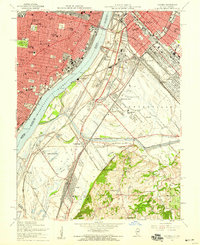
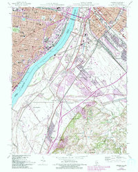
1954 Map of Cahokia
USGS Topo · Published 1959About this map
The Mississippi River serves as the dividing line between the dense urban landscape of St Louis and the industrial riverfronts of East St Louis and Monsanto during the mid-1950s. This survey captures a highly developed transportation network, including the Mac Arthur Bridge (Toll) and several major rail lines like the Terminal Railroad Association and Illinois Central Railroad. Notable institutions like the Missouri School for Blind, Old Cathedral, and numerous high schools such as McKinley High Sch and Lincoln High Sch anchor the Missouri side. To the southeast, the landscape shifts toward the smaller community of Cahokia, where the Holy Family Cem and Parks College reside. The presence of the Parks Metropolitan Airport and various industrial facilities like Sugar Tanks and Gas Tanks illustrate the region's mid-century role as a logistical and industrial powerhouse.
Find a feature on this map
90 named features on this map. Tap any name to fly to it.
Don’t see what you’re looking for? This feature index may not catch every label — zoom into the map to look around manually.
Map Details
Editions of this 1954 Cahokia Map
5 editions found
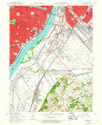
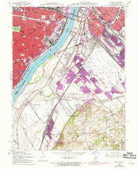
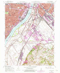
Other maps of this area

1888 · St. Louis
USGS Topo · 1:62,500

1910 · Waterloo
USGS Topo · 1:62,500

1912 · Kimmswick
USGS Topo · 1:62,500

1913 · Waterloo
USGS Topo · 1:62,500

1916 · Kimmswick
USGS Topo · 1:62,500

1931 · French Village
USGS Topo · 1:24,000

1933 · Granite City
USGS Topo · 1:24,000

1933 · Jefferson Barracks
USGS Topo · 1:24,000

1933 · Cahokia
USGS Topo · 1:24,000

1933 · Clayton
USGS Topo · 1:24,000