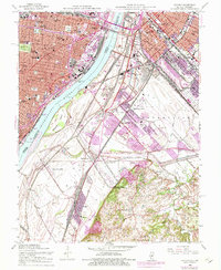
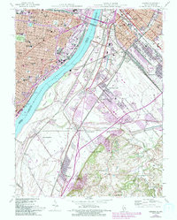
1954 Map of Cahokia
USGS Topo · Published 1975About this map
St Louis and East St Louis anchor this mid-century portrait of the Mississippi riverfront, where the industrial strength of the Illinois side meets the established institutional core of Missouri. The river is a massive logistical corridor, spanned by the Mac Arthur Bridge and lined with critical infrastructure like the U S Engineers Depot and U S Coast Guard station. On the Illinois side, a dense concentration of rail lines including the Illinois Central Gulf Railroad and Terminal Railroad Association serves the riverside communities of Sauget and Cahokia.
Find a feature on this map
67 named features on this map. Tap any name to fly to it.
Don’t see what you’re looking for? This feature index may not catch every label — zoom into the map to look around manually.
Map Details
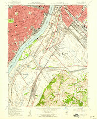
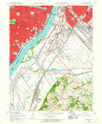
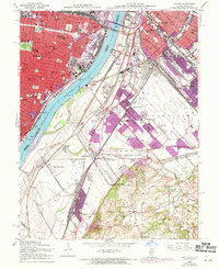
Editions of this 1954 Cahokia Map
5 editions found
Other maps of this area

1888 · St. Louis
USGS Topo · 1:62,500

1910 · Waterloo
USGS Topo · 1:62,500

1912 · Kimmswick
USGS Topo · 1:62,500

1913 · Waterloo
USGS Topo · 1:62,500

1916 · Kimmswick
USGS Topo · 1:62,500

1931 · French Village
USGS Topo · 1:24,000

1933 · Granite City
USGS Topo · 1:24,000

1933 · Jefferson Barracks
USGS Topo · 1:24,000

1933 · Cahokia
USGS Topo · 1:24,000

1933 · Clayton
USGS Topo · 1:24,000