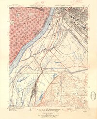
1949 Map of Cahokia
USGS Topo · Published 1954About this map
The industrial and riverfront corridor of the Mississippi River defines this mid-century view of the Illinois-Missouri border. On the eastern bank, the concentrated rail infrastructure of Centreville and Monsanto supports a massive network of lines including the Terminal Railroad Association and the Alton and Southern. The map details the transition from the dense urban grid of St Louis, featuring landmarks like the Missouri School for Blind and Tower Grove Park, to the bottomlands and bluffs of Illinois. Significant local history is found in the older settlements of Cahokia and Prairie du Pont, alongside topographical features like the Sugarloaf ridge. This survey also captures specialized sites such as the U S Army Depot and the Workhouse Quarry, reflecting the post-war industrial landscape of the region.
Find a feature on this map
70 named features on this map. Tap any name to fly to it.
Don’t see what you’re looking for? This feature index may not catch every label — zoom into the map to look around manually.
Map Details
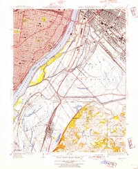
Editions of this 1949 Cahokia Map
2 editions found
Other maps of this area

1888 · St. Louis
USGS Topo · 1:62,500

1910 · Waterloo
USGS Topo · 1:62,500

1912 · Kimmswick
USGS Topo · 1:62,500

1913 · Waterloo
USGS Topo · 1:62,500

1916 · Kimmswick
USGS Topo · 1:62,500

1931 · French Village
USGS Topo · 1:24,000

1933 · Granite City
USGS Topo · 1:24,000

1933 · Jefferson Barracks
USGS Topo · 1:24,000

1933 · Cahokia
USGS Topo · 1:24,000

1933 · Clayton
USGS Topo · 1:24,000