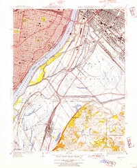
1949 Map of Cahokia
USGS Topo · Published 1954About this map
Industrial corridors and urban expansion dominate this postwar landscape along the Mississippi River, where the Illinois-Missouri border divides the dense grid of St Louis from the rising rail hubs across the water. On the Illinois side, Monsanto and Dupo serve as critical centers for transit and manufacturing, anchored by a massive network of rail lines including the Terminal Railroad Association and the Illinois Central Railroad. The map captures the transition from established St. Louis neighborhoods, home to landmarks like Lafayette Park and the City Hospital, to the floodplains of Centerville where Cahokia Slough and Lily Lake mark the low-lying terrain.
Find a feature on this map
75 named features on this map. Tap any name to fly to it.
Don’t see what you’re looking for? This feature index may not catch every label — zoom into the map to look around manually.
Map Details
Editions of this 1949 Cahokia Map
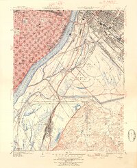
2 editions found
Other maps of this area

1888 · St. Louis
USGS Topo · 1:62,500

1910 · Waterloo
USGS Topo · 1:62,500

1912 · Kimmswick
USGS Topo · 1:62,500

1913 · Waterloo
USGS Topo · 1:62,500

1916 · Kimmswick
USGS Topo · 1:62,500

1931 · French Village
USGS Topo · 1:24,000

1933 · Granite City
USGS Topo · 1:24,000

1933 · Jefferson Barracks
USGS Topo · 1:24,000

1933 · Cahokia
USGS Topo · 1:24,000

1933 · Clayton
USGS Topo · 1:24,000