Old Maps of Stark County, Illinois for Metal Detecting
Plan your next treasure hunt with 75 historic maps of Stark County. Find old homesites, ghost towns, trails, and gathering spots that may be lost to time — perfect for identifying promising metal detecting locations.
- Locate forgotten sites: Uncover places like long-lost settlements, abandoned rail lines, or gathering spots.
- Plan better hunts: Use map overlays combined with LiDAR or satellite views to narrow in on historically rich areas.
- Made for detectorists: Thousands of hobbyists use these maps to discover relics, coins, and hidden history.
Use these historic maps to boost your research and find new opportunities beneath the surface of Stark County.
Stark County, IL maps
(75)- 1893 Map of Dunlap
 1893 Dunlap1893 Print · USGSPeoria County and the Illinois River valley are seen here in the 1890s, when the region was a bustling network of rail towns and river bluffs. Genealogists can trace family roots in early settlements like Dunlap, Princeville, and the river community of Mossville.
 - 1898 Map of Dunlap
 1898 Dunlap1898 Print · USGSPeoria County and its neighboring townships thrive along the river bluffs and rail lines during the late 1890s. Researchers can trace the path of the Atchison Topeka and Santa Fe Railroad and locate vanished rural centers like Wady Petra and Orange Prairie.4 unique versions available
 - 1932 Map of Dunlap
 1932 Dunlap1932 Print · USGSNorth of Peoria in the late nineteenth century, the prairie landscape was being reshaped by a dense network of competing rail lines. Trace old homesteads and vanished stops like Orange Prairie and Wady Petra along the Illinois River bluffs.
 - 1933 Map of Dunlap
 1933 Dunlap1933 Print · USGSPeoria County's agricultural heartland and river bluffs are captured here between the world wars, when coal mines and early airfields sat alongside rural hamlets. Family historians can locate dozens of country schools, family-named cemeteries like Dickison Cem, and the historic Evans Mill Bridge.
 - 1933 Map of Camp Grove
 1933 Camp Grove1933 Print · USGSThe Illinois prairie between Bradford and Camp Grove in the 1930s reveals a landscape of vanished rural schools and early rail lines. Genealogists can trace family footprints at St Johns Cem, Union Ch, or the small settlement of Red Town.
 - 1937 Map of Dunlap
 1937 Dunlap1937 Print · USGSPeoria County and its river bluffs are shown in the 1930s as a vital transportation hub of railroads and early airfields. Researchers can trace rural lineages through the many schools and burial grounds like Lawn Ridge Cem, Prospect Cem, and Hazel Dell Sch.3 unique versions available
 - 1944 Map of Kewanee
 1944 Kewanee1944 Print · USGSHenry and Stark Counties in the 1940s show a landscape of thriving rail towns and closely spaced country schoolhouses. Genealogists can locate family-named landmarks like Cavanagh Cem and Bumble Bee Sch along the Spoon River valley.3 unique versions available
 - 1944 Map of Elmwood, 1967 Print
 1944 Elmwood1967 Print · USGSPeoria and Stark counties during the mid-forties reveal a landscape of thriving rail hubs and tightly knit rural school districts. Researchers can trace the legacy of local education and faith at Paradise Chapel Sch, Jubilee College State Park, and the Southport Cem.2 unique versions available
 - 1945 Map of Bradford
 1945 Bradford1945 Print · USGSSettlement and agriculture in Stark and Bureau Counties reached a peak of rural infrastructure in the mid-1940s. Genealogists can trace family footprints across dozens of country school sites like Osceola Center Sch and churches such as Willow Springs Ch.3 unique versions available
 - 1948 Map of Elmwood
 1948 Elmwood1948 Print · USGSPeoria and Stark counties were bustling agricultural and rail hubs in the late 1940s. Genealogists and historians can trace dozens of country schools and churches, including Paradise Chapel, Dixie Sch, and Southport Cem near the Spoon River.2 unique versions available
 - 1958 Map of Aurora, 1969 Print
 1958 Aurora1969 Print · USGSNorthern Illinois in the late fifties shows a landscape of powerful river industry and expanding transport corridors. Genealogists and historians can trace the development of Aurora and Joliet or locate sites like the Elwood Ordnance Plant and Starved Rock.3 unique versions available
 - 1958 Map of Peoria, 1969 Print
 1958 Peoria1969 Print · USGSCentral Illinois thrived as a hub of education and transport during the late sixties, as the new interstate system began to reshape the prairie. Genealogists and historians can trace local landmarks like Springdale Cem, Bradley University, and the sprawling grounds of Chanute AFB.4 unique versions available
 - 1961 Map of Aurora
 1961 Aurora1961 Print · USGSNorthern Illinois at the height of the post-war era reveals a landscape of massive industrial works and thriving river towns. Genealogists and historians can trace the paths of the Lincoln Highway or locate long-standing landmarks like the Green River Ordnance Plant and Starved Rock State Park.
 - 1961 Map of Peoria
 1961 Peoria1961 Print · USGSCentral Illinois thrived at the intersection of river trade and rail power during the late fifties. Genealogists and local historians can trace the rail networks of the Illinois Central and Wabash, alongside landmarks like Chanute AFB and Weldon Springs State Park.
 - 1963 Map of Peoria
 1963 Peoria1963 Print · USGSCentral Illinois thrived as a rail and highway crossroads during the early sixties, centered on the bustling Illinois River valley. Genealogists and historians can trace the mid-century layout of Peoria, locate the grounds of Chanute Air Force Base, and follow historic lines like the Toledo Peoria and Western Railway.
 - 1982 Map of Edelstein, 1983 Print
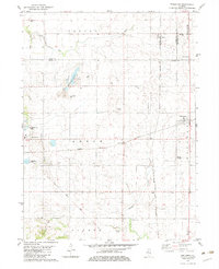 1982 Edelstein1983 Print · USGSPeoria County farming communities thrived along the rail corridors of central Illinois during the early nineteen-eighties. Genealogists can locate several family-named burial sites like Hitchcock Cem and Prospect Cem or trace the Old Railroad Grade near the village of Stark.
 - 1982 Map of Laura, 1983 Print
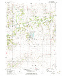 1982 Laura1983 Print · USGSThe Spoon River valley at the start of the 1980s reveals a landscape of industrial strip mining and quiet rural hamlets. Local historians can trace rail history along the Atchison Topeka and Santa Fe and locate family sites at French Grove Cem or Elmore.
 - 1982 Map of Princeville, 1983 Print
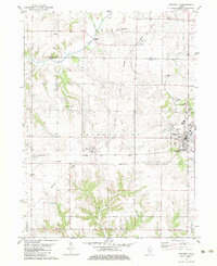 1982 Princeville1983 Print · USGSPeoria County's agricultural heartland is documented here in the early eighties, showcasing the vital rail junction at Princeville. Researchers can locate old burial grounds like Stringtown Cem and trace the paths of the Burlington Northern and Atchison Topeka and Santa Fe railroads.
 - 1983 Map of Castleton, 1984 Print
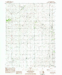 1983 Castleton1984 Print · USGSStark County farm country is captured here during the early eighties, showing the steady rhythm of rural life across Penn and Valley townships. Researchers can trace family history at Eagleston Cem or locate the old Burlington Northern and Chicago and North Western rail lines.
 - 1983 Map of Wyoming, 1984 Print
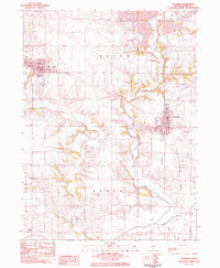 1983 Wyoming1984 Print · USGSSmall-town Illinois life and prairie agriculture define the landscape in the early 1980s. Researchers can trace family sites at St Dominics Cem and Sheets Cem or follow the Burlington Northern line between Toulon and Wyoming.
 - 1983 Map of Bradford, 1984 Print
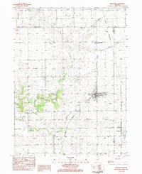 1983 Bradford1984 Print · USGSStark County and Bureau County agriculture and rail networks are well-defined in the early 1980s. Researchers can trace family history through sites like St Johns Cem and Smith Cem or explore the rail hubs of Bradford and Lombardville.2 unique versions available
 - 1983 Map of Kewanee South, 1984 Print
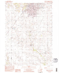 1983 Kewanee South1984 Print · USGSKewanee and the surrounding prairies of Henry and Stark Counties are shown in the early 1980s as the city expands southward into Wethersfield. Researchers can trace local genealogy and civic growth through sites like Evergreen Memory Garden, Visitation School, and the Burlington Northern rail line.2 unique versions available
 - 1983 Map of La Fayette, 1984 Print
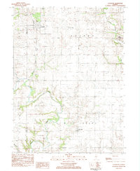 1983 La Fayette1984 Print · USGSSettlement patterns and rural life in Stark County are documented here in the early 1980s. Genealogists can locate family landmarks like McClenahan Cem and trace the Old Railroad Grade near La Fayette.
 - 1983 Map of Elmira, 1984 Print
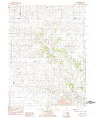 1983 Elmira1984 Print · USGSStark County's agricultural and mining landscape is captured here in the early eighties as rural life centered around the Spoon River. Researchers can locate ancestral sites at Osceola Cem and trace the small-town footprints of Elmira and Modena.
 - 1985 Map of Kewanee
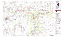 1985 Kewanee1985 Print · USGSNorth-central Illinois in the mid-eighties shows a landscape of river-valley industry and prairie transit. Researchers can trace family roots through Evergreen Memory Garden or follow the historic Hennepin Canal past Tiskilwa and Wyanet.2 unique versions available
Showing maps 1-25 of 75
Top cities of Stark County
- Wyoming historical maps
- Toulon historical maps
- Osceola historical maps
- Bradford historical maps
- Elmira historical maps
- West Jersey historical maps
Frequently asked questions
- What are the different types of historical maps available for Stark County?
- What is the oldest map of Stark County?
- Where can I purchase historical maps of Stark County for my home or office?
- Where can I download high-res historical maps of Stark County?
- Are there historical topographic maps available for Stark County?
- Is there historical aerial imagery available for Stark County?
- Where are historical maps of Stark County sourced from?